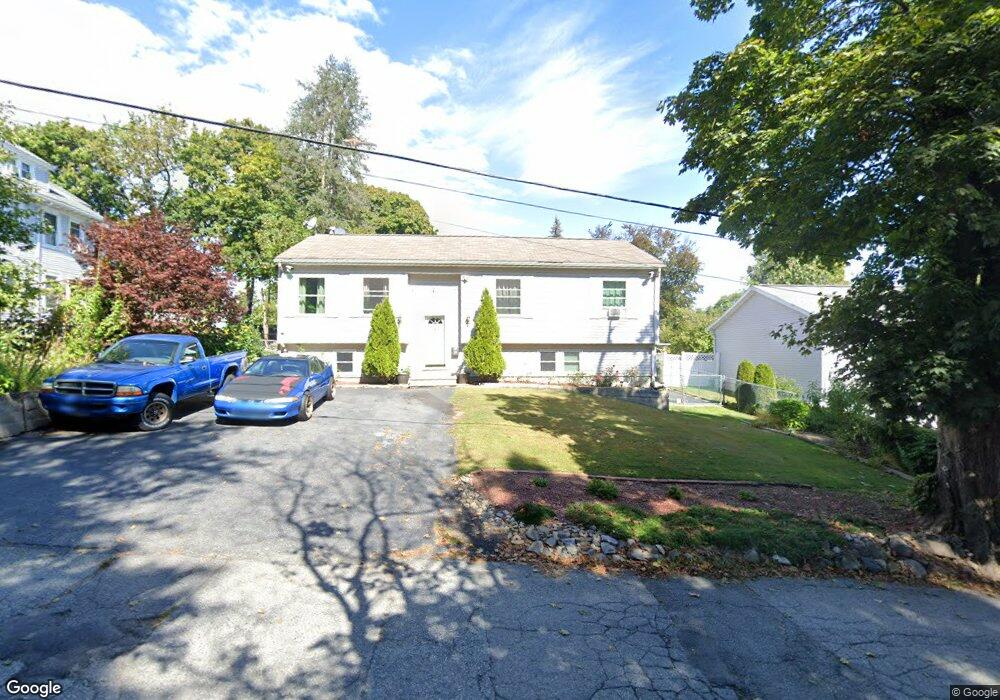
20 Baker St Worcester, MA 01603
Webster Square NeighborhoodEstimated Value: $382,000 - $526,000
3
Beds
3
Baths
1,138
Sq Ft
$408/Sq Ft
Est. Value
About This Home
This home is located at 20 Baker St, Worcester, MA 01603 and is currently estimated at $464,399, approximately $408 per square foot. 20 Baker St is a home located in Worcester County with nearby schools including Gates Lane, Jacob Hiatt Magnet School, and Chandler Magnet.
Ownership History
Date
Name
Owned For
Owner Type
Purchase Details
Closed on
Mar 19, 2015
Sold by
Nieves Edwin and Nieves Zenaida
Bought by
Nieves Zenaida
Current Estimated Value
Purchase Details
Closed on
Jul 1, 2002
Sold by
Labuff Barbara H
Bought by
Nieves Edwin and Nieves Zenaida
Home Financials for this Owner
Home Financials are based on the most recent Mortgage that was taken out on this home.
Original Mortgage
$180,500
Interest Rate
6.92%
Mortgage Type
Purchase Money Mortgage
Purchase Details
Closed on
Apr 27, 1998
Sold by
Little Creek Product
Bought by
Greene Barbara H
Create a Home Valuation Report for This Property
The Home Valuation Report is an in-depth analysis detailing your home's value as well as a comparison with similar homes in the area
Home Values in the Area
Average Home Value in this Area
Purchase History
| Date | Buyer | Sale Price | Title Company |
|---|---|---|---|
| Nieves Zenaida | -- | -- | |
| Nieves Edwin | $190,000 | -- | |
| Greene Barbara H | $105,000 | -- |
Source: Public Records
Mortgage History
| Date | Status | Borrower | Loan Amount |
|---|---|---|---|
| Previous Owner | Greene Barbara H | $180,500 | |
| Previous Owner | Greene Barbara H | $155,500 | |
| Previous Owner | Greene Barbara H | $50,510 |
Source: Public Records
Tax History Compared to Growth
Tax History
| Year | Tax Paid | Tax Assessment Tax Assessment Total Assessment is a certain percentage of the fair market value that is determined by local assessors to be the total taxable value of land and additions on the property. | Land | Improvement |
|---|---|---|---|---|
| 2025 | $5,520 | $418,500 | $97,600 | $320,900 |
| 2024 | $5,353 | $389,300 | $97,600 | $291,700 |
| 2023 | $5,342 | $372,500 | $84,800 | $287,700 |
| 2022 | $4,644 | $305,300 | $67,900 | $237,400 |
| 2021 | $4,615 | $283,500 | $54,300 | $229,200 |
| 2020 | $4,383 | $257,800 | $53,900 | $203,900 |
| 2019 | $4,221 | $234,500 | $47,000 | $187,500 |
| 2018 | $4,230 | $223,700 | $47,000 | $176,700 |
| 2017 | $4,040 | $210,200 | $47,000 | $163,200 |
| 2016 | $4,019 | $195,000 | $33,200 | $161,800 |
| 2015 | $3,914 | $195,000 | $33,200 | $161,800 |
| 2014 | $3,810 | $195,000 | $33,200 | $161,800 |
Source: Public Records
Map
Nearby Homes
- 23 Lakewood St
- 2 Montague St
- 5 Stoneland Rd
- 25 Wyola Dr
- 12 Stoneland Rd
- 26 Sylvan St
- 19 Monticello Dr
- 19 Oliver St
- 114 Lovell St
- 47 Birch St
- 15 Teddy Rd
- 28 Richards St
- 54 Richards St
- 56 Richards St
- 170 Stafford St
- 128 Wildwood Ave
- 103 Illinois St
- 22 Lanark St
- 34 Rosslare Dr Unit 108
- 76 Parsons Hill Dr Unit A