20 Barbaret Rd Torrington, CT 06790
Estimated Value: $528,000 - $658,000
4
Beds
3
Baths
2,864
Sq Ft
$206/Sq Ft
Est. Value
About This Home
This home is located at 20 Barbaret Rd, Torrington, CT 06790 and is currently estimated at $588,797, approximately $205 per square foot. 20 Barbaret Rd is a home located in Litchfield County with nearby schools including Torrington Middle School and Torrington High School.
Ownership History
Date
Name
Owned For
Owner Type
Purchase Details
Closed on
Feb 27, 2003
Sold by
Schibi Otto
Bought by
Amato David and Amato Lynn
Current Estimated Value
Home Financials for this Owner
Home Financials are based on the most recent Mortgage that was taken out on this home.
Original Mortgage
$70,000
Interest Rate
4.25%
Create a Home Valuation Report for This Property
The Home Valuation Report is an in-depth analysis detailing your home's value as well as a comparison with similar homes in the area
Home Values in the Area
Average Home Value in this Area
Purchase History
| Date | Buyer | Sale Price | Title Company |
|---|---|---|---|
| Amato David | $100,000 | -- |
Source: Public Records
Mortgage History
| Date | Status | Borrower | Loan Amount |
|---|---|---|---|
| Open | Amato David | $140,000 | |
| Closed | Amato David | $35,000 | |
| Closed | Amato David | $200,000 | |
| Closed | Amato David | $70,000 |
Source: Public Records
Tax History
| Year | Tax Paid | Tax Assessment Tax Assessment Total Assessment is a certain percentage of the fair market value that is determined by local assessors to be the total taxable value of land and additions on the property. | Land | Improvement |
|---|---|---|---|---|
| 2025 | $14,085 | $366,310 | $57,190 | $309,120 |
| 2024 | $10,932 | $227,900 | $57,200 | $170,700 |
| 2023 | $10,930 | $227,900 | $57,200 | $170,700 |
| 2022 | $10,743 | $227,900 | $57,200 | $170,700 |
| 2021 | $10,522 | $227,900 | $57,200 | $170,700 |
| 2020 | $10,522 | $227,900 | $57,200 | $170,700 |
| 2019 | $11,362 | $246,100 | $62,780 | $183,320 |
| 2018 | $11,362 | $246,100 | $62,780 | $183,320 |
| 2017 | $11,259 | $246,100 | $62,780 | $183,320 |
| 2016 | $11,259 | $246,100 | $62,780 | $183,320 |
| 2015 | $11,259 | $246,100 | $62,780 | $183,320 |
| 2014 | $10,587 | $291,480 | $82,460 | $209,020 |
Source: Public Records
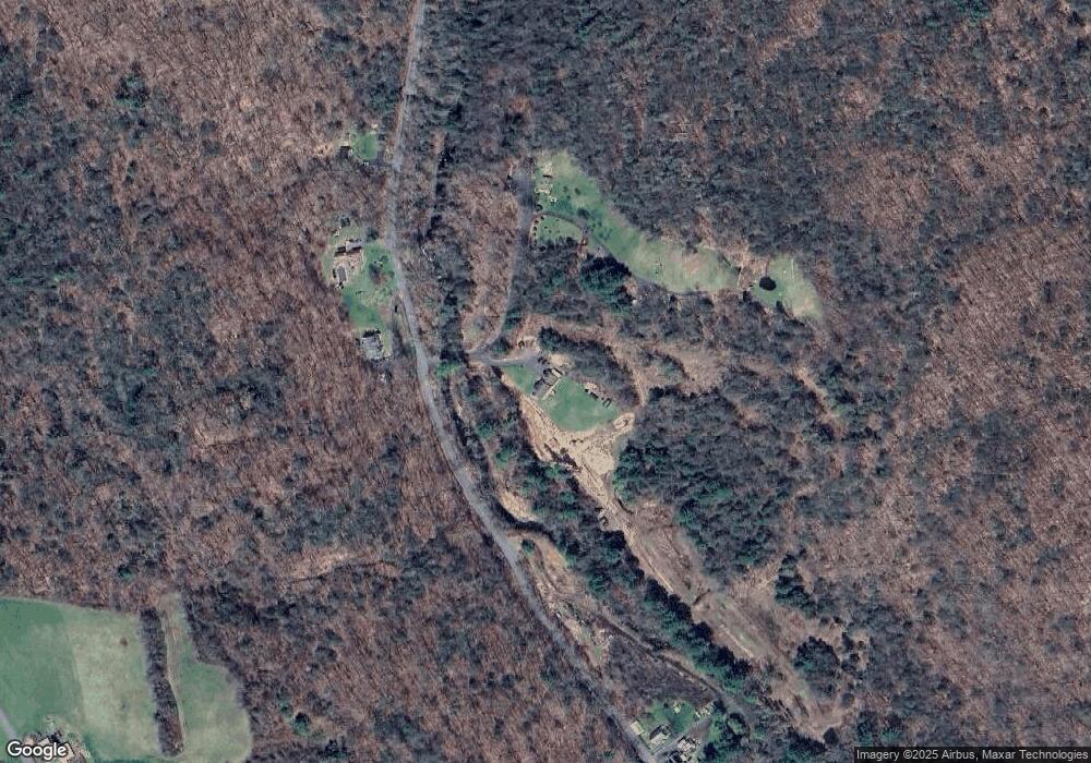
Map
Nearby Homes
- 000 Newfield Rd
- 143 Caulfield Rd
- 274 Cliffside Dr Unit 274
- 389 Trailsend Dr
- 215 Ledge Dr
- 174 Ledge Dr
- 28 Evergreen Rd
- 225 Ledge Dr
- 319 Cliffside Dr
- 207 Ledge Dr
- 431 Trailsend Dr Unit + Garage G128
- 65 Woodside Cir Unit 65
- 469 Platt Hill Rd
- 0 Meyer Rd
- 1365 Norfolk Rd
- 617 Guerdat Rd
- 00 Chapel Rd
- 2547 Winsted Rd
- 105,107 E Mountain Rd
- 817 E Wakefield Blvd
- Lot 002 Newfield and Barbaret Rd
- 84 Barbaret Rd
- 2663 Newfield Rd
- 2691 Newfield Rd
- 2480 Newfield Rd
- 2725 Newfield Rd
- 2492 Newfield Rd
- 2470 Newfield Rd
- 2434 Newfield Rd
- 2584 Mountain Rd
- 2753 Mountain Rd
- 2404 Newfield Rd
- 371 Cardinal Cir
- 2570 Mountain Rd
- 2641 Mountain Rd
- 2380 Newfield Rd
- 2880 Mountain Rd
- 359 Cardinal Cir
- 379 Cardinal Cir
- 2335 Newfield Rd