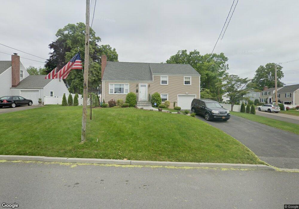
20 Barrett Ln Port Chester, NY 10573
Estimated Value: $814,000 - $884,000
3
Beds
2
Baths
1,700
Sq Ft
$505/Sq Ft
Est. Value
About This Home
This home is located at 20 Barrett Ln, Port Chester, NY 10573 and is currently estimated at $858,194, approximately $504 per square foot. 20 Barrett Ln is a home located in Westchester County with nearby schools including Port Chester Middle School, Port Chester Senior High School, and Westchester Fairfield Hebrew A.
Ownership History
Date
Name
Owned For
Owner Type
Purchase Details
Closed on
Aug 15, 2011
Sold by
Mcneil Daniel J
Bought by
Klauck Eric and Klauck Tania Lynn
Current Estimated Value
Home Financials for this Owner
Home Financials are based on the most recent Mortgage that was taken out on this home.
Original Mortgage
$336,000
Outstanding Balance
$232,208
Interest Rate
4.53%
Mortgage Type
New Conventional
Estimated Equity
$625,986
Create a Home Valuation Report for This Property
The Home Valuation Report is an in-depth analysis detailing your home's value as well as a comparison with similar homes in the area
Home Values in the Area
Average Home Value in this Area
Purchase History
| Date | Buyer | Sale Price | Title Company |
|---|---|---|---|
| Klauck Eric | $420,000 | Fidelity National Title |
Source: Public Records
Mortgage History
| Date | Status | Borrower | Loan Amount |
|---|---|---|---|
| Open | Klauck Eric | $336,000 |
Source: Public Records
Tax History Compared to Growth
Tax History
| Year | Tax Paid | Tax Assessment Tax Assessment Total Assessment is a certain percentage of the fair market value that is determined by local assessors to be the total taxable value of land and additions on the property. | Land | Improvement |
|---|---|---|---|---|
| 2024 | $14,726 | $684,700 | $276,200 | $408,500 |
| 2023 | $13,988 | $658,400 | $263,000 | $395,400 |
| 2022 | $12,915 | $627,000 | $263,000 | $364,000 |
| 2021 | $13,850 | $570,000 | $263,000 | $307,000 |
| 2020 | $12,374 | $570,000 | $263,000 | $307,000 |
| 2019 | $14,398 | $469,500 | $210,700 | $258,800 |
| 2018 | $8,729 | $460,600 | $206,500 | $254,100 |
| 2017 | $1,952 | $456,300 | $204,500 | $251,800 |
| 2016 | $11,160 | $443,400 | $203,200 | $240,200 |
| 2015 | -- | $454,400 | $207,400 | $247,000 |
| 2014 | -- | $411,300 | $188,100 | $223,200 |
| 2013 | -- | $405,600 | $182,400 | $223,200 |
Source: Public Records
Map
Nearby Homes
- 567 King St
- 563 King St
- 565 King St
- 28 1/2 Pilgrim Dr
- 17 Austin Place
- 53 Upland St
- 106 Puritan Dr
- 82 Shelley Ave
- 79 Robert Ave
- 263 N Regent St
- 256 N Regent St
- 53 Linden St
- 238 Madison Ave
- 60 Lafayette Dr
- 531 1/2 Willett Ave
- 38 Riverdale Ave
- 107 Pemberwick Rd
- 23 W Glen Ave
- 139 Betsy Brown Rd
- 29 Clermont Ave