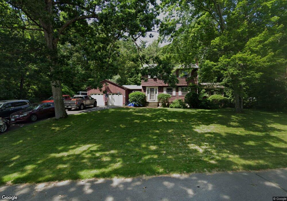
20 Berkley St MerriMacK, NH 03054
Estimated Value: $555,561 - $600,000
3
Beds
2
Baths
2,176
Sq Ft
$266/Sq Ft
Est. Value
About This Home
This home is located at 20 Berkley St, MerriMacK, NH 03054 and is currently estimated at $579,140, approximately $266 per square foot. 20 Berkley St is a home located in Hillsborough County with nearby schools including Reeds Ferry School, James Mastricola Upper Elementary School, and Merrimack Middle School.
Ownership History
Date
Name
Owned For
Owner Type
Purchase Details
Closed on
Apr 30, 1998
Sold by
Wilds Deborah A
Bought by
Haddad Justin W and Haddad Deana L
Current Estimated Value
Home Financials for this Owner
Home Financials are based on the most recent Mortgage that was taken out on this home.
Original Mortgage
$139,753
Outstanding Balance
$27,164
Interest Rate
7.04%
Estimated Equity
$551,976
Create a Home Valuation Report for This Property
The Home Valuation Report is an in-depth analysis detailing your home's value as well as a comparison with similar homes in the area
Home Values in the Area
Average Home Value in this Area
Purchase History
| Date | Buyer | Sale Price | Title Company |
|---|---|---|---|
| Haddad Justin W | $143,000 | -- |
Source: Public Records
Mortgage History
| Date | Status | Borrower | Loan Amount |
|---|---|---|---|
| Open | Haddad Justin W | $62,000 | |
| Closed | Haddad Justin W | $30,000 | |
| Closed | Haddad Justin W | $27,000 | |
| Open | Haddad Justin W | $139,753 |
Source: Public Records
Tax History Compared to Growth
Tax History
| Year | Tax Paid | Tax Assessment Tax Assessment Total Assessment is a certain percentage of the fair market value that is determined by local assessors to be the total taxable value of land and additions on the property. | Land | Improvement |
|---|---|---|---|---|
| 2024 | $7,966 | $385,000 | $198,900 | $186,100 |
| 2023 | $7,488 | $385,000 | $198,900 | $186,100 |
| 2022 | $6,655 | $382,900 | $198,900 | $184,000 |
| 2021 | $6,574 | $382,900 | $198,900 | $184,000 |
| 2020 | $6,633 | $275,700 | $133,200 | $142,500 |
| 2019 | $6,653 | $275,700 | $133,200 | $142,500 |
| 2018 | $6,650 | $275,700 | $133,200 | $142,500 |
| 2017 | $6,443 | $275,700 | $133,200 | $142,500 |
| 2016 | $6,399 | $280,800 | $133,200 | $147,600 |
| 2015 | $6,449 | $260,900 | $120,400 | $140,500 |
| 2014 | $6,285 | $260,900 | $120,400 | $140,500 |
| 2013 | $6,238 | $260,900 | $120,400 | $140,500 |
Source: Public Records
Map
Nearby Homes
- 22 Clay St
- 98 Indian Rock Rd
- 8 Donovan Ct
- 38 Mallard Point
- 3 Independence Dr
- 5 Fernwood Dr
- 19 Vista Way
- 8 Highland Green Ln
- 10 Kingston Ct Unit 10
- 22 Essex Green Ct
- 12 Clinton Ct
- 11 Essex Green Ct
- 7 Hadley Rd
- 5 Barbie Ct
- 1 Pleasant St
- 7 Beacon Dr
- 14 Mayflower Dr
- 20 Jakes Ln
- 29 Bedford Rd
- 40 Turkey Hill Rd