20 Bristol Rd Freeport, ME 04032
Estimated Value: $1,179,000 - $2,443,000
4
Beds
3
Baths
4,272
Sq Ft
$379/Sq Ft
Est. Value
About This Home
This home is located at 20 Bristol Rd, Freeport, ME 04032 and is currently estimated at $1,618,716, approximately $378 per square foot. 20 Bristol Rd is a home with nearby schools including Morse Street School, Mast Landing School, and Freeport Middle School.
Create a Home Valuation Report for This Property
The Home Valuation Report is an in-depth analysis detailing your home's value as well as a comparison with similar homes in the area
Home Values in the Area
Average Home Value in this Area
Tax History
| Year | Tax Paid | Tax Assessment Tax Assessment Total Assessment is a certain percentage of the fair market value that is determined by local assessors to be the total taxable value of land and additions on the property. | Land | Improvement |
|---|---|---|---|---|
| 2025 | $14,853 | $1,072,400 | $260,700 | $811,700 |
| 2024 | $14,150 | $1,059,900 | $248,200 | $811,700 |
| 2023 | $12,788 | $930,000 | $225,600 | $704,400 |
| 2022 | $12,374 | $906,500 | $202,100 | $704,400 |
| 2021 | $12,102 | $906,500 | $202,100 | $704,400 |
| 2020 | $11,556 | $825,400 | $176,500 | $648,900 |
| 2019 | $11,113 | $777,100 | $166,500 | $610,600 |
| 2018 | $11,053 | $734,400 | $163,100 | $571,300 |
| 2017 | $10,532 | $704,500 | $159,300 | $545,200 |
| 2016 | $10,159 | $643,000 | $144,200 | $498,800 |
| 2015 | $10,164 | $605,000 | $131,800 | $473,200 |
| 2014 | $9,559 | $605,000 | $131,800 | $473,200 |
| 2013 | $9,393 | $592,600 | $131,200 | $461,400 |
Source: Public Records
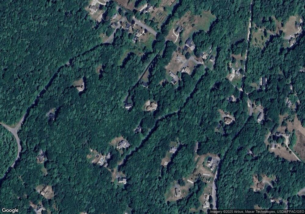
Map
Nearby Homes
- 20 Harvest Ridge Rd Unit 23
- 26 Harvest Ridge Rd Unit 24
- 15 Linwood Rd Unit 15
- 39 Hunter Rd
- 67 Farmview Ln
- 5 Holbrook St
- 52 Birch Point Rd
- 2 Tidal Brook Rd
- 62 Webster Rd
- 10 Durham Rd
- 27 Youngs Ln Unit 27
- 212 Main St
- 11 Orchard Hill Rd
- 42 Durham Rd
- 58 Maquoit Dr
- 70 Maquoit Dr
- 8 Statler Ln
- 9 Gables Dr Unit 9
- 15 Tinkers Way
- 1260 Us Route 1
Your Personal Tour Guide
Ask me questions while you tour the home.