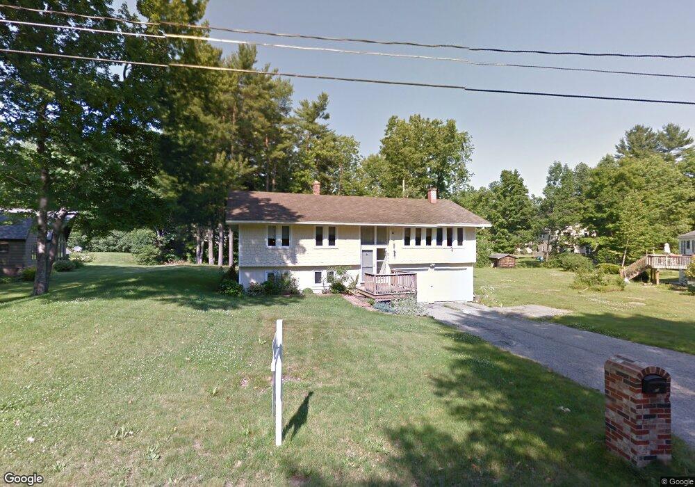
20 Brookside Dr Standish, ME 04084
Estimated Value: $394,000 - $592,000
About This Home
This home is located at 20 Brookside Dr, Standish, ME 04084 and is currently estimated at $492,326, approximately $228 per square foot. 20 Brookside Dr is a home located in Cumberland County with nearby schools including Bonny Eagle High School and Standish Baptist Academy.
Ownership History
We collect this data history from publicly available records. To have your information removed, we recommend requesting removal directly through your county’s website.
Purchase Details
Home Financials for this Owner
Home Financials are based on the most recent Mortgage that was taken out on this home.Purchase Details
Home Values in the Area
Average Home Value in this Area
Purchase History
We collect this data history from publicly available records. To have your information removed, we recommend requesting removal directly through your county’s website.
| Date | Buyer | Sale Price | Title Company |
|---|---|---|---|
| -- | -- | ||
| -- | -- |
Mortgage History
We collect this data history from publicly available records. To have your information removed, we recommend requesting removal directly through your county’s website.
| Date | Status | Borrower | Loan Amount |
|---|---|---|---|
| Open | $116,000 |
Tax History
We collect this data history from publicly available records. To have your information removed, we recommend requesting removal directly through your county’s website.
| Year | Tax Paid | Tax Assessment Tax Assessment Total Assessment is a certain percentage of the fair market value that is determined by local assessors to be the total taxable value of land and additions on the property. | Land | Improvement |
|---|---|---|---|---|
| 2025 | $4,086 | $329,500 | $66,600 | $262,900 |
| 2024 | $3,950 | $313,500 | $61,400 | $252,100 |
| 2023 | $3,593 | $259,400 | $51,200 | $208,200 |
| 2022 | $3,436 | $237,800 | $45,300 | $192,500 |
| 2021 | $3,291 | $219,400 | $41,400 | $178,000 |
| 2019 | $2,926 | $204,600 | $40,100 | $164,500 |
| 2018 | $2,808 | $202,000 | $37,500 | $164,500 |
| 2017 | $2,677 | $202,000 | $37,500 | $164,500 |
| 2016 | $2,590 | $202,000 | $37,500 | $164,500 |
| 2015 | $2,584 | $202,000 | $37,500 | $164,500 |
| 2013 | -- | $202,000 | $37,500 | $164,500 |
Map
- 18 Brookside Dr
- 12 Brookside Dr
- 261 Northeast Rd
- LOT #54 Woodbrey Heights
- 29 Woodbrey Ln
- LOT #5 Eastern Ln
- 46 Woodbrey Ln
- LOT #65 Eastern Ln
- 20 Eastern Ln
- LOT #34 Woodbrey Ln
- 24 Eastern Ln
- 60 Woodbrey Ln
- 33 Woodbrey Ln
- Lot 1 Young's Way
- Lot 2 Youngs Way
- 407 Northeast Rd
- 152 Blake Rd
- 2 Gilbert Dr
- 761 Fort Hill Rd
- 63 Ossipee Trail E
- 19 Brookside Dr
- 22 Brookside Dr
- 2 Wildridge Rd
- 15 Brookside Dr
- 17 Brookside Dr
- 6 Mast Pine Cir
- 4 Mast Pine Cir
- 4 Wildridge Rd
- 11 Brookside Dr
- 3 Wildbrook Ln
- 6 Wildridge Rd
- 5 Wildbrook Ln
- 34 Shaws Mill Rd
- 40 Shaws Mill Rd
- 9 Brookside Dr
- 1 Wildbrook Ln
- 76 Shaws Mill Rd
- 5 Mast Pine Cir
- 7 Mast Pine Cir
- 8 Brookside Dr
Ask me questions while you tour the home.