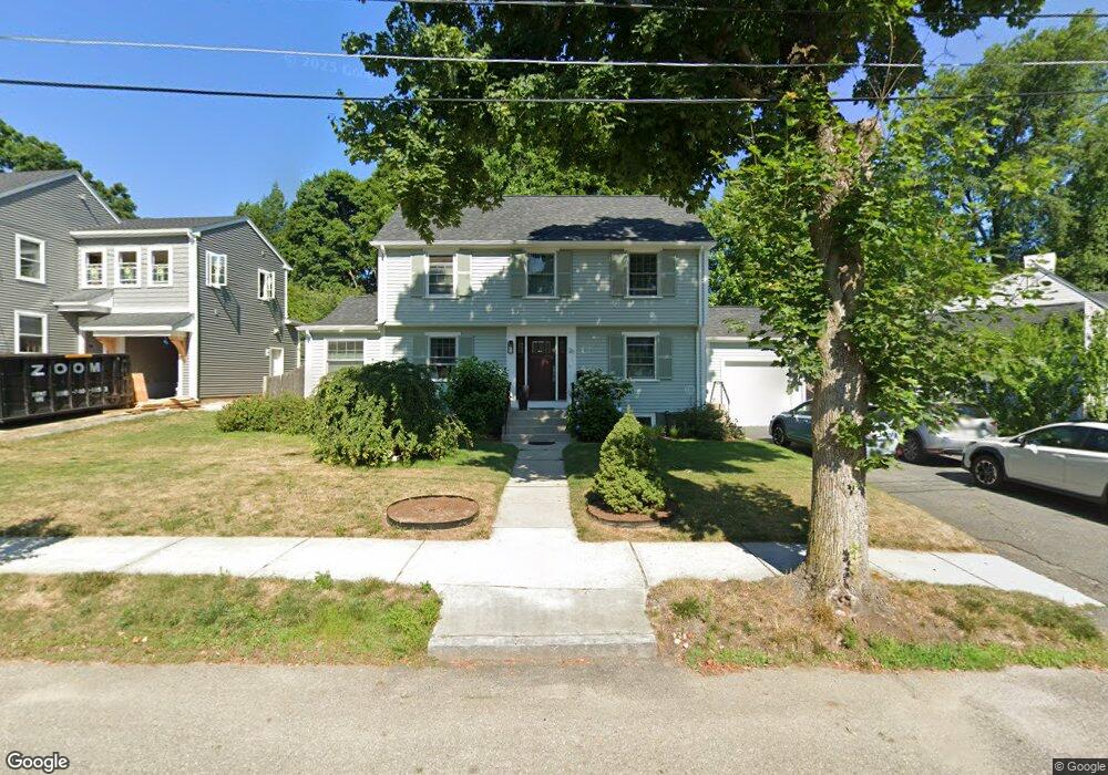
20 Bunker Ln West Newton, MA 02465
West Newton NeighborhoodEstimated Value: $1,236,000 - $1,533,000
3
Beds
2
Baths
1,808
Sq Ft
$741/Sq Ft
Est. Value
About This Home
This home is located at 20 Bunker Ln, West Newton, MA 02465 and is currently estimated at $1,340,621, approximately $741 per square foot. 20 Bunker Ln is a home located in Middlesex County with nearby schools including Franklin Elementary School, Horace Mann Elementary School, and F.A. Day Middle School.
Create a Home Valuation Report for This Property
The Home Valuation Report is an in-depth analysis detailing your home's value as well as a comparison with similar homes in the area
Home Values in the Area
Average Home Value in this Area
Tax History Compared to Growth
Tax History
| Year | Tax Paid | Tax Assessment Tax Assessment Total Assessment is a certain percentage of the fair market value that is determined by local assessors to be the total taxable value of land and additions on the property. | Land | Improvement |
|---|---|---|---|---|
| 2025 | $10,271 | $1,048,100 | $829,000 | $219,100 |
| 2024 | $9,932 | $1,017,600 | $804,900 | $212,700 |
| 2023 | $9,456 | $928,900 | $611,000 | $317,900 |
| 2022 | $9,048 | $860,100 | $565,700 | $294,400 |
| 2021 | $8,731 | $811,400 | $533,700 | $277,700 |
| 2020 | $8,471 | $811,400 | $533,700 | $277,700 |
| 2019 | $8,233 | $787,800 | $518,200 | $269,600 |
| 2018 | $8,175 | $755,500 | $469,500 | $286,000 |
| 2017 | $7,925 | $712,700 | $442,900 | $269,800 |
| 2016 | $7,580 | $666,100 | $413,900 | $252,200 |
| 2015 | $6,978 | $601,000 | $386,800 | $214,200 |
Source: Public Records
Map
Nearby Homes
- 321 Albemarle Rd
- 27 Cross St Unit 27
- 43 Walker St
- 4 Wiswall St
- 12 Wiswall St
- 354 Linwood Ave Unit 1
- 611 Watertown St Unit 14
- 53-55 N Gate Park
- 57 Walnut St
- 32-34 Rossmere St
- 123 Mount Vernon St Unit 2
- 935 Washington St (Rear Facing) Unit 11
- 935 Washington St Unit 8
- 41 Kilburn Rd
- 911 Washington St
- 97 North St
- 168 Walnut St
- 318 Austin St Unit A
- 33 Joseph Rd
- 76 Harding St