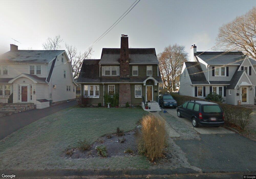
20 Carlin St Norwalk, CT 06851
Wolfpit NeighborhoodEstimated Value: $655,889 - $714,000
2
Beds
3
Baths
1,614
Sq Ft
$419/Sq Ft
Est. Value
About This Home
This home is located at 20 Carlin St, Norwalk, CT 06851 and is currently estimated at $675,472, approximately $418 per square foot. 20 Carlin St is a home located in Fairfield County with nearby schools including Tracey School, West Rocks Middle School, and Norwalk High School.
Ownership History
Date
Name
Owned For
Owner Type
Purchase Details
Closed on
Nov 6, 2000
Sold by
Yackulics Charles
Bought by
Cigrang Sharon and Williams James
Current Estimated Value
Home Financials for this Owner
Home Financials are based on the most recent Mortgage that was taken out on this home.
Original Mortgage
$216,000
Outstanding Balance
$79,308
Interest Rate
7.83%
Estimated Equity
$596,164
Create a Home Valuation Report for This Property
The Home Valuation Report is an in-depth analysis detailing your home's value as well as a comparison with similar homes in the area
Home Values in the Area
Average Home Value in this Area
Purchase History
| Date | Buyer | Sale Price | Title Company |
|---|---|---|---|
| Cigrang Sharon | $270,000 | -- | |
| Cigrang Sharon | $270,000 | -- |
Source: Public Records
Mortgage History
| Date | Status | Borrower | Loan Amount |
|---|---|---|---|
| Open | Cigrang Sharon | $216,000 | |
| Closed | Cigrang Sharon | $216,000 | |
| Previous Owner | Cigrang Sharon | $150,000 | |
| Previous Owner | Cigrang Sharon | $66,000 | |
| Closed | Cigrang Sharon | $27,000 |
Source: Public Records
Tax History Compared to Growth
Tax History
| Year | Tax Paid | Tax Assessment Tax Assessment Total Assessment is a certain percentage of the fair market value that is determined by local assessors to be the total taxable value of land and additions on the property. | Land | Improvement |
|---|---|---|---|---|
| 2025 | $8,809 | $367,850 | $177,900 | $189,950 |
| 2024 | $8,678 | $367,850 | $177,900 | $189,950 |
| 2023 | $5,217 | $207,330 | $108,190 | $99,140 |
| 2022 | $5,120 | $207,340 | $108,200 | $99,140 |
| 2021 | $4,986 | $207,330 | $108,190 | $99,140 |
| 2020 | $4,984 | $207,330 | $108,190 | $99,140 |
| 2019 | $4,844 | $207,330 | $108,190 | $99,140 |
| 2018 | $6,845 | $256,720 | $164,050 | $92,670 |
| 2017 | $6,610 | $256,720 | $164,050 | $92,670 |
| 2016 | $6,546 | $256,720 | $164,050 | $92,670 |
| 2015 | $6,528 | $256,720 | $164,050 | $92,670 |
| 2014 | $6,444 | $256,720 | $164,050 | $92,670 |
Source: Public Records
Map
Nearby Homes
- 72 Dry Hill Rd
- 71 Saddle Rd
- 30 Friendly Rd
- 38 Saddle Rd
- 12 Hawthorne Dr
- 29 Saddle Rd
- 19 Murray St
- 1 Blue Mountain Ridge
- 9 Allen Ct
- 1 Wolfpit Ave Unit 12
- 14 E Rocks Rd
- 81 Wolfpit Ave Unit C6
- 324 Strawberry Hill Ave Unit B208
- 360 Westport Ave Unit 10
- 100 Wolfpit Ave Unit 2
- 100 Wolfpit Ave Unit 17
- 20 W Rocks Rd
- 6 Plumley Cir
- 9 Trailside Dr
- 142 Wolfpit Ave