20 Carter St Tewksbury, MA 01876
Estimated Value: $8,469,709
--
Bed
--
Bath
104,000
Sq Ft
$81/Sq Ft
Est. Value
About This Home
This home is located at 20 Carter St, Tewksbury, MA 01876 and is currently estimated at $8,469,709, approximately $81 per square foot. 20 Carter St is a home located in Middlesex County with nearby schools including John F. Ryan Elementary School, John W. Wynn Middle School, and Tewksbury Memorial High School.
Ownership History
Date
Name
Owned For
Owner Type
Purchase Details
Closed on
Nov 23, 2005
Sold by
Orion Fitness Corp
Bought by
Carter St Rt and Haynes
Current Estimated Value
Purchase Details
Closed on
Apr 25, 1994
Sold by
Building 62 Corp
Bought by
Orion Fitness Corp
Purchase Details
Closed on
Jan 13, 1994
Sold by
Sfa Rt and Baybank
Bought by
Building 62 Corp
Create a Home Valuation Report for This Property
The Home Valuation Report is an in-depth analysis detailing your home's value as well as a comparison with similar homes in the area
Home Values in the Area
Average Home Value in this Area
Purchase History
| Date | Buyer | Sale Price | Title Company |
|---|---|---|---|
| Carter St Rt | $4,563,500 | -- | |
| Carter St Rt | $4,563,500 | -- | |
| Orion Fitness Corp | $665,000 | -- | |
| Orion Fitness Corp | $665,000 | -- | |
| Building 62 Corp | $660,000 | -- | |
| Building 62 Corp | $660,000 | -- |
Source: Public Records
Mortgage History
| Date | Status | Borrower | Loan Amount |
|---|---|---|---|
| Open | Building 62 Corp | $500,000 | |
| Open | Building 62 Corp | $4,500,000 |
Source: Public Records
Tax History Compared to Growth
Tax History
| Year | Tax Paid | Tax Assessment Tax Assessment Total Assessment is a certain percentage of the fair market value that is determined by local assessors to be the total taxable value of land and additions on the property. | Land | Improvement |
|---|---|---|---|---|
| 2025 | $0 | $5,632,000 | $679,900 | $4,952,100 |
| 2024 | $0 | $5,089,500 | $647,500 | $4,442,000 |
| 2023 | $0 | $4,820,200 | $588,700 | $4,231,500 |
| 2022 | $0 | $4,632,500 | $588,700 | $4,043,800 |
| 2021 | $0 | $4,799,800 | $588,700 | $4,211,100 |
| 2020 | $134,576 | $4,806,300 | $588,700 | $4,217,600 |
| 2019 | $131,654 | $4,764,900 | $588,700 | $4,176,200 |
| 2018 | $131,859 | $4,753,400 | $588,700 | $4,164,700 |
| 2017 | $132,420 | $4,759,900 | $588,700 | $4,171,200 |
| 2016 | $130,885 | $4,766,400 | $588,700 | $4,177,700 |
| 2015 | $131,148 | $4,748,300 | $588,700 | $4,159,600 |
| 2014 | $126,668 | $4,754,800 | $588,700 | $4,166,100 |
Source: Public Records
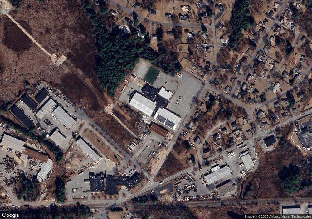
Map
Nearby Homes
- 5 Kensington Way Unit 5
- 120 Judique Rd
- 110 Royal Crest Cir
- 93 Vale St
- 69 Blanchard St
- 58 Blanchard St
- 109 Apache Way
- 837 Livingston St
- 14 Blanchard St
- 51 Nolan Ct Unit 51
- 71 Apache Way Unit 71
- 7 Stouffer Cir
- 101 Bellevue Rd
- 261 Apache Way
- 20 Meredith Rd
- 4 Hazelwood Cir
- 22 Haggetts Pond Rd
- 14 Geneva Rd
- 127 Caddy Ct
- 107 Eagle Dr Unit 107