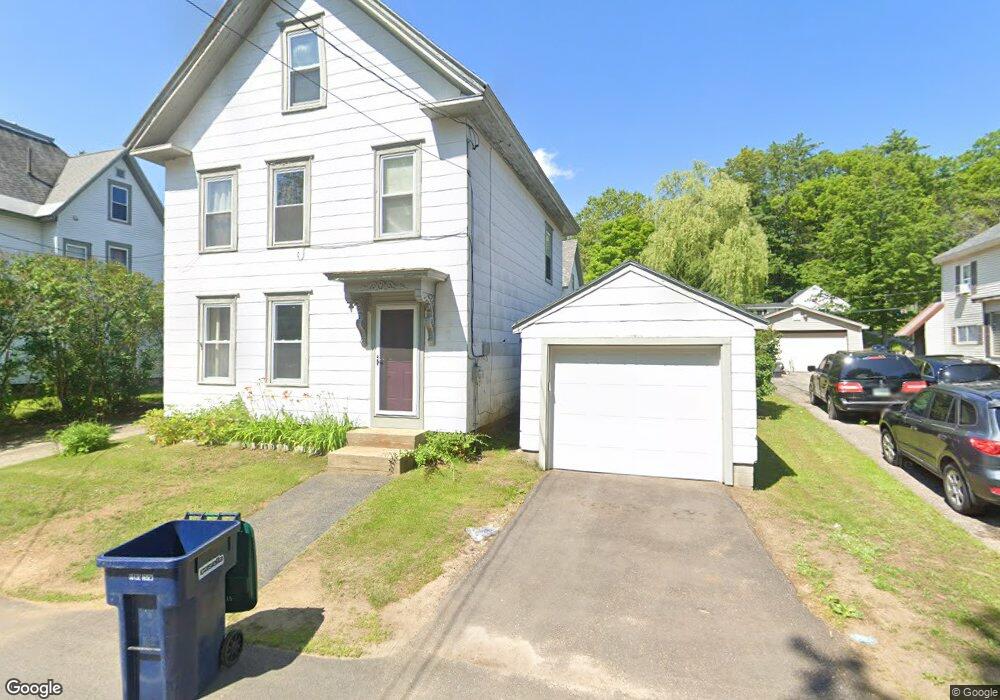
20 Cedar St Tilton, NH 03276
Tilton NeighborhoodEstimated Value: $355,700 - $397,000
3
Beds
2
Baths
1,900
Sq Ft
$201/Sq Ft
Est. Value
About This Home
This home is located at 20 Cedar St, Tilton, NH 03276 and is currently estimated at $382,175, approximately $201 per square foot. 20 Cedar St is a home located in Belknap County with nearby schools including Southwick School, Winnisquam Regional Middle School, and Winnisquam Regional High School.
Ownership History
Date
Name
Owned For
Owner Type
Purchase Details
Closed on
Nov 23, 2011
Sold by
Us Bank Na Tr
Bought by
Young Kirk J and Young Heather M
Current Estimated Value
Home Financials for this Owner
Home Financials are based on the most recent Mortgage that was taken out on this home.
Original Mortgage
$88,000
Outstanding Balance
$59,415
Interest Rate
4.12%
Mortgage Type
Purchase Money Mortgage
Estimated Equity
$322,760
Purchase Details
Closed on
Mar 15, 2011
Sold by
Durand Cassandre N
Bought by
Us Bank Na Tr
Purchase Details
Closed on
Aug 17, 2006
Sold by
Morrill One Ft
Bought by
Durand Cassandre N
Home Financials for this Owner
Home Financials are based on the most recent Mortgage that was taken out on this home.
Original Mortgage
$161,072
Interest Rate
6.88%
Create a Home Valuation Report for This Property
The Home Valuation Report is an in-depth analysis detailing your home's value as well as a comparison with similar homes in the area
Home Values in the Area
Average Home Value in this Area
Purchase History
| Date | Buyer | Sale Price | Title Company |
|---|---|---|---|
| Young Kirk J | $110,000 | -- | |
| Us Bank Na Tr | $131,800 | -- | |
| Durand Cassandre N | $202,000 | -- |
Source: Public Records
Mortgage History
| Date | Status | Borrower | Loan Amount |
|---|---|---|---|
| Open | Us Bank Na Tr | $88,000 | |
| Previous Owner | Durand Cassandre N | $161,072 |
Source: Public Records
Tax History
| Year | Tax Paid | Tax Assessment Tax Assessment Total Assessment is a certain percentage of the fair market value that is determined by local assessors to be the total taxable value of land and additions on the property. | Land | Improvement |
|---|---|---|---|---|
| 2025 | $3,489 | $309,000 | $103,500 | $205,500 |
| 2024 | $3,337 | $309,000 | $103,500 | $205,500 |
| 2023 | $3,089 | $174,400 | $42,500 | $131,900 |
| 2022 | $2,803 | $174,400 | $42,500 | $131,900 |
| 2021 | $2,853 | $174,400 | $42,500 | $131,900 |
| 2020 | $0 | $174,400 | $42,500 | $131,900 |
| 2019 | $3,420 | $174,400 | $42,500 | $131,900 |
| 2018 | $3,546 | $149,900 | $36,900 | $113,000 |
| 2017 | $3,493 | $149,900 | $36,900 | $113,000 |
| 2016 | $3,106 | $149,900 | $36,900 | $113,000 |
| 2015 | $3,443 | $149,900 | $36,900 | $113,000 |
| 2014 | $2,975 | $149,400 | $36,900 | $112,500 |
| 2013 | $2,591 | $141,600 | $27,100 | $114,500 |
| 2012 | $2,584 | $141,600 | $27,100 | $114,500 |
Source: Public Records
Map
Nearby Homes
- 8 West St
- 495 W Main St
- R02-13 Calef Hill Rd
- 199 School St
- 124 E Main St
- 25 Cofran Ave
- 24 Morrison Ave
- 5 Greenwood Dr
- 9 Aspen Rd
- 24 Pine Hill Rd
- 12 Stonehenge Cir
- 14 Stonehenge Cir Unit 11
- 12 Village Way Unit 38
- 22 Stonehenge Cir Unit 7
- 11 Stonehenge Cir Unit 2
- 15 Millstone Dr Unit 15
- 41 Village Way Unit 22
- 9 Stonehenge Cir Unit 1
- 48 Millstone Dr Unit 58
- 50 Millstone Dr Unit 57
Your Personal Tour Guide
Ask me questions while you tour the home.