20 Channel Ln Hampton, VA 23664
Buckroe Beach NeighborhoodEstimated Value: $758,808 - $910,000
3
Beds
4
Baths
3,103
Sq Ft
$270/Sq Ft
Est. Value
About This Home
This home is located at 20 Channel Ln, Hampton, VA 23664 and is currently estimated at $838,952, approximately $270 per square foot. 20 Channel Ln is a home located in Hampton City with nearby schools including Francis Asbury Elementary School, Benjamin Syms Middle School, and Phoebus High School.
Ownership History
Date
Name
Owned For
Owner Type
Purchase Details
Closed on
Nov 11, 2009
Sold by
Deutsche Bank National Trust
Bought by
Yaskowsky Michael A
Current Estimated Value
Home Financials for this Owner
Home Financials are based on the most recent Mortgage that was taken out on this home.
Original Mortgage
$367,920
Outstanding Balance
$239,253
Interest Rate
4.92%
Mortgage Type
New Conventional
Estimated Equity
$599,699
Purchase Details
Closed on
Aug 18, 2009
Sold by
Professional Foreclosure
Bought by
Deutsche Bank National Trust
Purchase Details
Closed on
May 18, 2005
Sold by
Daube Jeffrey
Bought by
Quarstein John
Home Financials for this Owner
Home Financials are based on the most recent Mortgage that was taken out on this home.
Original Mortgage
$532,000
Interest Rate
5.79%
Mortgage Type
FHA
Purchase Details
Closed on
Jun 5, 2002
Sold by
Cutler Ronald E
Bought by
Daube Jeffrey W
Create a Home Valuation Report for This Property
The Home Valuation Report is an in-depth analysis detailing your home's value as well as a comparison with similar homes in the area
Home Values in the Area
Average Home Value in this Area
Purchase History
| Date | Buyer | Sale Price | Title Company |
|---|---|---|---|
| Yaskowsky Michael A | $459,900 | -- | |
| Deutsche Bank National Trust | $297,818 | -- | |
| Quarstein John | $665,000 | -- | |
| Daube Jeffrey W | $45,000 | -- |
Source: Public Records
Mortgage History
| Date | Status | Borrower | Loan Amount |
|---|---|---|---|
| Open | Yaskowsky Michael A | $367,920 | |
| Previous Owner | Quarstein John | $532,000 |
Source: Public Records
Tax History
| Year | Tax Paid | Tax Assessment Tax Assessment Total Assessment is a certain percentage of the fair market value that is determined by local assessors to be the total taxable value of land and additions on the property. | Land | Improvement |
|---|---|---|---|---|
| 2025 | $8,846 | $778,300 | $220,000 | $558,300 |
| 2024 | $8,523 | $741,100 | $188,000 | $553,100 |
| 2023 | $8,376 | $722,100 | $160,000 | $562,100 |
| 2022 | $7,282 | $617,100 | $140,000 | $477,100 |
| 2021 | $6,645 | $525,400 | $135,000 | $390,400 |
| 2020 | $6,515 | $525,400 | $135,000 | $390,400 |
| 2019 | $6,515 | $525,400 | $200,100 | $325,300 |
| 2018 | $6,526 | $520,700 | $200,100 | $320,600 |
| 2017 | $6,551 | $0 | $0 | $0 |
| 2016 | $6,501 | $516,700 | $0 | $0 |
| 2015 | $6,501 | $0 | $0 | $0 |
| 2014 | $6,689 | $532,700 | $200,100 | $332,600 |
Source: Public Records
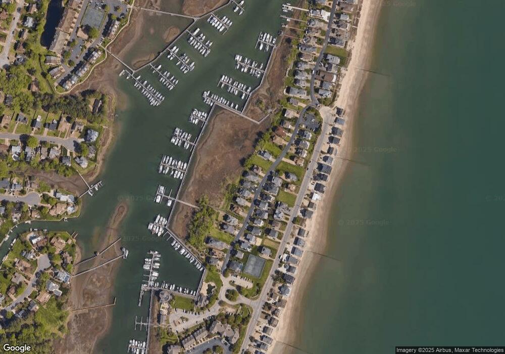
Map
Nearby Homes
- 22 Channel Ln
- 10 Channel Ln
- 34 Channel Ln
- 6 Channel Ln
- 1031 High Dunes Quay Unit 103
- 14 Bay Front Place
- 786 N First St
- 1003 High Dunes Quay Unit 101
- 774 N First St
- 242 Genoa Dr Unit 20
- 36 Bay Front Place
- 231 Benthall Rd
- 116 Genoa Dr
- 1030 Porte Harbour Arch
- 730 Charthouse Cir
- 1040 Porte Harbour Arch
- 42 Bay Front Place
- 208 Genoa Dr Unit 17
- 47 Bay Front Place
- 1044 Porte Harbour Arch Unit 202
Your Personal Tour Guide
Ask me questions while you tour the home.