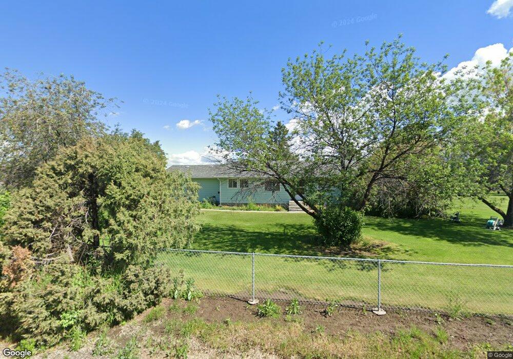
20 Cloninger Ln Bozeman, MT 59718
Estimated Value: $720,000 - $1,509,000
3
Beds
2
Baths
1,446
Sq Ft
$716/Sq Ft
Est. Value
About This Home
This home is located at 20 Cloninger Ln, Bozeman, MT 59718 and is currently estimated at $1,035,824, approximately $716 per square foot. 20 Cloninger Ln is a home located in Gallatin County with nearby schools including Whittier School, Chief Joseph Middle School, and Gallatin High School.
Ownership History
Date
Name
Owned For
Owner Type
Purchase Details
Closed on
May 18, 2016
Sold by
Block M Llc
Bought by
The Peter M Lee Living Trust
Current Estimated Value
Home Financials for this Owner
Home Financials are based on the most recent Mortgage that was taken out on this home.
Original Mortgage
$922,500
Outstanding Balance
$717,426
Interest Rate
2.97%
Mortgage Type
Adjustable Rate Mortgage/ARM
Estimated Equity
$318,398
Create a Home Valuation Report for This Property
The Home Valuation Report is an in-depth analysis detailing your home's value as well as a comparison with similar homes in the area
Home Values in the Area
Average Home Value in this Area
Purchase History
| Date | Buyer | Sale Price | Title Company |
|---|---|---|---|
| The Peter M Lee Living Trust | -- | Montana Title & Escrow |
Source: Public Records
Mortgage History
| Date | Status | Borrower | Loan Amount |
|---|---|---|---|
| Open | The Peter M Lee Living Trust | $922,500 |
Source: Public Records
Tax History Compared to Growth
Tax History
| Year | Tax Paid | Tax Assessment Tax Assessment Total Assessment is a certain percentage of the fair market value that is determined by local assessors to be the total taxable value of land and additions on the property. | Land | Improvement |
|---|---|---|---|---|
| 2025 | $2,953 | $776,000 | $0 | $0 |
| 2024 | $4,999 | $914,800 | $0 | $0 |
| 2023 | $5,243 | $914,800 | $0 | $0 |
| 2022 | $3,073 | $461,000 | $0 | $0 |
| 2021 | $3,417 | $461,000 | $0 | $0 |
| 2020 | $3,494 | $422,000 | $0 | $0 |
| 2019 | $3,424 | $422,000 | $0 | $0 |
| 2018 | $3,311 | $370,300 | $0 | $0 |
| 2017 | $2,880 | $370,300 | $0 | $0 |
| 2016 | $2,729 | $309,300 | $0 | $0 |
| 2015 | $2,713 | $309,300 | $0 | $0 |
| 2014 | $2,621 | $175,536 | $0 | $0 |
Source: Public Records
Map
Nearby Homes
- 29 Border Ln Unit 3
- TBD Harper Puckett
- TBD E Cameron Bridge Rd
- Lot 2A Bison Trail
- 61 Buckhorn Trail
- 339 Mountain Lion Trail
- 174 Valley Grove Dr
- 13 Liberty Dr
- 6 Liberty Dr
- 11 Liberty Dr
- 9 Liberty Dr
- 2426 Harper Puckett Rd
- 604 Morrison Ave Unit B
- 47 Poplar Dr
- 56 Poplar Dr
- TBD Riparian Way
- TBD Nelson
- TBD Nelson Unit Lot 22
- TBD Nelson Unit Lot 21
- Lot 10 Riparian Way