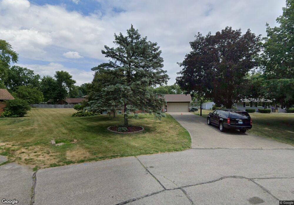
20 Coldbrook Dr Lafayette, IN 47909
Coldbrook NeighborhoodEstimated Value: $302,000 - $345,000
Studio
1
Bath
2,278
Sq Ft
$139/Sq Ft
Est. Value
About This Home
This home is located at 20 Coldbrook Dr, Lafayette, IN 47909 and is currently estimated at $317,493, approximately $139 per square foot. 20 Coldbrook Dr is a home located in Tippecanoe County with nearby schools including Woodland Elementary School, Wea Ridge Middle School, and McCutcheon High School.
Ownership History
Date
Name
Owned For
Owner Type
Purchase Details
Closed on
Oct 3, 2016
Sold by
Wachowski Kevin and Wachowski Shirley
Bought by
Nave Pamela J and Nave Courtney L
Current Estimated Value
Home Financials for this Owner
Home Financials are based on the most recent Mortgage that was taken out on this home.
Original Mortgage
$155,235
Outstanding Balance
$128,384
Interest Rate
4.5%
Mortgage Type
FHA
Estimated Equity
$189,109
Purchase Details
Closed on
Sep 26, 2006
Sold by
Wendt Ralph E and Wendt Patricia L
Bought by
Wachowski Kevin and Wachowski Shirley
Home Financials for this Owner
Home Financials are based on the most recent Mortgage that was taken out on this home.
Original Mortgage
$117,000
Interest Rate
6.58%
Mortgage Type
Unknown
Create a Home Valuation Report for This Property
The Home Valuation Report is an in-depth analysis detailing your home's value as well as a comparison with similar homes in the area
Home Values in the Area
Average Home Value in this Area
Purchase History
| Date | Buyer | Sale Price | Title Company |
|---|---|---|---|
| Nave Pamela J | -- | -- | |
| Wachowski Kevin | -- | None Available |
Source: Public Records
Mortgage History
| Date | Status | Borrower | Loan Amount |
|---|---|---|---|
| Open | Nave Pamela J | $155,235 | |
| Previous Owner | Wachowski Kevin | $117,000 |
Source: Public Records
Tax History
| Year | Tax Paid | Tax Assessment Tax Assessment Total Assessment is a certain percentage of the fair market value that is determined by local assessors to be the total taxable value of land and additions on the property. | Land | Improvement |
|---|---|---|---|---|
| 2024 | $2,335 | $232,000 | $38,700 | $193,300 |
| 2023 | $2,290 | $226,200 | $38,700 | $187,500 |
| 2022 | $1,703 | $166,900 | $28,000 | $138,900 |
| 2021 | $1,625 | $159,000 | $28,000 | $131,000 |
| 2020 | $1,542 | $149,200 | $28,000 | $121,200 |
| 2019 | $1,516 | $145,700 | $28,000 | $117,700 |
| 2018 | $1,414 | $140,200 | $28,000 | $112,200 |
| 2017 | $1,041 | $117,400 | $13,000 | $104,400 |
| 2016 | $985 | $115,100 | $13,000 | $102,100 |
| 2014 | $910 | $112,000 | $13,000 | $99,000 |
| 2013 | $889 | $108,700 | $13,000 | $95,700 |
Source: Public Records
Map
Nearby Homes
- 116 Coldbrook Dr
- 2408 Shasta Dr
- 2401 Southaven Blvd
- 3425 Plymouth Dr
- 2402 Beck Ln
- 3320 Norwegian Dr
- 1809 Shetland Place
- 3605 Braddock Dr
- 1920 Honeybrook Way
- 1903 Starks Cir
- 2303 Ottawa Dr
- 1401 Normandy Dr
- 2808 Meadow Dr
- 1303 Rochelle Dr
- 1405 Rochelle Dr
- 1301 Norma Jean Dr
- 1045 Southlea Dr
- 3303 Crosspoint Ct S
- 3401 S 11th St
- 1023 Brick N Wood Dr
Your Personal Tour Guide
Ask me questions while you tour the home.