20 Colonel Winstead Dr Brentwood, TN 37027
Estimated Value: $2,327,268 - $3,095,000
--
Bed
6
Baths
6,073
Sq Ft
$455/Sq Ft
Est. Value
About This Home
This home is located at 20 Colonel Winstead Dr, Brentwood, TN 37027 and is currently estimated at $2,764,067, approximately $455 per square foot. 20 Colonel Winstead Dr is a home located in Williamson County with nearby schools including Crockett Elementary School, Woodland Middle School, and Ravenwood High School.
Ownership History
Date
Name
Owned For
Owner Type
Purchase Details
Closed on
Apr 1, 2020
Sold by
Morris David A and Morris Carol R
Bought by
Morris David Ankrom and Morris Carol Jean
Current Estimated Value
Purchase Details
Closed on
Mar 21, 2002
Sold by
Southtrust Bank
Bought by
Morris David A and Morris Carol R
Purchase Details
Closed on
Oct 9, 2001
Sold by
Southtrust Mtg Corp
Bought by
Southtrust Bank
Purchase Details
Closed on
Nov 13, 1998
Sold by
The Governors Club Llc
Bought by
Mcvey Robin H and Mcvey Laura A
Home Financials for this Owner
Home Financials are based on the most recent Mortgage that was taken out on this home.
Original Mortgage
$190,000
Interest Rate
6.47%
Create a Home Valuation Report for This Property
The Home Valuation Report is an in-depth analysis detailing your home's value as well as a comparison with similar homes in the area
Home Values in the Area
Average Home Value in this Area
Purchase History
| Date | Buyer | Sale Price | Title Company |
|---|---|---|---|
| Morris David Ankrom | -- | None Available | |
| Morris David A | $1,025,000 | First Title & Escrow Co Inc | |
| Southtrust Bank | $1,000,000 | -- | |
| Mcvey Robin H | $200,000 | -- |
Source: Public Records
Mortgage History
| Date | Status | Borrower | Loan Amount |
|---|---|---|---|
| Previous Owner | Mcvey Robin H | $190,000 |
Source: Public Records
Tax History Compared to Growth
Tax History
| Year | Tax Paid | Tax Assessment Tax Assessment Total Assessment is a certain percentage of the fair market value that is determined by local assessors to be the total taxable value of land and additions on the property. | Land | Improvement |
|---|---|---|---|---|
| 2025 | $7,341 | $528,300 | $162,500 | $365,800 |
| 2024 | $7,341 | $338,275 | $81,250 | $257,025 |
| 2023 | $7,341 | $338,275 | $81,250 | $257,025 |
| 2022 | $7,341 | $338,275 | $81,250 | $257,025 |
| 2021 | $7,341 | $338,275 | $81,250 | $257,025 |
| 2020 | $7,760 | $300,750 | $62,500 | $238,250 |
| 2019 | $7,760 | $300,750 | $62,500 | $238,250 |
| 2018 | $7,549 | $300,750 | $62,500 | $238,250 |
| 2017 | $7,489 | $300,750 | $62,500 | $238,250 |
| 2016 | $7,399 | $300,750 | $62,500 | $238,250 |
| 2015 | -- | $274,250 | $56,250 | $218,000 |
| 2014 | $1,207 | $274,250 | $56,250 | $218,000 |
Source: Public Records
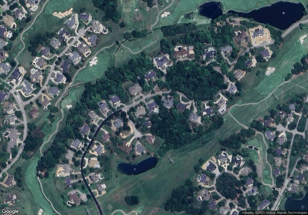
Map
Nearby Homes
- 3 Prestwick Place
- 1 Colonel Winstead Dr
- 5 Camel Back Ct
- 55 Governors Way
- 8 Carmel Ln
- 4 Ironwood Ln
- 1525 Boreal Ct
- 1627 Kaschlina Point
- 1534 Rosella Ct
- 14 Angel Trace
- 1 Wentworth Place
- 9516 Wicklow Rd
- 6 Portrush Ct
- 9524 Grand Haven Dr
- 1606 Kendale Ct
- 1 Tradition Ln
- 9532 Tarren Mill Ln
- 1636 Champagne Ct
- 1529 Richlawn Dr
- 9503 Wicklow Rd
- 18 Colonel Winstead Dr
- 22 Colonel Winstead Dr
- 4 Prestwick Place
- 19 Colonel Winstead Dr
- 16 Colonel Winstead Dr
- 6 Prestwick Place
- 15 Colonel Winstead Dr
- 21 Colonel Winstead Dr
- 24 Colonel Winstead Dr
- 14 Colonel Winstead Dr
- 5 Prestwick Place
- 13 Colonel Winstead Dr
- 43 Colonel Winstead Dr
- 23 Colonel Winstead Dr
- 12 Colonel Winstead Dr
- 28 Colonel Winstead Dr
- 25 Colonel Winstead Dr
- 10 Colonel Winstead Dr
- 30 Colonel Winstead Dr
- 27 Colonel Winstead Dr