Estimated Value: $255,971 - $298,000
2
Beds
2
Baths
1,116
Sq Ft
$243/Sq Ft
Est. Value
About This Home
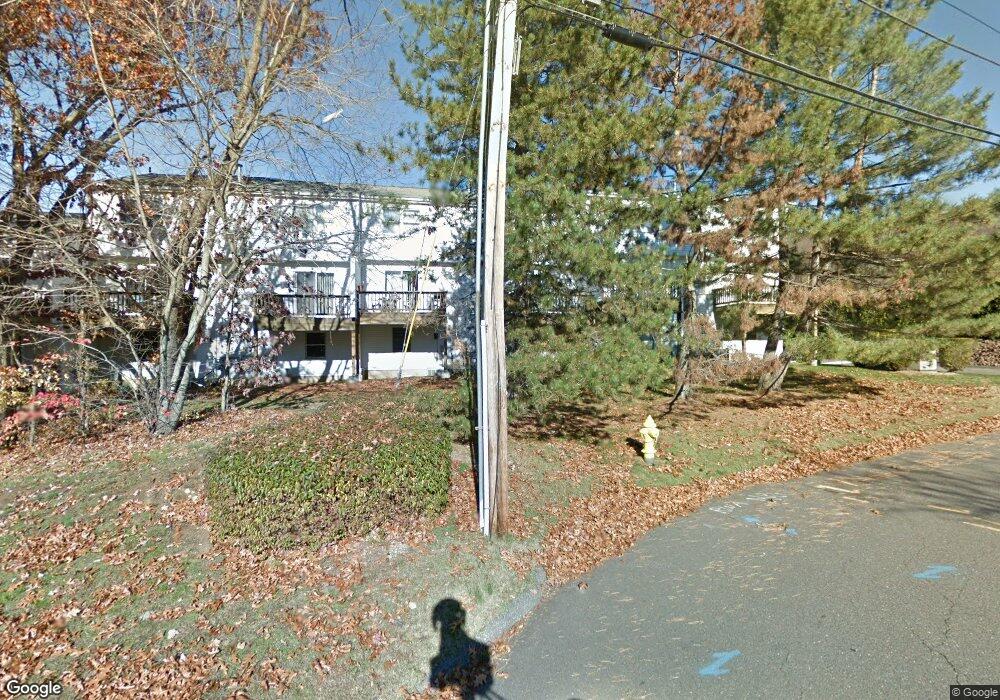
This home is located at 20 Commodore Commons Unit 20, Derby, CT 06418 and is currently estimated at $270,743, approximately $242 per square foot. 20 Commodore Commons Unit 20 is a home located in New Haven County with nearby schools including Derby Middle School, Derby High School, and St Mary & St Michael School.
Ownership History
Date
Name
Owned For
Owner Type
Purchase Details
Closed on
Dec 18, 2025
Sold by
Seyal Alia J
Bought by
Shoreline Prop Group Llc
Current Estimated Value
Purchase Details
Closed on
Jul 21, 2022
Sold by
Khan Ajab
Bought by
Seyal Alia
Purchase Details
Closed on
Oct 8, 2008
Sold by
Mccormack Matthew R
Bought by
Khan Ajab
Home Financials for this Owner
Home Financials are based on the most recent Mortgage that was taken out on this home.
Original Mortgage
$180,573
Interest Rate
6.43%
Mortgage Type
Purchase Money Mortgage
Purchase Details
Closed on
Nov 19, 2004
Sold by
Rafferty John P
Bought by
Mccormack Matthew R
Home Financials for this Owner
Home Financials are based on the most recent Mortgage that was taken out on this home.
Original Mortgage
$164,200
Interest Rate
5.8%
Mortgage Type
Purchase Money Mortgage
Create a Home Valuation Report for This Property
The Home Valuation Report is an in-depth analysis detailing your home's value as well as a comparison with similar homes in the area
Home Values in the Area
Average Home Value in this Area
Purchase History
| Date | Buyer | Sale Price | Title Company |
|---|---|---|---|
| Shoreline Prop Group Llc | -- | -- | |
| Seyal Alia | -- | None Available | |
| Khan Ajab | $182,000 | -- | |
| Mccormack Matthew R | $182,500 | -- |
Source: Public Records
Mortgage History
| Date | Status | Borrower | Loan Amount |
|---|---|---|---|
| Previous Owner | Mccormack Matthew R | $161,466 | |
| Previous Owner | Mccormack Matthew R | $180,573 | |
| Previous Owner | Mccormack Matthew R | $164,200 | |
| Previous Owner | Mccormack Matthew R | $85,500 |
Source: Public Records
Tax History
| Year | Tax Paid | Tax Assessment Tax Assessment Total Assessment is a certain percentage of the fair market value that is determined by local assessors to be the total taxable value of land and additions on the property. | Land | Improvement |
|---|---|---|---|---|
| 2025 | $4,025 | $93,170 | $0 | $93,170 |
| 2024 | $4,025 | $93,170 | $0 | $93,170 |
| 2023 | $3,596 | $93,170 | $0 | $93,170 |
| 2022 | $3,596 | $93,170 | $0 | $93,170 |
| 2021 | $3,596 | $93,170 | $0 | $93,170 |
| 2020 | $3,832 | $87,360 | $0 | $87,360 |
| 2019 | $3,658 | $87,360 | $0 | $87,360 |
| 2018 | $3,439 | $87,360 | $0 | $87,360 |
| 2017 | $3,439 | $87,360 | $0 | $87,360 |
| 2016 | $3,439 | $87,360 | $0 | $87,360 |
| 2015 | $3,763 | $105,280 | $0 | $105,280 |
| 2014 | $3,763 | $105,280 | $0 | $105,280 |
Source: Public Records
Map
Nearby Homes
- 112 River Rd
- 1 Windward Way Unit 1
- 22 Jenyfer Ct
- 126 Wells View Rd
- 83 Myrtle St Unit 83
- 0 Harvard Ave
- 71 Sentinel Hill Rd
- 223 River Rd
- 1 Hull St
- 27-29 Mclaughlin Terrace
- 11 Westminster Ave
- 28 Mclaughlin Terrace
- 1 Bank St
- 0 Wells Ave
- 63 Derby Ave
- 26 King St
- 29 Toas St
- 54 Milne Ave
- 16 Naugatuck Ave
- 39 Westminster Ave
- 20 Commodore Commons
- 22 Commodore Commons
- 22 Commodore Commons Unit 22
- 18 Commodore Commons
- 6 Commodore Commons
- 4 Commodore Commons
- 16 Commodore Commons
- 24 Commodore Commons
- 24 Commodore Commons
- 24 Commodore Commons Unit 24
- 8 Commodore Commons
- 2 Commodore Commons
- 26 Commodore Commons
- 26 Commodore Commons Unit 26
- 12 Commodore Commons
- 28 Commodore Commons
- 14 Commodore Commons
- 30 Commodore Commons
- 30 Commodore Commons Unit 30
Your Personal Tour Guide
Ask me questions while you tour the home.