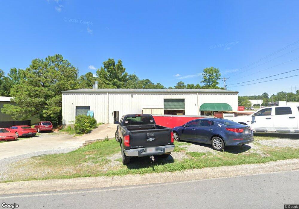
20 Confederate Ave Big Canoe, GA 30143
Estimated Value: $680,087
--
Bed
--
Bath
6,676
Sq Ft
$102/Sq Ft
Est. Value
About This Home
This home is located at 20 Confederate Ave, Big Canoe, GA 30143 and is currently estimated at $680,087, approximately $101 per square foot. 20 Confederate Ave is a home located in Pickens County with nearby schools including Harmony Elementary School, Pickens County Middle School, and Pickens County High School.
Ownership History
Date
Name
Owned For
Owner Type
Purchase Details
Closed on
Sep 30, 2020
Sold by
Hutcherson Kevin C
Bought by
Whitehead Investment Properties Llc
Current Estimated Value
Home Financials for this Owner
Home Financials are based on the most recent Mortgage that was taken out on this home.
Original Mortgage
$270,000
Interest Rate
2.9%
Mortgage Type
New Conventional
Purchase Details
Closed on
Nov 24, 2003
Sold by
Mountain City Development
Bought by
Norris Jerry R
Create a Home Valuation Report for This Property
The Home Valuation Report is an in-depth analysis detailing your home's value as well as a comparison with similar homes in the area
Home Values in the Area
Average Home Value in this Area
Purchase History
| Date | Buyer | Sale Price | Title Company |
|---|---|---|---|
| Whitehead Investment Properties Llc | $300,000 | -- | |
| Norris Jerry R | $75,000 | -- |
Source: Public Records
Mortgage History
| Date | Status | Borrower | Loan Amount |
|---|---|---|---|
| Closed | Whitehead Investment Properties Llc | $270,000 |
Source: Public Records
Tax History Compared to Growth
Tax History
| Year | Tax Paid | Tax Assessment Tax Assessment Total Assessment is a certain percentage of the fair market value that is determined by local assessors to be the total taxable value of land and additions on the property. | Land | Improvement |
|---|---|---|---|---|
| 2024 | $5,514 | $216,692 | $80,000 | $136,692 |
| 2023 | $4,570 | $175,815 | $80,000 | $95,815 |
| 2022 | $2,142 | $105,306 | $40,000 | $65,306 |
| 2021 | $2,295 | $105,306 | $40,000 | $65,306 |
| 2020 | $2,363 | $105,306 | $40,000 | $65,306 |
| 2019 | $2,218 | $96,624 | $40,000 | $56,624 |
Source: Public Records
Map
Nearby Homes
- 57 Mountain View Cir
- 324 Northside Dr
- 190 Northside Dr
- 251 Deerberry Dr
- 241 Deerberry Dr
- 200 Deerberry Dr Unit 32
- 190 Deerberry Dr
- 91 Pinnacle Way
- 143 Rolling Meadow Trace
- Aisle Plan at Rolling Meadows
- Elston Plan at Rolling Meadows
- Robie Plan at Rolling Meadows
- SUDBURY 24' TOWNHOME Plan at Rolling Meadows
- 10 Kane Dr
- 43 Rolling Meadow
- 43 Rolling Meadow Trace
- 33 Rolling Meadow
- 33 Rolling Meadow Trace
- 234 Arbor Hills Rd S
- 733 Gennett Dr
- 15 Mountain City Dr
- 40 Confederate Ave
- 858 Old Philadelphia Rd
- 10 Mountain City Dr
- 44 Mountain City Dr
- 61 Ralph Hicks Cir
- 50 Ralph Hicks Cir
- 75 Confederate Ave
- 888 Old Philadelphia Rd
- 740 Old Philadelphia Rd
- 33 Ralph Hicks Cir
- 62 Ralph Hicks Cir
- 111 Confederate Ave
- 18 Mckenzie Blvd
- 1101 Old Philadelphia Rd
- 85 Confederate Ave
- 48 Confederate Way
- 64 Confederate Way
- 49 Confederate Way
- 128 Philadelphia Ln Unit n/a