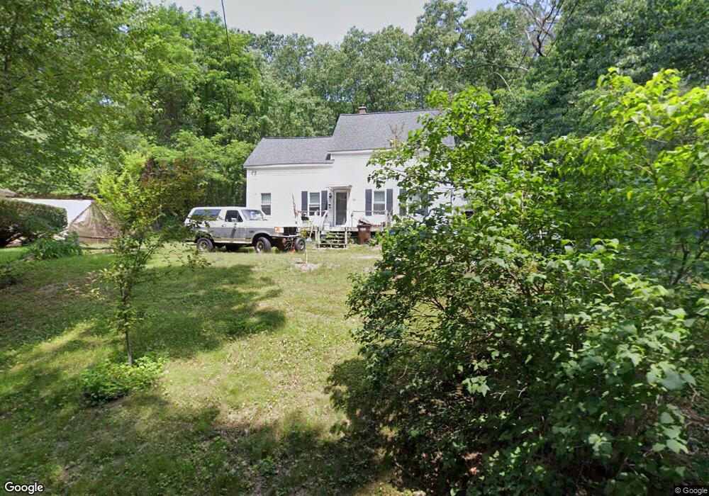
20 Courville Rd Auburn, MA 01501
Stoneville NeighborhoodEstimated Value: $287,000 - $439,000
3
Beds
1
Bath
1,241
Sq Ft
$290/Sq Ft
Est. Value
About This Home
This home is located at 20 Courville Rd, Auburn, MA 01501 and is currently estimated at $359,454, approximately $289 per square foot. 20 Courville Rd is a home located in Worcester County with nearby schools including Auburn Senior High School and Shrewsbury Montessori School - Auburn Campus.
Ownership History
Date
Name
Owned For
Owner Type
Purchase Details
Closed on
Jan 15, 2020
Sold by
Stmartin Glen G
Bought by
Perritt Michel
Current Estimated Value
Purchase Details
Closed on
May 16, 1988
Sold by
Stmartin Grace
Bought by
Stmartin Faith R
Create a Home Valuation Report for This Property
The Home Valuation Report is an in-depth analysis detailing your home's value as well as a comparison with similar homes in the area
Home Values in the Area
Average Home Value in this Area
Purchase History
| Date | Buyer | Sale Price | Title Company |
|---|---|---|---|
| Perritt Michel | $125,000 | None Available | |
| Stmartin Faith R | $90,000 | -- |
Source: Public Records
Mortgage History
| Date | Status | Borrower | Loan Amount |
|---|---|---|---|
| Previous Owner | Stmartin Faith R | $14,460 | |
| Previous Owner | Stmartin Faith R | $101,571 | |
| Previous Owner | Stmartin Faith R | $85,000 | |
| Closed | Stmartin Faith R | $0 |
Source: Public Records
Tax History Compared to Growth
Tax History
| Year | Tax Paid | Tax Assessment Tax Assessment Total Assessment is a certain percentage of the fair market value that is determined by local assessors to be the total taxable value of land and additions on the property. | Land | Improvement |
|---|---|---|---|---|
| 2025 | $34 | $237,000 | $131,500 | $105,500 |
| 2024 | $3,173 | $212,500 | $128,200 | $84,300 |
| 2023 | $3,120 | $196,500 | $116,700 | $79,800 |
| 2022 | $3,097 | $184,100 | $116,700 | $67,400 |
| 2021 | $2,837 | $156,400 | $104,300 | $52,100 |
| 2020 | $2,762 | $153,600 | $104,300 | $49,300 |
| 2019 | $3,185 | $172,900 | $103,200 | $69,700 |
| 2018 | $3,002 | $162,800 | $97,200 | $65,600 |
| 2017 | $2,817 | $153,600 | $89,700 | $63,900 |
| 2016 | $2,799 | $154,700 | $91,800 | $62,900 |
| 2015 | $2,950 | $170,900 | $91,800 | $79,100 |
| 2014 | $2,886 | $166,900 | $88,000 | $78,900 |
Source: Public Records
Map
Nearby Homes
- 27 Havana Rd
- 2 Keen St
- 315 Stafford St
- 176 Boyce St
- 177 Boyce St
- 177 Oxford St N
- 5 Commonwealth Ave
- 1-9 Helens Way
- 25 Vinal St Unit 26
- 25 Vinal St Unit 29
- 25 Vinal St Unit 30
- 53 James St
- 19-20 Williams St
- 40 Ludlow St
- 8 Shirley St
- 4 S Edlin St
- 35 Genessee St Unit I
- 24 Ludlow St
- 34 Rockland Rd
- 170 Stafford St
- 22 Courville Rd
- 68 Burnett St Unit 2
- 68 Burnett St Unit 1
- 35 Courville Rd
- 56 Burnett St
- 72 Burnett St
- 54 Burnett St
- 65 Burnett St
- 59 Burnett St
- 57 Burnett St
- 32 Lamper Hill Rd
- 32 Lamper Hill Rd
- 55 Burnett St
- 75 Burnett St
- 69 Burnett St
- 25 Horseshoe Dr
- 86 Burnett St
- 16 Horseshoe Dr
- 34 Burnett St
- 2 Horseshoe Dr