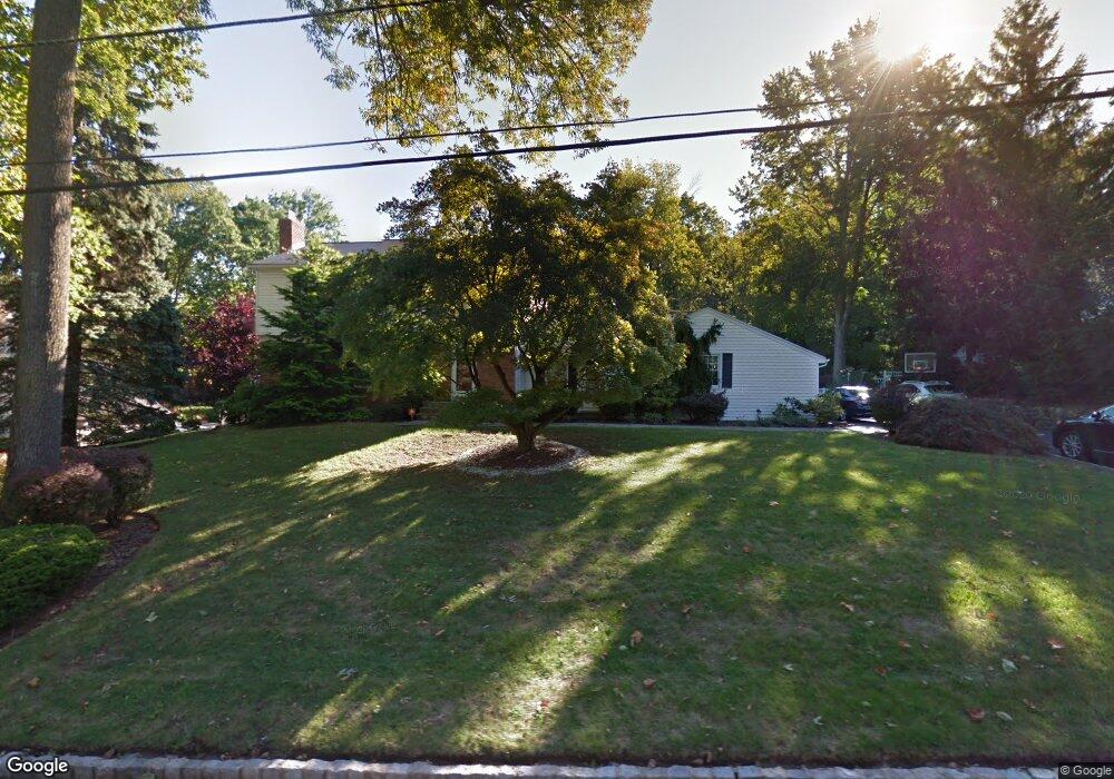
20 Darby Ct New Providence, NJ 07974
Estimated Value: $1,232,128 - $1,946,000
--
Bed
--
Bath
2,878
Sq Ft
$533/Sq Ft
Est. Value
About This Home
This home is located at 20 Darby Ct, New Providence, NJ 07974 and is currently estimated at $1,534,782, approximately $533 per square foot. 20 Darby Ct is a home located in Union County with nearby schools including New Providence High School, The Academy of Our Lady of Peace, and Oak Knoll School of the Holy Child.
Ownership History
Date
Name
Owned For
Owner Type
Purchase Details
Closed on
Jul 20, 2005
Sold by
Deroberts Kenneth
Bought by
Nesto Salvatore J and Nesto Lisa
Current Estimated Value
Home Financials for this Owner
Home Financials are based on the most recent Mortgage that was taken out on this home.
Original Mortgage
$359,600
Outstanding Balance
$189,531
Interest Rate
5.81%
Mortgage Type
New Conventional
Estimated Equity
$1,345,251
Create a Home Valuation Report for This Property
The Home Valuation Report is an in-depth analysis detailing your home's value as well as a comparison with similar homes in the area
Home Values in the Area
Average Home Value in this Area
Purchase History
| Date | Buyer | Sale Price | Title Company |
|---|---|---|---|
| Nesto Salvatore J | $1,100,000 | -- |
Source: Public Records
Mortgage History
| Date | Status | Borrower | Loan Amount |
|---|---|---|---|
| Open | Nesto Salvatore J | $359,600 |
Source: Public Records
Tax History Compared to Growth
Tax History
| Year | Tax Paid | Tax Assessment Tax Assessment Total Assessment is a certain percentage of the fair market value that is determined by local assessors to be the total taxable value of land and additions on the property. | Land | Improvement |
|---|---|---|---|---|
| 2025 | $23,208 | $449,600 | $167,800 | $281,800 |
| 2024 | $22,511 | $449,600 | $167,800 | $281,800 |
| 2023 | $22,511 | $449,600 | $167,800 | $281,800 |
| 2022 | $22,201 | $449,600 | $167,800 | $281,800 |
| 2021 | $22,039 | $449,600 | $167,800 | $281,800 |
| 2020 | $22,030 | $449,600 | $167,800 | $281,800 |
| 2019 | $21,896 | $449,600 | $167,800 | $281,800 |
| 2018 | $21,783 | $449,600 | $167,800 | $281,800 |
| 2017 | $21,428 | $449,600 | $167,800 | $281,800 |
| 2016 | $21,127 | $449,600 | $167,800 | $281,800 |
| 2015 | $20,834 | $449,600 | $167,800 | $281,800 |
| 2014 | $20,520 | $449,600 | $167,800 | $281,800 |
Source: Public Records
Map
Nearby Homes
- 25 Murray Hill Square
- 145 Colchester Rd
- 282 South St
- 52 Greenwood Rd
- 294 Livingston Ave
- 491 Central Ave Unit 4
- 491 Central Ave Unit 1
- 491 Central Ave Unit 2
- 491 Central Ave Unit 3
- 16 Riverbend Ct
- 32 Marion Ave
- 34 Grant Ave
- 183 Countryside Dr
- 140 Countryside Dr
- 132 Fairview Ave
- 34 Meadowview Ln
- 41 Meadowview Ln
- 16 Terrace Rd
- 1364 Springfield Ave
- 50 Livingston Ave