20 Davedon Dr East Falmouth, MA 02536
Hatchville NeighborhoodEstimated Value: $796,246 - $922,000
3
Beds
2
Baths
2,358
Sq Ft
$365/Sq Ft
Est. Value
About This Home
This home is located at 20 Davedon Dr, East Falmouth, MA 02536 and is currently estimated at $861,562, approximately $365 per square foot. 20 Davedon Dr is a home located in Barnstable County with nearby schools including Mullen-Hall School, Morse Pond School, and Lawrence School.
Ownership History
Date
Name
Owned For
Owner Type
Purchase Details
Closed on
Dec 31, 2018
Sold by
Belanger Dennis and Belanger Mary L
Bought by
20 Davedon Drive Rt and Belanger
Current Estimated Value
Purchase Details
Closed on
May 11, 1993
Sold by
Duffany Michael A and Duffany Christy A
Bought by
Belanger Dennis and Belanger Mary L
Create a Home Valuation Report for This Property
The Home Valuation Report is an in-depth analysis detailing your home's value as well as a comparison with similar homes in the area
Home Values in the Area
Average Home Value in this Area
Purchase History
| Date | Buyer | Sale Price | Title Company |
|---|---|---|---|
| 20 Davedon Drive Rt | -- | -- | |
| 20 Davedon Drive Rt | -- | -- | |
| Belanger Dennis | $10,000 | -- | |
| Belanger Dennis | $10,000 | -- |
Source: Public Records
Mortgage History
| Date | Status | Borrower | Loan Amount |
|---|---|---|---|
| Previous Owner | Belanger Dennis | $155,000 | |
| Previous Owner | Belanger Dennis | $105,000 |
Source: Public Records
Tax History Compared to Growth
Tax History
| Year | Tax Paid | Tax Assessment Tax Assessment Total Assessment is a certain percentage of the fair market value that is determined by local assessors to be the total taxable value of land and additions on the property. | Land | Improvement |
|---|---|---|---|---|
| 2025 | $4,135 | $704,400 | $175,900 | $528,500 |
| 2024 | $4,070 | $648,100 | $166,600 | $481,500 |
| 2023 | $3,960 | $572,200 | $166,600 | $405,600 |
| 2022 | $3,643 | $452,500 | $125,600 | $326,900 |
| 2021 | $3,446 | $405,400 | $120,100 | $285,300 |
| 2020 | $3,389 | $394,500 | $109,200 | $285,300 |
| 2019 | $3,314 | $387,100 | $109,200 | $277,900 |
| 2018 | $3,201 | $372,200 | $109,200 | $263,000 |
| 2017 | $3,096 | $362,900 | $109,200 | $253,700 |
| 2016 | $3,028 | $361,800 | $109,200 | $252,600 |
| 2015 | $2,963 | $361,800 | $109,200 | $252,600 |
| 2014 | $2,953 | $362,300 | $115,000 | $247,300 |
Source: Public Records
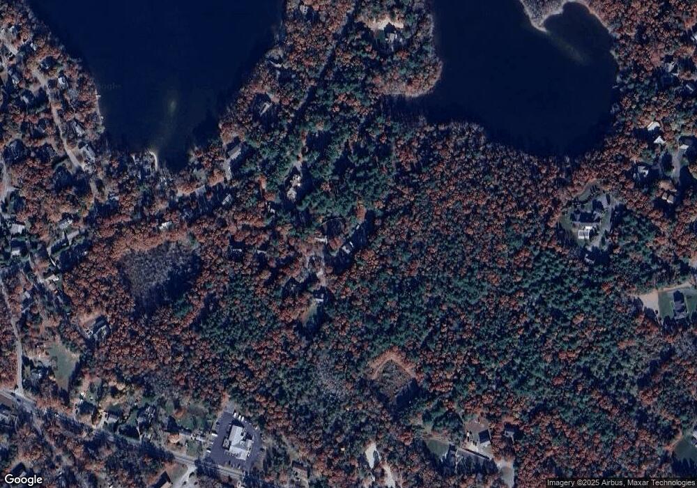
Map
Nearby Homes
- 273 Sandwich Rd
- 149 Brick Kiln Rd
- 32 Jamie Ln
- 12 Beach Plum Path
- 17 Pinewood Dr
- 25 Percival Rd
- 68 Deepwood Dr
- 100 Tanglewood Dr
- 70 Meredith Dr
- 12 Rock Hollow Dr
- 131 Heritage Cir
- 63 Pine Valley Dr Unit 63 aka 30A
- 66 Braxton Rd
- 49 Broken Bow Ln
- 4 Josiah Path
- 7 Josiah Path
- 18 Josiah Path
- 20 Josiah Path