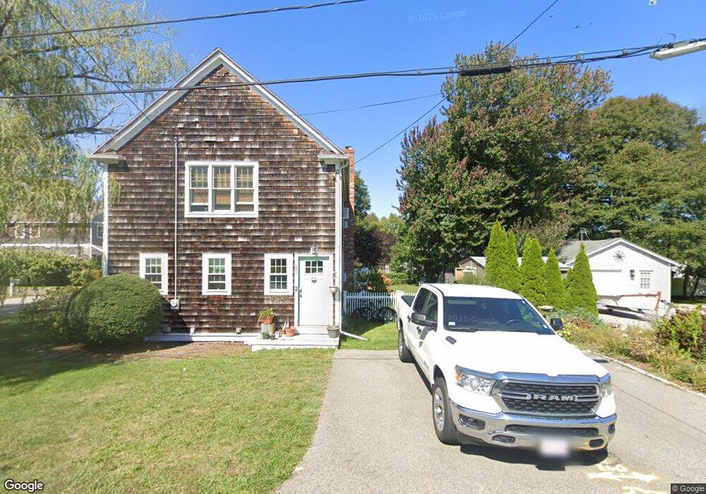
20 Dayton Rd Scituate, MA 02066
Estimated Value: $788,000 - $946,000
3
Beds
2
Baths
1,688
Sq Ft
$518/Sq Ft
Est. Value
About This Home
This home is located at 20 Dayton Rd, Scituate, MA 02066 and is currently estimated at $873,791, approximately $517 per square foot. 20 Dayton Rd is a home located in Plymouth County with nearby schools including Wampatuck Elementary School, Lester J. Gates Middle School, and Scituate High School.
Ownership History
Date
Name
Owned For
Owner Type
Purchase Details
Closed on
May 26, 2011
Sold by
Freyer Klaus
Bought by
Warner Michael E and Warner Ashley S
Current Estimated Value
Home Financials for this Owner
Home Financials are based on the most recent Mortgage that was taken out on this home.
Original Mortgage
$342,000
Outstanding Balance
$239,169
Interest Rate
4.94%
Mortgage Type
Purchase Money Mortgage
Estimated Equity
$634,622
Purchase Details
Closed on
May 9, 2006
Sold by
20 Dayton Road Rt
Bought by
Freyer Klaus
Purchase Details
Closed on
Mar 10, 2005
Sold by
Keefe Sarah H
Bought by
Twenty Dayton Road Rt
Create a Home Valuation Report for This Property
The Home Valuation Report is an in-depth analysis detailing your home's value as well as a comparison with similar homes in the area
Home Values in the Area
Average Home Value in this Area
Purchase History
| Date | Buyer | Sale Price | Title Company |
|---|---|---|---|
| Warner Michael E | $360,000 | -- | |
| Freyer Klaus | $418,500 | -- | |
| Twenty Dayton Road Rt | -- | -- |
Source: Public Records
Mortgage History
| Date | Status | Borrower | Loan Amount |
|---|---|---|---|
| Open | Warner Michael E | $342,000 |
Source: Public Records
Tax History Compared to Growth
Tax History
| Year | Tax Paid | Tax Assessment Tax Assessment Total Assessment is a certain percentage of the fair market value that is determined by local assessors to be the total taxable value of land and additions on the property. | Land | Improvement |
|---|---|---|---|---|
| 2025 | $7,148 | $715,500 | $391,500 | $324,000 |
| 2024 | $6,980 | $673,700 | $355,900 | $317,800 |
| 2023 | $6,543 | $618,200 | $323,600 | $294,600 |
| 2022 | $6,543 | $518,500 | $268,300 | $250,200 |
| 2021 | $6,166 | $462,600 | $242,700 | $219,900 |
| 2020 | $5,979 | $442,900 | $233,400 | $209,500 |
| 2019 | $5,896 | $429,100 | $228,800 | $200,300 |
| 2018 | $5,994 | $429,700 | $245,300 | $184,400 |
| 2017 | $5,809 | $412,300 | $235,100 | $177,200 |
| 2016 | $5,540 | $391,800 | $214,600 | $177,200 |
| 2015 | $4,999 | $381,600 | $204,400 | $177,200 |
Source: Public Records
Map
Nearby Homes