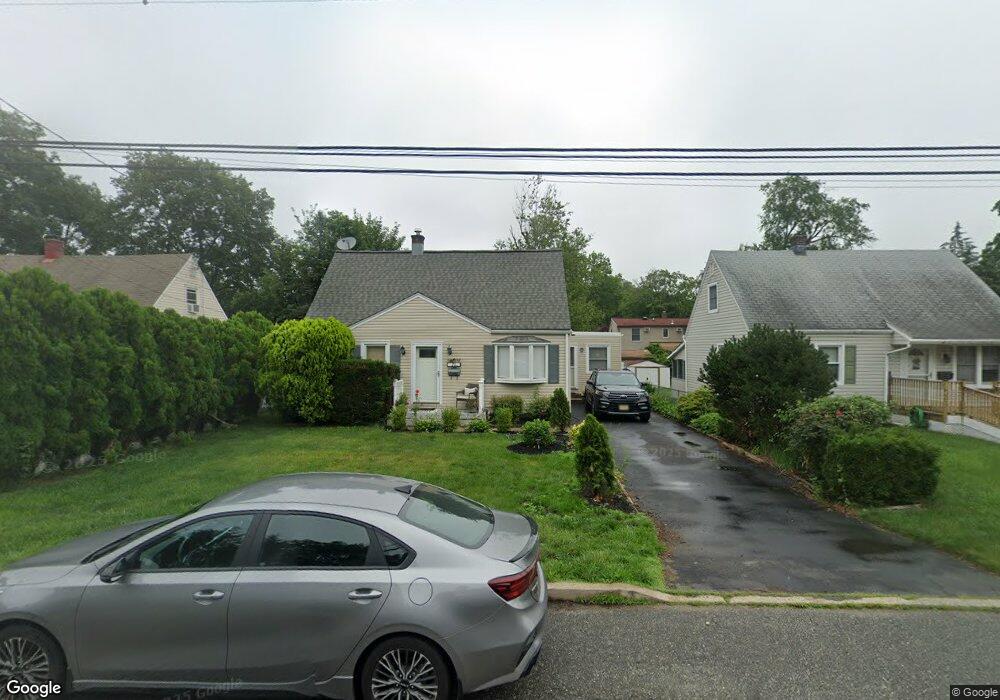
20 Decker Rd Haskell, NJ 07420
Estimated Value: $497,000 - $546,000
Studio
--
Bath
1,336
Sq Ft
$388/Sq Ft
Est. Value
About This Home
This home is located at 20 Decker Rd, Haskell, NJ 07420 and is currently estimated at $517,868, approximately $387 per square foot. 20 Decker Rd is a home located in Passaic County with nearby schools including Lakeland Reg High School and St Marys School.
Ownership History
Date
Name
Owned For
Owner Type
Purchase Details
Closed on
Jun 13, 2007
Sold by
Payne Brian K and Payne Lisa M
Bought by
Mostow Joshua and Mostow Cheryl Margulies
Current Estimated Value
Home Financials for this Owner
Home Financials are based on the most recent Mortgage that was taken out on this home.
Original Mortgage
$324,000
Outstanding Balance
$197,716
Interest Rate
6.14%
Mortgage Type
New Conventional
Estimated Equity
$320,152
Purchase Details
Closed on
Sep 20, 2001
Sold by
Tonuzi Bashkim
Bought by
Payne Brian and Payne Lisa
Home Financials for this Owner
Home Financials are based on the most recent Mortgage that was taken out on this home.
Original Mortgage
$158,400
Interest Rate
6.77%
Create a Home Valuation Report for This Property
The Home Valuation Report is an in-depth analysis detailing your home's value as well as a comparison with similar homes in the area
Home Values in the Area
Average Home Value in this Area
Purchase History
| Date | Buyer | Sale Price | Title Company |
|---|---|---|---|
| Mostow Joshua | $360,000 | -- | |
| Payne Brian | $198,000 | -- |
Source: Public Records
Mortgage History
| Date | Status | Borrower | Loan Amount |
|---|---|---|---|
| Open | Mostow Joshua | $324,000 | |
| Previous Owner | Payne Brian | $158,400 |
Source: Public Records
Tax History
| Year | Tax Paid | Tax Assessment Tax Assessment Total Assessment is a certain percentage of the fair market value that is determined by local assessors to be the total taxable value of land and additions on the property. | Land | Improvement |
|---|---|---|---|---|
| 2025 | $9,614 | $222,900 | $99,600 | $123,300 |
| 2024 | $9,422 | $222,900 | $99,600 | $123,300 |
Source: Public Records
Map
Nearby Homes
- 19 Dogwood Ln Unit 19
- 19 Dogwood Ln Unit U9F
- 23 Dogwood Ln
- 36 Elston Ct
- 43 Elston Ct Unit 301
- 38 Wanaque Ave
- 86 Burnside Place
- 5 Storms Place
- 17 Locust St
- 29 Evergreen Ave
- 2 Roger Ave
- 24 Roseland Ave
- 1216 Ringwood Ave
- 9116 Warrens Way Unit 116
- 9116 Warrens Way
- 19 Skyland Ave
- 19 Elm St
- 10123 Warrens Way
- 10323 Warrens Way
- 8415 Warrens Way
Your Personal Tour Guide
Ask me questions while you tour the home.