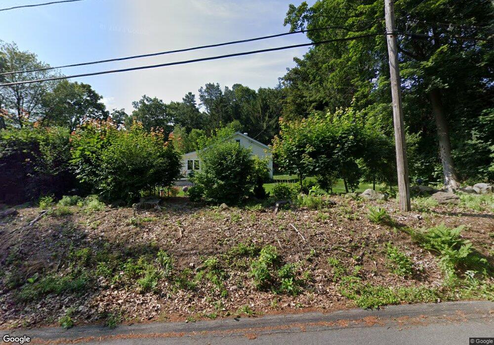
20 Delmor Ave Wilbraham, MA 01095
Estimated Value: $367,915 - $417,000
2
Beds
1
Bath
1,414
Sq Ft
$281/Sq Ft
Est. Value
About This Home
This home is located at 20 Delmor Ave, Wilbraham, MA 01095 and is currently estimated at $397,229, approximately $280 per square foot. 20 Delmor Ave is a home located in Hampden County with nearby schools including Minnechaug Regional High School, Springfield International Charter School, and Wilbraham & Monson Academy.
Ownership History
Date
Name
Owned For
Owner Type
Purchase Details
Closed on
May 1, 1996
Sold by
Apergis Michael and Apergis Jana M
Bought by
Andros Gregory N and Andros Karena
Current Estimated Value
Home Financials for this Owner
Home Financials are based on the most recent Mortgage that was taken out on this home.
Original Mortgage
$117,740
Interest Rate
7.82%
Mortgage Type
Purchase Money Mortgage
Purchase Details
Closed on
May 21, 1992
Sold by
Marino Dominic and Donohue Christopher
Bought by
Apergis Michael and Apergis Jana M
Purchase Details
Closed on
Mar 3, 1992
Sold by
Brady Edward D
Bought by
Marino Dominic and Donohue Chris
Create a Home Valuation Report for This Property
The Home Valuation Report is an in-depth analysis detailing your home's value as well as a comparison with similar homes in the area
Home Values in the Area
Average Home Value in this Area
Purchase History
| Date | Buyer | Sale Price | Title Company |
|---|---|---|---|
| Andros Gregory N | $118,000 | -- | |
| Apergis Michael | $120,500 | -- | |
| Marino Dominic | $62,500 | -- |
Source: Public Records
Mortgage History
| Date | Status | Borrower | Loan Amount |
|---|---|---|---|
| Open | Marino Dominic | $25,000 | |
| Open | Marino Dominic | $116,120 | |
| Closed | Marino Dominic | $117,740 |
Source: Public Records
Tax History
| Year | Tax Paid | Tax Assessment Tax Assessment Total Assessment is a certain percentage of the fair market value that is determined by local assessors to be the total taxable value of land and additions on the property. | Land | Improvement |
|---|---|---|---|---|
| 2025 | $6,210 | $347,300 | $103,400 | $243,900 |
| 2024 | $5,918 | $319,900 | $103,400 | $216,500 |
| 2023 | $5,444 | $303,800 | $103,400 | $200,400 |
| 2022 | $5,444 | $265,700 | $103,400 | $162,300 |
| 2021 | $5,049 | $219,900 | $110,200 | $109,700 |
| 2020 | $4,921 | $219,900 | $110,200 | $109,700 |
| 2019 | $4,794 | $219,900 | $110,200 | $109,700 |
| 2018 | $4,598 | $203,100 | $110,200 | $92,900 |
| 2017 | $4,468 | $203,100 | $110,200 | $92,900 |
| 2016 | $4,564 | $211,300 | $122,200 | $89,100 |
| 2015 | $4,412 | $211,300 | $122,200 | $89,100 |
Source: Public Records
Map
Nearby Homes
- 8 High Pine Cir
- 104 High Pine Cir
- 172 Main St
- 1 Aspen Dr
- 20 Old Orchard Rd
- 35 Lake Dr
- 8 Patriot Ridge Ln
- 4 Hillcrest Dr
- 46 Washington Rd
- 474 Mountain Rd
- 474-480 Mountain Rd
- 6 Teak Terrace Unit 24
- 16 Maple St
- 6 Hilltop Park
- 36 Maple St
- 3 Mohawk St
- 103 Sandalwood Dr Unit site 00
- 57 Sandalwood Dr Unit site 61
- 592 Stony Hill Rd
- 84 Sandalwood Dr Unit site 00
Your Personal Tour Guide
Ask me questions while you tour the home.