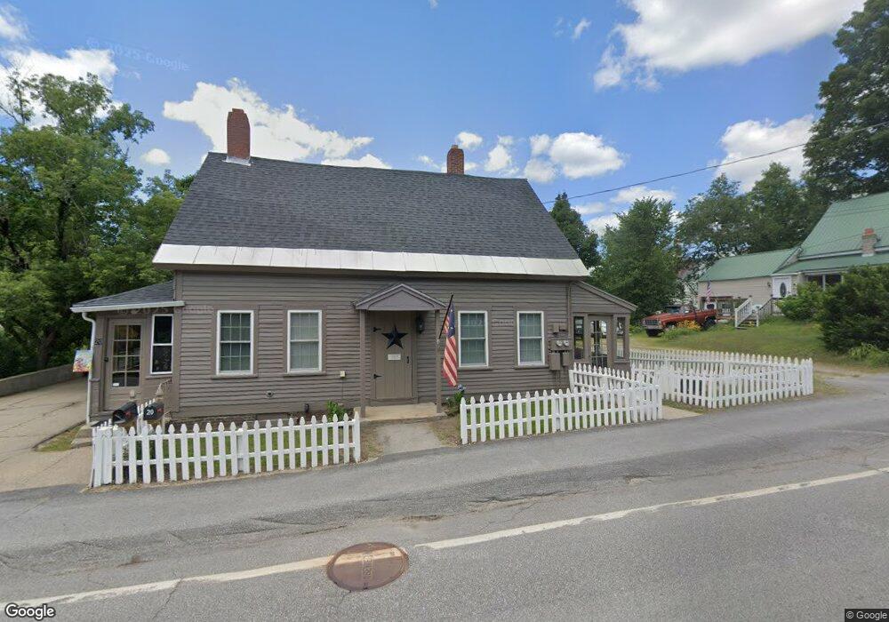
20 Depot St Ashland, NH 03217
Estimated Value: $218,000 - $330,617
4
Beds
2
Baths
1,688
Sq Ft
$155/Sq Ft
Est. Value
About This Home
This home is located at 20 Depot St, Ashland, NH 03217 and is currently estimated at $261,654, approximately $155 per square foot. 20 Depot St is a home located in Grafton County with nearby schools including Ashland Elementary School and Plymouth Regional High School.
Ownership History
Date
Name
Owned For
Owner Type
Purchase Details
Closed on
Apr 4, 2012
Sold by
Nault Diane T and Zirpolo Jon W
Bought by
Nault Diane T
Current Estimated Value
Home Financials for this Owner
Home Financials are based on the most recent Mortgage that was taken out on this home.
Original Mortgage
$95,000
Outstanding Balance
$65,741
Interest Rate
3.95%
Mortgage Type
Unknown
Estimated Equity
$195,913
Purchase Details
Closed on
Oct 22, 2003
Sold by
Bank Of New York
Bought by
Nault Diane T
Home Financials for this Owner
Home Financials are based on the most recent Mortgage that was taken out on this home.
Original Mortgage
$83,000
Interest Rate
6.15%
Mortgage Type
Purchase Money Mortgage
Create a Home Valuation Report for This Property
The Home Valuation Report is an in-depth analysis detailing your home's value as well as a comparison with similar homes in the area
Home Values in the Area
Average Home Value in this Area
Purchase History
| Date | Buyer | Sale Price | Title Company |
|---|---|---|---|
| Nault Diane T | -- | -- | |
| Nault Diane T | $86,000 | -- |
Source: Public Records
Mortgage History
| Date | Status | Borrower | Loan Amount |
|---|---|---|---|
| Open | Nault Diane T | $95,000 | |
| Previous Owner | Nault Diane T | $83,000 |
Source: Public Records
Tax History Compared to Growth
Tax History
| Year | Tax Paid | Tax Assessment Tax Assessment Total Assessment is a certain percentage of the fair market value that is determined by local assessors to be the total taxable value of land and additions on the property. | Land | Improvement |
|---|---|---|---|---|
| 2024 | $4,106 | $223,300 | $100,700 | $122,600 |
| 2023 | $3,863 | $223,300 | $100,700 | $122,600 |
| 2022 | $3,481 | $124,900 | $44,600 | $80,300 |
| 2021 | $3,431 | $124,900 | $44,600 | $80,300 |
| 2020 | $2,124 | $124,900 | $44,600 | $80,300 |
| 2019 | $1,973 | $124,900 | $44,600 | $80,300 |
| 2018 | $1,145 | $124,900 | $44,600 | $80,300 |
| 2016 | $3,564 | $146,250 | $40,550 | $105,700 |
| 2015 | $3,652 | $146,250 | $40,550 | $105,700 |
| 2013 | $3,674 | $146,250 | $40,550 | $105,700 |
Source: Public Records
Map
Nearby Homes
- 125 Thompson St
- 1406 Winona Rd
- 121 Riverside Dr
- 12 Peaked Hill Rd
- 1555 River Rd
- 283 River St
- 00 Hicks Hill Rd
- 11 Sebec Rd
- 14 Overlook Rd
- 7 Hollows Rd
- 3A N Ashland Rd
- 206 High Country Way Unit (aka Unit 100)
- 265 High Country Way
- 73 Maple Ridge Rd
- 775 Winona Rd
- 15-B Wildflower Ln
- 64 Fairway Dr
- 96 Fairway Dr Unit 1
- 373 New Hampshire Route 175
- 4 Hilltop Dr