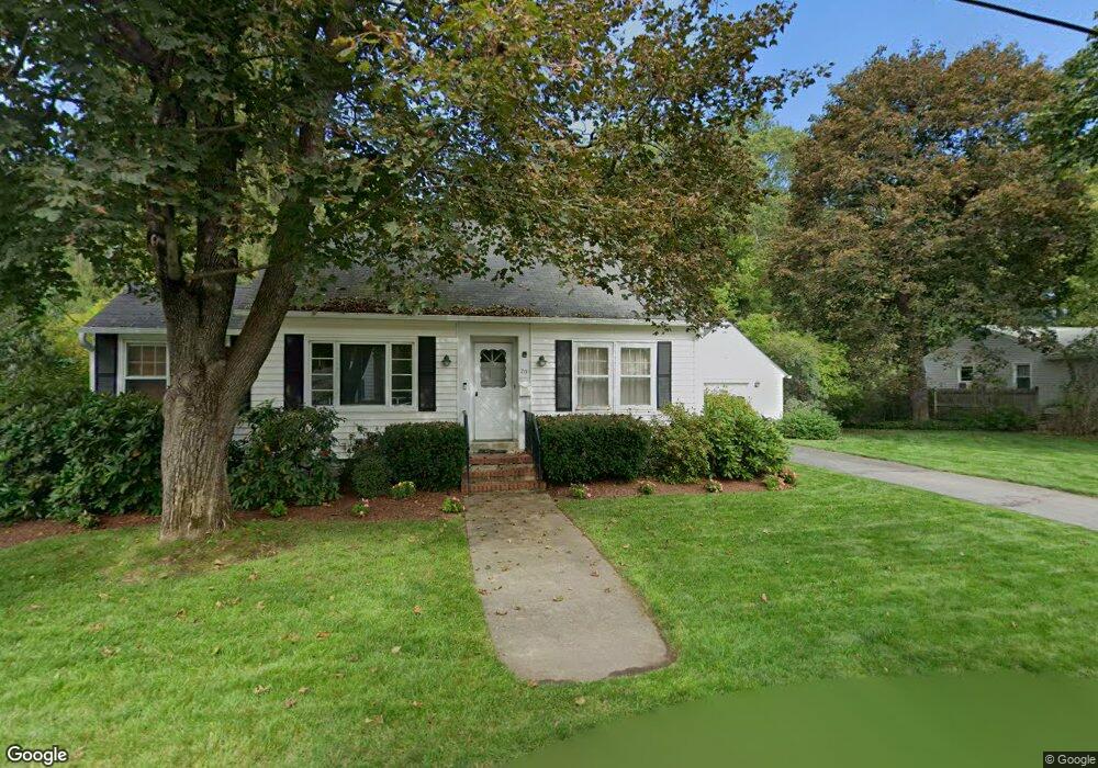
20 Dewey St Clinton, MA 01510
Estimated Value: $450,000 - $484,000
3
Beds
2
Baths
1,435
Sq Ft
$325/Sq Ft
Est. Value
About This Home
This home is located at 20 Dewey St, Clinton, MA 01510 and is currently estimated at $466,332, approximately $324 per square foot. 20 Dewey St is a home located in Worcester County with nearby schools including Clinton Elementary School, Clinton Senior High School, and Clinton Middle School.
Ownership History
Date
Name
Owned For
Owner Type
Purchase Details
Closed on
Nov 8, 1995
Sold by
Delouchry Nikki
Bought by
Gorka Donna
Current Estimated Value
Home Financials for this Owner
Home Financials are based on the most recent Mortgage that was taken out on this home.
Original Mortgage
$98,000
Interest Rate
7.62%
Mortgage Type
Purchase Money Mortgage
Create a Home Valuation Report for This Property
The Home Valuation Report is an in-depth analysis detailing your home's value as well as a comparison with similar homes in the area
Home Values in the Area
Average Home Value in this Area
Purchase History
| Date | Buyer | Sale Price | Title Company |
|---|---|---|---|
| Gorka Donna | $122,500 | -- |
Source: Public Records
Mortgage History
| Date | Status | Borrower | Loan Amount |
|---|---|---|---|
| Open | Gorka Donna | $94,000 | |
| Closed | Gorka Donna | $40,000 | |
| Closed | Gorka Donna | $98,000 |
Source: Public Records
Tax History Compared to Growth
Tax History
| Year | Tax Paid | Tax Assessment Tax Assessment Total Assessment is a certain percentage of the fair market value that is determined by local assessors to be the total taxable value of land and additions on the property. | Land | Improvement |
|---|---|---|---|---|
| 2025 | $4,909 | $369,100 | $110,000 | $259,100 |
| 2024 | $4,540 | $345,500 | $110,000 | $235,500 |
| 2023 | $4,165 | $311,500 | $100,000 | $211,500 |
| 2022 | $4,151 | $278,400 | $90,900 | $187,500 |
| 2021 | $3,932 | $246,700 | $86,600 | $160,100 |
| 2020 | $3,715 | $239,800 | $86,600 | $153,200 |
| 2019 | $3,780 | $237,300 | $84,100 | $153,200 |
| 2018 | $3,865 | $227,600 | $84,100 | $143,500 |
| 2017 | $3,622 | $205,000 | $84,100 | $120,900 |
| 2016 | $3,414 | $197,700 | $84,100 | $113,600 |
| 2015 | $3,160 | $189,700 | $81,600 | $108,100 |
| 2014 | $3,064 | $189,700 | $81,600 | $108,100 |
Source: Public Records
Map
Nearby Homes
- 22 Forest Ave
- 1 Grady St
- 51 Rigby St
- 861 Main St
- 0 Parker Rd
- 201-203 Stone St
- 201 Stone St Unit 203
- 54 S Meadow Rd
- 55 Sterling St Unit 306
- 55 Sterling St Unit 314
- 55 Sterling St Unit 212
- 57 Clark St
- 459 High St
- 23 Ash St
- 1116 George Hill Rd
- 216 Walnut St
- 92 Mill St
- 136 Mill St
- 23 Bennett Ln
- 85 Prescott St