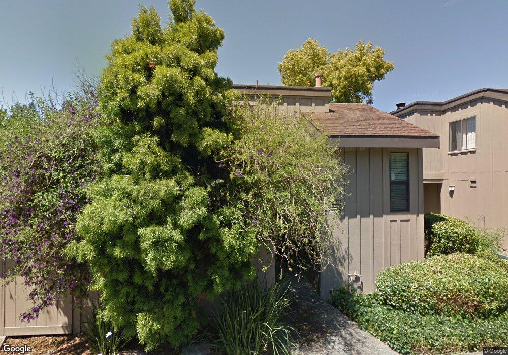
20 Dunlin Ct San Rafael, CA 94903
Marinwood NeighborhoodEstimated Value: $700,000 - $905,000
2
Beds
2
Baths
1,328
Sq Ft
$597/Sq Ft
Est. Value
About This Home
This home is located at 20 Dunlin Ct, San Rafael, CA 94903 and is currently estimated at $792,866, approximately $597 per square foot. 20 Dunlin Ct is a home located in Marin County with nearby schools including Mary E. Silveira Elementary School, Miller Creek Middle School, and Terra Linda High School.
Ownership History
Date
Name
Owned For
Owner Type
Purchase Details
Closed on
Oct 15, 2002
Sold by
Rhodes Karen A
Bought by
Clayland Walt and Rhodes Karen A
Current Estimated Value
Home Financials for this Owner
Home Financials are based on the most recent Mortgage that was taken out on this home.
Original Mortgage
$100,000
Outstanding Balance
$15,221
Interest Rate
6.09%
Mortgage Type
Credit Line Revolving
Estimated Equity
$777,645
Create a Home Valuation Report for This Property
The Home Valuation Report is an in-depth analysis detailing your home's value as well as a comparison with similar homes in the area
Home Values in the Area
Average Home Value in this Area
Purchase History
| Date | Buyer | Sale Price | Title Company |
|---|---|---|---|
| Clayland Walt | -- | California Land Title Co Mar |
Source: Public Records
Mortgage History
| Date | Status | Borrower | Loan Amount |
|---|---|---|---|
| Open | Clayland Walt | $100,000 |
Source: Public Records
Tax History Compared to Growth
Tax History
| Year | Tax Paid | Tax Assessment Tax Assessment Total Assessment is a certain percentage of the fair market value that is determined by local assessors to be the total taxable value of land and additions on the property. | Land | Improvement |
|---|---|---|---|---|
| 2025 | $7,373 | $359,911 | $125,969 | $233,942 |
| 2024 | $7,373 | $352,854 | $123,499 | $229,355 |
| 2023 | $7,206 | $345,937 | $121,078 | $224,859 |
| 2022 | $6,883 | $339,155 | $118,704 | $220,451 |
| 2021 | $6,562 | $332,504 | $116,376 | $216,128 |
| 2020 | $6,467 | $329,097 | $115,184 | $213,913 |
| 2019 | $6,179 | $322,646 | $112,926 | $209,720 |
| 2018 | $6,061 | $316,321 | $110,712 | $205,609 |
| 2017 | $5,698 | $310,120 | $108,542 | $201,578 |
| 2016 | $5,558 | $304,040 | $106,414 | $197,626 |
| 2015 | $5,374 | $299,474 | $104,816 | $194,658 |
| 2014 | $5,032 | $293,609 | $102,763 | $190,846 |
Source: Public Records
Map
Nearby Homes
- 141 Roundtree Blvd
- 64 Blackstone Dr
- 2594 Las Gallinas Ave
- 92 Grande Paseo
- 420 Quietwood Dr
- 475 Pinewood Dr
- 284 Blackstone Dr
- 2718 Las Gallinas Ave
- 23 Erin Dr
- 27 Erin Dr
- 19 Unionstone Dr
- 111 Erin Dr
- 39 Erin Dr
- 2901 Las Gallinas Ave
- 118 Erin Dr
- 110 Erin Dr
- 562 Kernberry Dr
- 506 Cedar Hill Dr
- 467 Cedar Hill Dr
- 100 Deer Valley Rd Unit GC