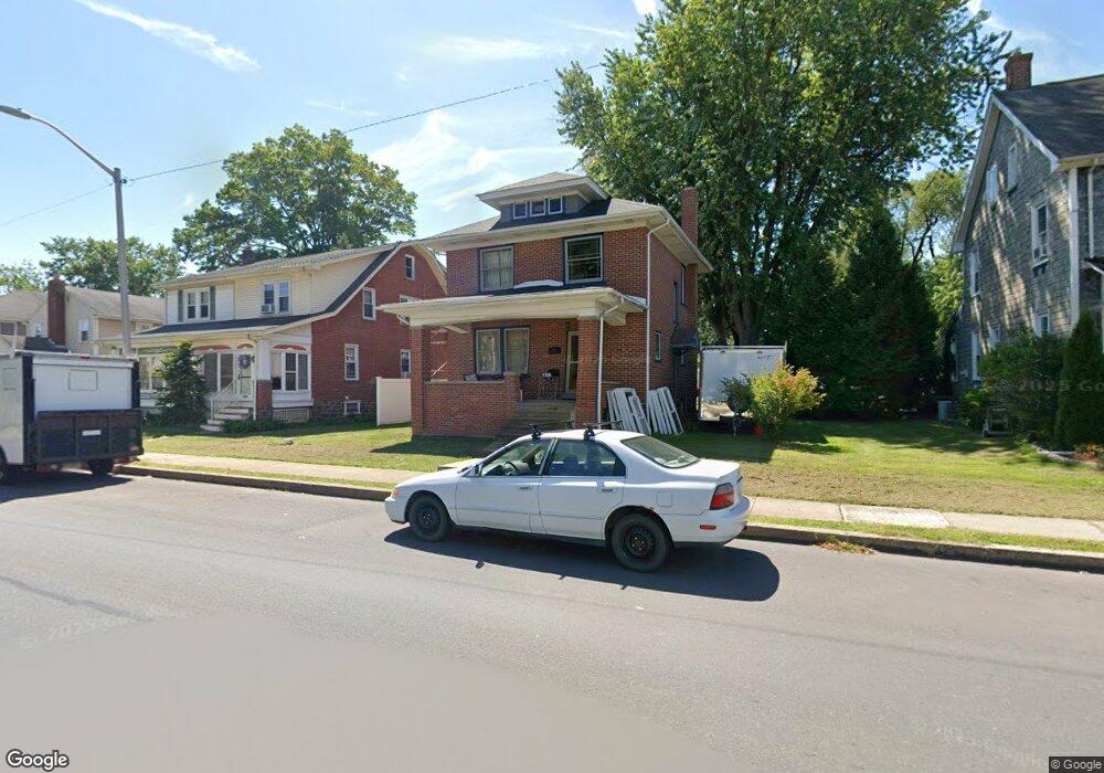
20 E 7th St Lansdale, PA 19446
Estimated Value: $404,250
3
Beds
1
Bath
1,248
Sq Ft
$324/Sq Ft
Est. Value
About This Home
This home is located at 20 E 7th St, Lansdale, PA 19446 and is currently estimated at $404,250, approximately $323 per square foot. 20 E 7th St is a home located in Montgomery County with nearby schools including Knapp Elementary School, Penndale Middle School, and North Penn Senior High School.
Ownership History
Date
Name
Owned For
Owner Type
Purchase Details
Closed on
May 10, 2005
Sold by
Central Penn Prop Ser
Bought by
Burman Scott
Current Estimated Value
Home Financials for this Owner
Home Financials are based on the most recent Mortgage that was taken out on this home.
Original Mortgage
$46,600
Interest Rate
5.79%
Mortgage Type
Stand Alone Second
Purchase Details
Closed on
Jan 24, 2005
Sold by
Not Provided
Bought by
Not Provided
Purchase Details
Closed on
Jun 9, 2000
Sold by
Fagan James J and Fagan Marie L
Bought by
Marino Joseph A and Marino Brenda L
Create a Home Valuation Report for This Property
The Home Valuation Report is an in-depth analysis detailing your home's value as well as a comparison with similar homes in the area
Home Values in the Area
Average Home Value in this Area
Purchase History
| Date | Buyer | Sale Price | Title Company |
|---|---|---|---|
| Burman Scott | $233,000 | -- | |
| Not Provided | $170,000 | -- | |
| Marino Joseph A | $117,750 | -- |
Source: Public Records
Mortgage History
| Date | Status | Borrower | Loan Amount |
|---|---|---|---|
| Closed | Burman Scott | $46,600 | |
| Open | Burman Scott | $186,400 |
Source: Public Records
Tax History Compared to Growth
Tax History
| Year | Tax Paid | Tax Assessment Tax Assessment Total Assessment is a certain percentage of the fair market value that is determined by local assessors to be the total taxable value of land and additions on the property. | Land | Improvement |
|---|---|---|---|---|
| 2025 | -- | $110,100 | $43,100 | $67,000 |
| 2024 | -- | $110,100 | $43,100 | $67,000 |
| 2023 | $0 | $110,100 | $43,100 | $67,000 |
| 2022 | $0 | $110,100 | $43,100 | $67,000 |
| 2021 | $4,024 | $110,100 | $43,100 | $67,000 |
| 2020 | $3,902 | $110,100 | $43,100 | $67,000 |
| 2019 | $3,838 | $110,100 | $43,100 | $67,000 |
| 2018 | $1,030 | $110,100 | $43,100 | $67,000 |
| 2017 | $3,582 | $110,100 | $43,100 | $67,000 |
| 2016 | $3,539 | $110,100 | $43,100 | $67,000 |
| 2015 | $3,284 | $110,100 | $43,100 | $67,000 |
| 2014 | $3,284 | $110,100 | $43,100 | $67,000 |
Source: Public Records
Map
Nearby Homes
- 529 N Chestnut St
- 39 E 5th St
- 129 W Fifth St
- 124 E 5th St
- 130 E 5th St
- 200 E 5th St
- 135 Third
- 302 W 8th St Unit 21
- 816 Kenilworth Ave
- 235 E 2nd St
- 2 N Line St
- 111 Country Ln
- 323 Edgewood Ave
- 405 Derstine Ave
- 159 Penn St
- 128 S Broad St
- 100 Penn St
- 446 E Main St
- 833 W 4th St
- Warwick Plan at Sterling Walk