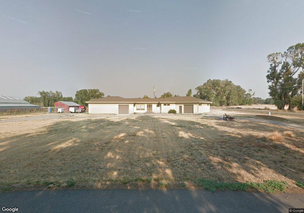
20 Emrie Ln Bozeman, MT 59718
Four Corners NeighborhoodEstimated Value: $260,000
Studio
1
Bath
3,515
Sq Ft
$74/Sq Ft
Est. Value
About This Home
This home is located at 20 Emrie Ln, Bozeman, MT 59718 and is currently priced at $260,000, approximately $73 per square foot. 20 Emrie Ln is a home located in Gallatin County with nearby schools including Monforton Primary School, Monforton Elementary School, and Monforton Junior High School.
Ownership History
Date
Name
Owned For
Owner Type
Purchase Details
Closed on
Jun 21, 2023
Sold by
Adkins Michael and Adkins Magdalen
Bought by
Adkins Family Llc
Current Estimated Value
Purchase Details
Closed on
Sep 9, 2022
Sold by
Little Shell Tribal Enterprises Llc
Bought by
Adkins Michael and Adkins Magdalen
Purchase Details
Closed on
Sep 30, 2021
Sold by
Westfall Michael and Westfall Joni M
Bought by
Little Shell Tribal Enteprrises Llc
Create a Home Valuation Report for This Property
The Home Valuation Report is an in-depth analysis detailing your home's value as well as a comparison with similar homes in the area
Home Values in the Area
Average Home Value in this Area
Purchase History
| Date | Buyer | Sale Price | Title Company |
|---|---|---|---|
| Adkins Family Llc | -- | None Listed On Document | |
| Adkins Michael | -- | -- | |
| Little Shell Tribal Enteprrises Llc | -- | Montana Title And Escrow |
Source: Public Records
Tax History
| Year | Tax Paid | Tax Assessment Tax Assessment Total Assessment is a certain percentage of the fair market value that is determined by local assessors to be the total taxable value of land and additions on the property. | Land | Improvement |
|---|---|---|---|---|
| 2025 | $6,005 | $873,500 | $0 | $0 |
| 2024 | $5,008 | $671,500 | $0 | $0 |
| 2023 | $4,821 | $671,500 | $0 | $0 |
| 2022 | $4,474 | $466,400 | $0 | $0 |
| 2021 | $2,507 | $326,026 | $0 | $0 |
| 2020 | $2,252 | $289,447 | $0 | $0 |
| 2019 | $2,224 | $289,447 | $0 | $0 |
| 2018 | $2,045 | $241,209 | $0 | $0 |
| 2017 | $1,986 | $241,209 | $0 | $0 |
| 2016 | $1,942 | $232,417 | $0 | $0 |
| 2015 | $1,891 | $232,417 | $0 | $0 |
| 2014 | $1,896 | $140,106 | $0 | $0 |
Source: Public Records
Map
Nearby Homes
- 31 Lady Bug Ln
- TBD Dovetail Ln
- TBD Elk Ln
- 15 Chinook Trail
- 25 Big Chief Trail
- Lot 1 Bridge District
- 254 Pattee Trail
- 41 Lion Peak Dr
- 196 Arrow Peak Ct
- 17 Blazer Trail
- 91 W Hyalite Peak Dr
- 22 Battle Peak Ct
- 18 Arrow Peak Ct
- 3400 Magenta Rd
- 8404 Huffine Ln
- 604 Talon Way
- 171 Brave Heart Loop
- 24 Red Rock Ct
- 161 Noble Peak Dr
- 34 Caboose Ct Unit C
- 1021 Cobb Hill Rd
- 62 Emrie Ln
- Lot 1 Emrie Ln
- Lot 5A Emrie Ln
- 900 Cobb Hill Rd
- Lot 4 Emrie Ln
- 897 Cobb Hill Rd
- 1111 Cobb Hill Rd
- 858 Cobb Hill Rd
- Lot 3 Emrie Ln
- 1060 Cobb Hill Rd
- 1211 Cobb Hill Rd
- 135 Emrie Ln
- 1150 Cobb Hill Rd
- 807 Cobb Hill Rd
- 815 Cobb Hill Rd
- 1120 Beatty Rd
- 1226 Cobb Hill Rd
- 1169 Beatty Rd
- 1148 Beatty Rd