20 Evergreen Dr Wolcott, CT 06716
Estimated Value: $450,000 - $544,000
5
Beds
7
Baths
1,608
Sq Ft
$302/Sq Ft
Est. Value
About This Home
This home is located at 20 Evergreen Dr, Wolcott, CT 06716 and is currently estimated at $486,114, approximately $302 per square foot. 20 Evergreen Dr is a home located in New Haven County with nearby schools including Tyrrell Middle School and Wolcott High School.
Ownership History
Date
Name
Owned For
Owner Type
Purchase Details
Closed on
Aug 18, 2010
Sold by
Maloney Jane C and Maloney John S
Bought by
Diaz Argeo
Current Estimated Value
Home Financials for this Owner
Home Financials are based on the most recent Mortgage that was taken out on this home.
Original Mortgage
$262,271
Outstanding Balance
$171,889
Interest Rate
4.37%
Mortgage Type
FHA
Estimated Equity
$314,225
Create a Home Valuation Report for This Property
The Home Valuation Report is an in-depth analysis detailing your home's value as well as a comparison with similar homes in the area
Home Values in the Area
Average Home Value in this Area
Purchase History
| Date | Buyer | Sale Price | Title Company |
|---|---|---|---|
| Diaz Argeo | $270,000 | -- |
Source: Public Records
Mortgage History
| Date | Status | Borrower | Loan Amount |
|---|---|---|---|
| Open | Diaz Argeo | $262,271 | |
| Previous Owner | Diaz Argeo | $218,100 |
Source: Public Records
Tax History Compared to Growth
Tax History
| Year | Tax Paid | Tax Assessment Tax Assessment Total Assessment is a certain percentage of the fair market value that is determined by local assessors to be the total taxable value of land and additions on the property. | Land | Improvement |
|---|---|---|---|---|
| 2025 | $7,704 | $214,410 | $52,720 | $161,690 |
| 2024 | $7,091 | $214,410 | $52,720 | $161,690 |
| 2023 | $6,833 | $214,410 | $52,720 | $161,690 |
| 2022 | $6,604 | $214,410 | $52,720 | $161,690 |
| 2021 | $6,245 | $188,450 | $49,930 | $138,520 |
| 2020 | $6,245 | $188,450 | $49,930 | $138,520 |
| 2019 | $6,245 | $188,450 | $49,930 | $138,520 |
| 2018 | $6,068 | $188,450 | $49,930 | $138,520 |
| 2017 | $5,893 | $188,450 | $49,930 | $138,520 |
| 2016 | $6,072 | $210,020 | $52,970 | $157,050 |
| 2015 | $5,897 | $210,020 | $52,970 | $157,050 |
| 2014 | $5,706 | $210,020 | $52,970 | $157,050 |
Source: Public Records
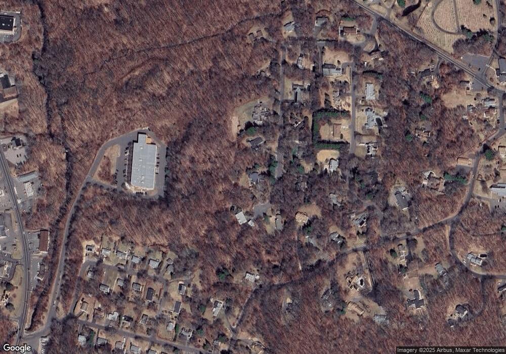
Map
Nearby Homes
- 160 Brooks Hill Rd
- 4 Park Ave Unit 1
- 866 Wolcott Rd
- 0 Coe Rd
- 8 Ranslow Dr
- 143 Bound Line Rd
- 7 Overvale Rd
- 13 Margaret Terrace
- 72 White Oak Ln
- 20 Upson Rd
- 210 Munson Rd Unit 2-G
- 210 Munson Rd Unit 2-F
- 210 Munson Rd Unit 2-E
- 210 Munson Rd Unit 2-D
- 210 Munson Rd Unit 2-C
- 210 Munson Rd Unit 2-B
- 210 Munson Rd Unit 2-A
- 210 Munson Rd Unit 2-H
- 210 Munson Rd Unit 3A
- 210 Munson Rd Unit 3C