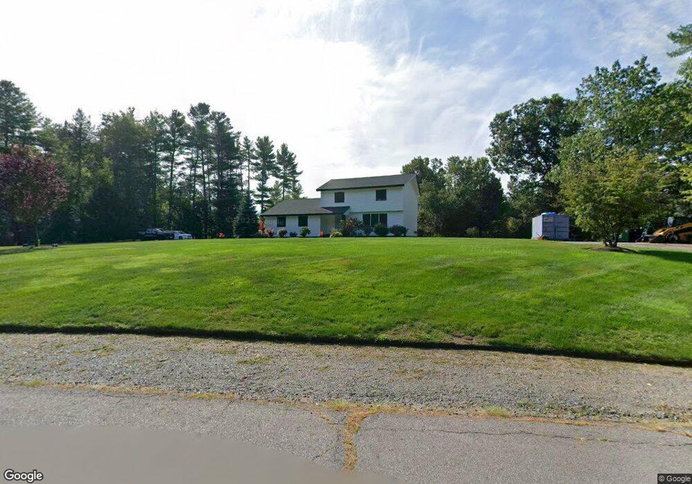
20 Flint Meadow Dr Brookline, NH 03033
Estimated Value: $551,000 - $665,000
4
Beds
3
Baths
2,397
Sq Ft
$255/Sq Ft
Est. Value
About This Home
This home is located at 20 Flint Meadow Dr, Brookline, NH 03033 and is currently estimated at $611,409, approximately $255 per square foot. 20 Flint Meadow Dr is a home with nearby schools including Richard Maghakian Memorial School, Captain Samuel Douglass Academy, and Hollis-Brookline Middle School.
Ownership History
Date
Name
Owned For
Owner Type
Purchase Details
Closed on
Aug 30, 2004
Sold by
Rynne Joseph M and Rynne Tomiko
Bought by
Monbleau Thomas W and Monbleau Lisa M
Current Estimated Value
Home Financials for this Owner
Home Financials are based on the most recent Mortgage that was taken out on this home.
Original Mortgage
$235,000
Outstanding Balance
$117,511
Interest Rate
6.02%
Mortgage Type
Purchase Money Mortgage
Estimated Equity
$493,898
Create a Home Valuation Report for This Property
The Home Valuation Report is an in-depth analysis detailing your home's value as well as a comparison with similar homes in the area
Home Values in the Area
Average Home Value in this Area
Purchase History
| Date | Buyer | Sale Price | Title Company |
|---|---|---|---|
| Monbleau Thomas W | $295,000 | -- |
Source: Public Records
Mortgage History
| Date | Status | Borrower | Loan Amount |
|---|---|---|---|
| Open | Monbleau Thomas W | $235,000 |
Source: Public Records
Tax History Compared to Growth
Tax History
| Year | Tax Paid | Tax Assessment Tax Assessment Total Assessment is a certain percentage of the fair market value that is determined by local assessors to be the total taxable value of land and additions on the property. | Land | Improvement |
|---|---|---|---|---|
| 2024 | $11,947 | $528,400 | $230,500 | $297,900 |
| 2023 | $10,986 | $528,700 | $230,500 | $298,200 |
| 2022 | $9,876 | $332,300 | $155,800 | $176,500 |
| 2021 | $9,497 | $332,300 | $155,800 | $176,500 |
| 2020 | $9,238 | $332,300 | $155,800 | $176,500 |
| 2019 | $9,926 | $332,300 | $155,800 | $176,500 |
| 2018 | $9,823 | $332,300 | $155,800 | $176,500 |
| 2017 | $8,406 | $255,200 | $108,500 | $146,700 |
| 2016 | $8,309 | $255,200 | $108,500 | $146,700 |
| 2015 | $7,924 | $255,200 | $108,500 | $146,700 |
| 2014 | $8,383 | $255,200 | $108,500 | $146,700 |
| 2013 | $8,072 | $255,200 | $108,500 | $146,700 |
Source: Public Records
Map
Nearby Homes
- 6 Flint Meadow Dr
- 47 Pepperell Rd
- 18 Sawtelle Rd
- 42 Pepperell Rd
- 46 Oak Hill Rd
- 4 Bohanon Bridge Rd
- 84 Irene Dr
- 55 Oak Hill Rd
- 52 W Hollis Rd
- 22 Austin Ln
- 23 Austin Ln
- 22 Hobart Hill Rd
- 25 Rocky Pond Rd
- 143 Worcester Rd
- 6 High Oaks Path
- 179 Brookline St
- 12 Franklins Way
- 5 Carons Way
- 9 Marjorie Dr
- 91 Deacon Ln
- 31 Flint Meadow Dr
- 18 Flint Meadow Dr
- 4 Flint Meadow Dr
- 16 Flint Meadow Dr
- 8 Flint Meadow Dr
- 3 Flint Meadow Dr
- 29 Flint Meadow Dr
- 12 Flint Meadow Dr
- 23 Flint Meadow Dr
- 1 Flint Meadow Dr
- 27 Flint Meadow Dr
- 2 Flint Meadow Dr
- 14 Flint Meadow Dr
- 25 Flint Meadow Dr
- 5 Flint Meadow Dr Unit K94-5
- 5 Flint Meadow Dr
- 10 Flint Meadow Dr
- 11 Proctor Hill Rd
- 21 Flint Meadow Dr
- 7 Flint Meadow Dr Unit 94