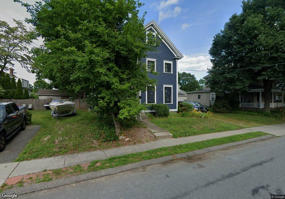
20 Forest Ave Natick, MA 01760
Estimated Value: $766,000 - $868,000
3
Beds
2
Baths
2,048
Sq Ft
$392/Sq Ft
Est. Value
About This Home
This home is located at 20 Forest Ave, Natick, MA 01760 and is currently estimated at $803,224, approximately $392 per square foot. 20 Forest Ave is a home located in Middlesex County with nearby schools including Natick High School, Johnson Elementary School, and J F Kennedy Middle School.
Ownership History
Date
Name
Owned For
Owner Type
Purchase Details
Closed on
Dec 15, 2006
Sold by
Whitten 4Th Robert T and Whitten Katherine H
Bought by
Hart Kara S and Hart Robert G
Current Estimated Value
Home Financials for this Owner
Home Financials are based on the most recent Mortgage that was taken out on this home.
Original Mortgage
$283,500
Outstanding Balance
$166,010
Interest Rate
6.31%
Mortgage Type
Purchase Money Mortgage
Estimated Equity
$637,214
Purchase Details
Closed on
Sep 21, 2001
Sold by
Steacie Jeffrey A and Steacie Charlotte A
Bought by
Whitten Robert and Whitten Katherine H
Home Financials for this Owner
Home Financials are based on the most recent Mortgage that was taken out on this home.
Original Mortgage
$200,000
Interest Rate
6.98%
Mortgage Type
Purchase Money Mortgage
Create a Home Valuation Report for This Property
The Home Valuation Report is an in-depth analysis detailing your home's value as well as a comparison with similar homes in the area
Home Values in the Area
Average Home Value in this Area
Purchase History
| Date | Buyer | Sale Price | Title Company |
|---|---|---|---|
| Hart Kara S | $315,000 | -- | |
| Whitten Robert | $270,000 | -- |
Source: Public Records
Mortgage History
| Date | Status | Borrower | Loan Amount |
|---|---|---|---|
| Open | Hart Kara S | $283,500 | |
| Previous Owner | Whitten Robert | $200,000 |
Source: Public Records
Tax History
| Year | Tax Paid | Tax Assessment Tax Assessment Total Assessment is a certain percentage of the fair market value that is determined by local assessors to be the total taxable value of land and additions on the property. | Land | Improvement |
|---|---|---|---|---|
| 2025 | $8,071 | $674,800 | $436,800 | $238,000 |
| 2024 | $7,777 | $634,300 | $412,500 | $221,800 |
| 2023 | $7,882 | $623,600 | $388,300 | $235,300 |
| 2022 | $7,596 | $569,400 | $354,300 | $215,100 |
| 2021 | $7,303 | $536,600 | $334,900 | $201,700 |
| 2020 | $6,906 | $507,400 | $305,700 | $201,700 |
| 2019 | $6,449 | $507,400 | $305,700 | $201,700 |
| 2018 | $6,341 | $485,900 | $291,200 | $194,700 |
| 2017 | $5,612 | $416,000 | $257,200 | $158,800 |
| 2016 | $4,968 | $366,100 | $242,400 | $123,700 |
| 2015 | $4,928 | $356,600 | $242,400 | $114,200 |
Source: Public Records
Map
Nearby Homes
- 25 Forest Ave
- 5 Reynolds Ave Unit 2
- 6 Floral Avenue Extension
- 7 High St
- 63 Pond St
- 12 Floral Ave
- 16 West St
- 89 W Central St
- 62 Oakland St
- 216-218 S Main St
- 14 Pinewood Ave
- 49 Summer St
- 45 Summer St
- 9 Bellevue Rd
- 10 Lincoln St Unit 10
- 11 Avon St
- 6A Lincoln St Unit 6A
- 4B Lincoln St Unit 4B
- 3A Wilson St Unit 3A
- 3 Wilson St Unit 3B
- 18 Forest Ave
- 19 Reynolds Ave
- 22 Forest Ave
- 17 Reynolds Ave
- 16 Forest Ave Unit 2
- 16 Forest Ave
- 24 Forest Ave
- 25 Reynolds Ave
- 22 Reynolds Ave
- 20 Reynolds Ave
- 24 Reynolds Ave
- 19 Forest Ave
- 14 Forest Ave
- 14 Forest Ave Unit 2
- 15 Reynolds Ave
- 21 Forest Ave
- 17 Forest Ave
- 18 Reynolds Ave
- 18 Reynolds Ave Unit 2
- 26 Reynolds Ave
Your Personal Tour Guide
Ask me questions while you tour the home.