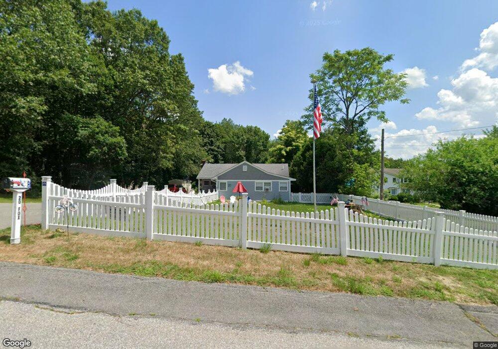
20 Fox St Dracut, MA 01826
Estimated Value: $529,058 - $600,000
3
Beds
3
Baths
1,688
Sq Ft
$333/Sq Ft
Est. Value
About This Home
This home is located at 20 Fox St, Dracut, MA 01826 and is currently estimated at $562,765, approximately $333 per square foot. 20 Fox St is a home located in Middlesex County with nearby schools including Joseph A. Campbell Elementary School, Richardson Middle School, and Dracut Senior High School.
Ownership History
Date
Name
Owned For
Owner Type
Purchase Details
Closed on
Sep 23, 2019
Sold by
Sweeney Robert S
Bought by
Welsh Jinnie
Current Estimated Value
Home Financials for this Owner
Home Financials are based on the most recent Mortgage that was taken out on this home.
Original Mortgage
$275,000
Outstanding Balance
$238,759
Interest Rate
3.6%
Mortgage Type
New Conventional
Estimated Equity
$324,006
Purchase Details
Closed on
Nov 12, 2008
Sold by
Dawson Audrey A and Kimball Audrey A
Bought by
Sweeney Robert S
Create a Home Valuation Report for This Property
The Home Valuation Report is an in-depth analysis detailing your home's value as well as a comparison with similar homes in the area
Home Values in the Area
Average Home Value in this Area
Purchase History
| Date | Buyer | Sale Price | Title Company |
|---|---|---|---|
| Welsh Jinnie | $380,000 | -- | |
| Sweeney Robert S | -- | -- | |
| Sweeney Robert S | -- | -- |
Source: Public Records
Mortgage History
| Date | Status | Borrower | Loan Amount |
|---|---|---|---|
| Open | Welsh Jinnie | $275,000 |
Source: Public Records
Tax History
| Year | Tax Paid | Tax Assessment Tax Assessment Total Assessment is a certain percentage of the fair market value that is determined by local assessors to be the total taxable value of land and additions on the property. | Land | Improvement |
|---|---|---|---|---|
| 2025 | $5,082 | $502,200 | $197,900 | $304,300 |
| 2024 | $5,236 | $501,100 | $188,400 | $312,700 |
| 2023 | $5,010 | $432,600 | $163,800 | $268,800 |
| 2022 | $4,968 | $404,200 | $148,900 | $255,300 |
| 2021 | $4,703 | $361,500 | $135,400 | $226,100 |
| 2020 | $4,506 | $337,500 | $131,400 | $206,100 |
| 2019 | $4,397 | $319,800 | $125,100 | $194,700 |
| 2018 | $3,987 | $288,300 | $125,100 | $163,200 |
| 2017 | $3,931 | $288,300 | $125,100 | $163,200 |
| 2016 | $3,762 | $253,500 | $120,300 | $133,200 |
| 2015 | $3,635 | $243,500 | $120,300 | $123,200 |
| 2014 | $3,295 | $227,400 | $120,300 | $107,100 |
Source: Public Records
Map
Nearby Homes
- Lot 11 Christian St
- Lot 12 Christian St
- Lot 9 Christian St
- Lot 10 Christian St
- 81 Reservoir St
- 164 Bradley St
- Lots 1-12 Christian Hill Dev
- 100 Merrimack Ave Unit 9
- 52 Christian St
- 42 Christian St
- 3 Vernon St
- 89 Newbury St
- 192 1st St
- 106 Methuen St Unit B
- 105 3rd St
- 11 Joseph Ave
- 18 May St
- 27-29 Fifth St
- 94 1st St Unit 10
- 25 Read St
Your Personal Tour Guide
Ask me questions while you tour the home.