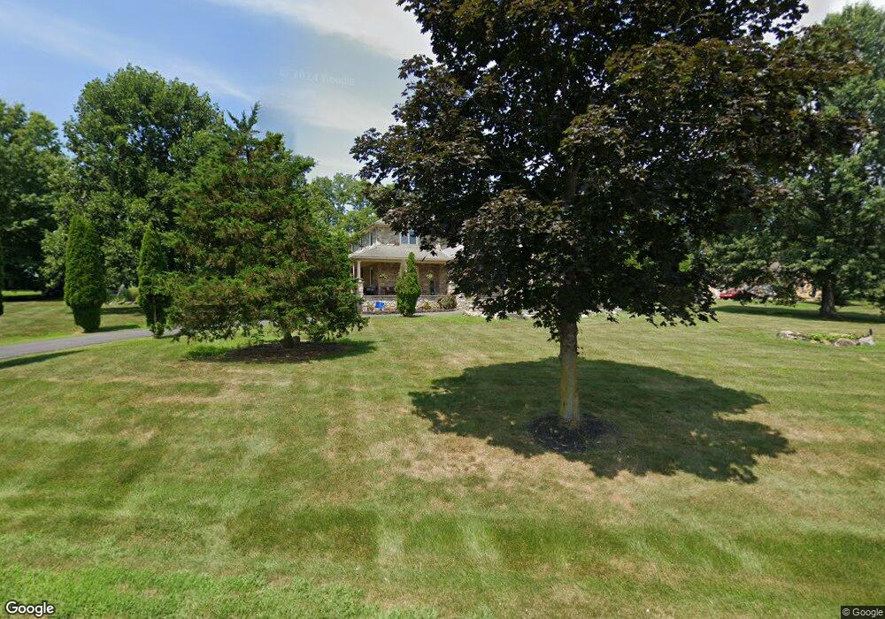
20 Frya Run Easton, PA 18042
Estimated Value: $874,000 - $924,000
4
Beds
3
Baths
2,904
Sq Ft
$309/Sq Ft
Est. Value
About This Home
This home is located at 20 Frya Run, Easton, PA 18042 and is currently estimated at $898,328, approximately $309 per square foot. 20 Frya Run is a home located in Northampton County with nearby schools including Wilson Area High School.
Ownership History
Date
Name
Owned For
Owner Type
Purchase Details
Closed on
Dec 12, 2007
Sold by
Camden Mark T
Bought by
Mueller Christopher J
Current Estimated Value
Home Financials for this Owner
Home Financials are based on the most recent Mortgage that was taken out on this home.
Original Mortgage
$417,000
Outstanding Balance
$263,944
Interest Rate
6.3%
Mortgage Type
New Conventional
Estimated Equity
$634,384
Purchase Details
Closed on
Feb 1, 1999
Bought by
Camden Mark T and Camden Dolores
Create a Home Valuation Report for This Property
The Home Valuation Report is an in-depth analysis detailing your home's value as well as a comparison with similar homes in the area
Home Values in the Area
Average Home Value in this Area
Purchase History
| Date | Buyer | Sale Price | Title Company |
|---|---|---|---|
| Mueller Christopher J | $550,000 | -- | |
| Camden Mark T | $32,000 | -- |
Source: Public Records
Mortgage History
| Date | Status | Borrower | Loan Amount |
|---|---|---|---|
| Open | Mueller Christopher J | $417,000 |
Source: Public Records
Tax History Compared to Growth
Tax History
| Year | Tax Paid | Tax Assessment Tax Assessment Total Assessment is a certain percentage of the fair market value that is determined by local assessors to be the total taxable value of land and additions on the property. | Land | Improvement |
|---|---|---|---|---|
| 2025 | $1,815 | $168,100 | $35,500 | $132,600 |
| 2024 | $12,257 | $168,100 | $35,500 | $132,600 |
| 2023 | $11,867 | $168,100 | $35,500 | $132,600 |
| 2022 | $12,158 | $168,100 | $35,500 | $132,600 |
| 2021 | $12,227 | $168,100 | $35,500 | $132,600 |
| 2020 | $12,227 | $168,100 | $35,500 | $132,600 |
| 2019 | $12,033 | $168,100 | $35,500 | $132,600 |
| 2018 | $11,743 | $168,100 | $35,500 | $132,600 |
| 2017 | $11,452 | $168,100 | $35,500 | $132,600 |
| 2016 | -- | $168,100 | $35,500 | $132,600 |
| 2015 | -- | $168,100 | $35,500 | $132,600 |
| 2014 | -- | $168,100 | $35,500 | $132,600 |
Source: Public Records
Map
Nearby Homes
- 120 Fox Run
- 135 Coffeetown Rd
- 93 Coffeetown Rd
- 60 Melchor Dr
- 465 Royal Manor Rd Unit LOT 4
- 465 Royal Manor Rd Unit LOT 2
- 465 Royal Manor Rd Unit LOT 7
- 465 Royal Manor Rd
- 325 Raubsville Rd
- 55 Forrest Stand Dr
- 410 Bougher Hill Rd
- 138 River Rd
- 175 Durham Rd
- 820 Spring Hill Rd
- 215 Stouts Valley Rd
- 0 Durham Rd Unit 12 Acres
- 20 Ava Way
- 450 Buttermilk Rd
- 70 Kate Ct
- 865 Sherers Hill Rd
- 40 Frys Run Rd
- 10 Frya Run
- 180 Kressman Rd
- 30 Frya Run
- 50 Frya Run
- 155 Fox Run
- 170 Kressman Rd
- 485 Kressman Rd
- 505 Kressman Rd
- 965 Raubsville Rd
- 475 Kressman Rd
- 150 Ridge Rd
- 145 Fox Run
- 160 Fox Run
- 160 Kressman Rd
- 465 Kressman Rd
- 0 Bougher Hill Rd
- 00 Bougher Hill Rd
- 000 Bougher Hill Rd
- 205 Coffeetown Rd Unit 5.9AC