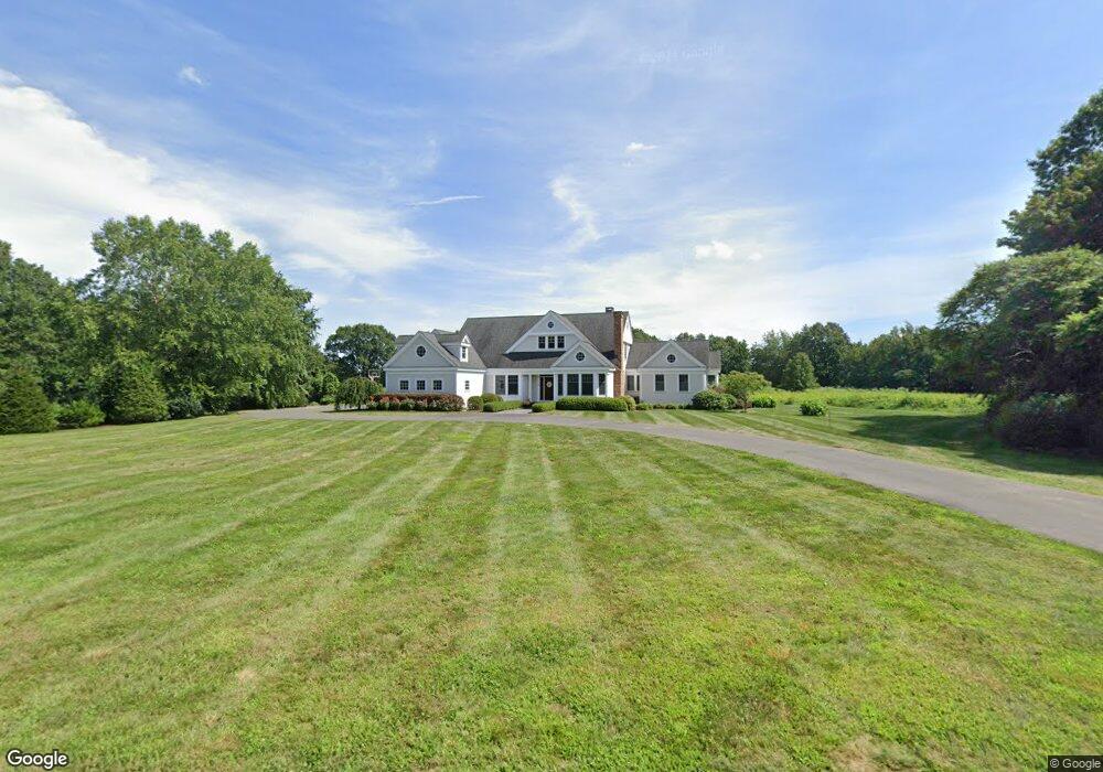
20 Garrett Rd Canton, CT 06019
Estimated Value: $996,000 - $1,184,000
4
Beds
5
Baths
4,781
Sq Ft
$225/Sq Ft
Est. Value
About This Home
This home is located at 20 Garrett Rd, Canton, CT 06019 and is currently estimated at $1,075,489, approximately $224 per square foot. 20 Garrett Rd is a home located in Hartford County with nearby schools including Cherry Brook Primary School, Canton Intermediate School, and Canton Middle School.
Ownership History
Date
Name
Owned For
Owner Type
Purchase Details
Closed on
Jun 8, 2020
Sold by
Vanlinda Frances N
Bought by
Trouerntrend Elizabeth
Current Estimated Value
Purchase Details
Closed on
Sep 30, 2004
Sold by
Hoffmann Farms Llc
Bought by
Vanlinda Frances N
Create a Home Valuation Report for This Property
The Home Valuation Report is an in-depth analysis detailing your home's value as well as a comparison with similar homes in the area
Home Values in the Area
Average Home Value in this Area
Purchase History
| Date | Buyer | Sale Price | Title Company |
|---|---|---|---|
| Trouerntrend Elizabeth | $677,000 | None Available | |
| Trouerntrend Elizabeth | $677,000 | None Available | |
| Vanlinda Frances N | $370,000 | -- | |
| Hoffmann Farms Llc | $30,000 | -- | |
| Vanlinda Frances N | $370,000 | -- |
Source: Public Records
Mortgage History
| Date | Status | Borrower | Loan Amount |
|---|---|---|---|
| Previous Owner | Vanlinda Frances N | $324,000 | |
| Previous Owner | Vanlinda Frances N | $417,000 | |
| Previous Owner | Vanlinda Frances N | $417,000 |
Source: Public Records
Tax History
| Year | Tax Paid | Tax Assessment Tax Assessment Total Assessment is a certain percentage of the fair market value that is determined by local assessors to be the total taxable value of land and additions on the property. | Land | Improvement |
|---|---|---|---|---|
| 2025 | $21,201 | $632,880 | $141,880 | $491,000 |
| 2024 | $21,613 | $632,880 | $141,880 | $491,000 |
| 2023 | $16,601 | $469,350 | $119,170 | $350,180 |
| 2022 | $15,185 | $450,720 | $119,170 | $331,550 |
| 2021 | $14,973 | $450,720 | $119,170 | $331,550 |
| 2020 | $14,689 | $450,720 | $119,170 | $331,550 |
| 2019 | $14,308 | $446,710 | $119,170 | $327,540 |
| 2018 | $17,526 | $570,880 | $122,660 | $448,220 |
| 2017 | $17,406 | $570,880 | $122,660 | $448,220 |
| 2016 | $16,989 | $570,880 | $122,660 | $448,220 |
| 2015 | $16,664 | $570,880 | $122,660 | $448,220 |
| 2014 | $16,305 | $570,890 | $122,670 | $448,220 |
Source: Public Records
Map
Nearby Homes
- 15 Red Fox Run
- 152 E Hill Rd
- 121 Gracey Rd
- 34 Rocklyn Dr
- 308 Cherry Brook Rd
- 13 Woodland Dr
- 70 E Hill Rd
- 22 Bel Aire Ln
- 12 Colony Rd
- 14 Brookview Cir
- 49 Applegate Ln Unit 49
- 10 Shingle Mill Dr
- 33 Westwood Dr
- 73 High Valley Dr
- 35 Shingle Mill Rd
- 52 Shingle Mill Rd
- 95 Dyer Ave
- 55 Dowd Ave Unit 22
- 72 Dyer Ave
- 28 Meadowview Ct Unit 28
- 20 Garrett Rd Unit 36
- 24 Garrett Rd
- lot 1 Garrett Rd
- 19 Garrett Rd
- 16 Garrett Rd
- 23 Garrett Rd
- 33 Hoffmann Rd
- 29 Hoffmann Rd
- 13 Garrett Rd
- 38 Garrett Rd
- 27 Garrett Rd
- 42 Garrett Rd
- 42 Garrett Rd Unit 42
- 42 Garrett Rd
- 12 Garrett Rd
- 25 Hoffmann Rd
- 37 Hoffmann Rd
- 31 Garrett Rd
- 277 E Hill Rd
- 15 Hoffmann Rd Unit 27
Your Personal Tour Guide
Ask me questions while you tour the home.