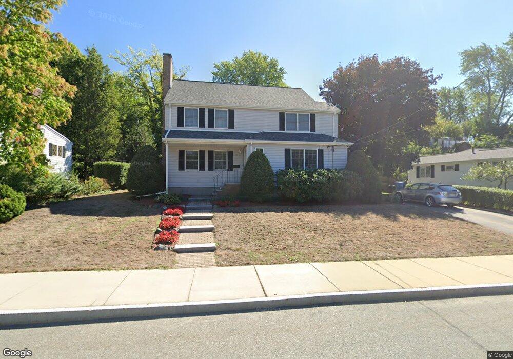
20 Gilman Rd Waltham, MA 02452
North Waltham NeighborhoodEstimated Value: $829,000 - $884,000
3
Beds
2
Baths
1,906
Sq Ft
$453/Sq Ft
Est. Value
About This Home
This home is located at 20 Gilman Rd, Waltham, MA 02452 and is currently estimated at $864,338, approximately $453 per square foot. 20 Gilman Rd is a home located in Middlesex County with nearby schools including Northeast Elementary School, John F Kennedy Middle School, and Waltham Sr High School.
Ownership History
Date
Name
Owned For
Owner Type
Purchase Details
Closed on
Nov 1, 2024
Sold by
Obrien Nancy P and Obrien Richard
Bought by
Obrien 2024 Ft and Obrien
Current Estimated Value
Purchase Details
Closed on
Sep 1, 1982
Bought by
Obrien Richard and Obrien Nancy
Create a Home Valuation Report for This Property
The Home Valuation Report is an in-depth analysis detailing your home's value as well as a comparison with similar homes in the area
Home Values in the Area
Average Home Value in this Area
Purchase History
| Date | Buyer | Sale Price | Title Company |
|---|---|---|---|
| Obrien 2024 Ft | -- | None Available | |
| Obrien 2024 Ft | -- | None Available | |
| Obrien Richard | $70,000 | -- |
Source: Public Records
Mortgage History
| Date | Status | Borrower | Loan Amount |
|---|---|---|---|
| Previous Owner | Obrien Richard | $122,500 | |
| Previous Owner | Obrien Richard | $25,000 |
Source: Public Records
Tax History Compared to Growth
Tax History
| Year | Tax Paid | Tax Assessment Tax Assessment Total Assessment is a certain percentage of the fair market value that is determined by local assessors to be the total taxable value of land and additions on the property. | Land | Improvement |
|---|---|---|---|---|
| 2025 | $7,465 | $760,200 | $429,400 | $330,800 |
| 2024 | $7,109 | $737,400 | $410,400 | $327,000 |
| 2023 | $7,010 | $679,300 | $372,400 | $306,900 |
| 2022 | $6,983 | $626,800 | $334,400 | $292,400 |
| 2021 | $6,939 | $613,000 | $334,400 | $278,600 |
| 2020 | $6,791 | $568,300 | $311,600 | $256,700 |
| 2019 | $6,595 | $520,900 | $307,800 | $213,100 |
| 2018 | $6,006 | $476,300 | $285,000 | $191,300 |
| 2017 | $5,648 | $449,700 | $258,400 | $191,300 |
| 2016 | $5,318 | $434,500 | $243,200 | $191,300 |
| 2015 | $5,110 | $389,200 | $212,800 | $176,400 |
Source: Public Records
Map
Nearby Homes
- 107 Clocktower Dr Unit 3302
- 170 Clocktower Dr Unit 5103
- 87 Clocktower Dr Unit 2207
- 750 Trapelo Rd
- 65 Woburn St
- 30 Jacqueline Rd Unit C
- 1105 Lexington St Unit 102
- 23 Wight St
- 55 Circle Dr
- 311 Concord Ave
- 116 Raffaele Dr
- 30 Wampum Ave
- 129 Lake St
- 14 Piedmont Ave
- 28 College Farm Rd Unit 2
- 5 April Ln Unit 12
- 70 Rosewood Dr
- 65 Montclair Ave
- 44 Sachem St
- 234 Lake St