20 Grand Island Dr Osterville, MA 2655
Osterville NeighborhoodEstimated Value: $2,424,021 - $9,282,000
--
Bed
--
Bath
--
Sq Ft
0.74
Acres
About This Home
This home is located at 20 Grand Island Dr, Osterville, MA 2655 and is currently estimated at $7,378,005. 20 Grand Island Dr is a home located in Barnstable County with nearby schools including West Villages Elementary School, Barnstable United Elementary School, and Barnstable Intermediate School.
Ownership History
Date
Name
Owned For
Owner Type
Purchase Details
Closed on
Jun 23, 2010
Sold by
Aes Rt and Sullivan
Bought by
Delorey Walter F and Delorey Brian
Current Estimated Value
Home Financials for this Owner
Home Financials are based on the most recent Mortgage that was taken out on this home.
Original Mortgage
$756,000
Outstanding Balance
$506,922
Interest Rate
4.98%
Mortgage Type
Purchase Money Mortgage
Estimated Equity
$6,871,083
Create a Home Valuation Report for This Property
The Home Valuation Report is an in-depth analysis detailing your home's value as well as a comparison with similar homes in the area
Home Values in the Area
Average Home Value in this Area
Purchase History
| Date | Buyer | Sale Price | Title Company |
|---|---|---|---|
| Delorey Walter F | $945,000 | -- | |
| Delorey Walter F | $945,000 | -- | |
| Delorey Walter F | $945,000 | -- |
Source: Public Records
Mortgage History
| Date | Status | Borrower | Loan Amount |
|---|---|---|---|
| Open | Delorey Walter F | $756,000 | |
| Closed | Delorey Walter F | $756,000 |
Source: Public Records
Tax History Compared to Growth
Tax History
| Year | Tax Paid | Tax Assessment Tax Assessment Total Assessment is a certain percentage of the fair market value that is determined by local assessors to be the total taxable value of land and additions on the property. | Land | Improvement |
|---|---|---|---|---|
| 2025 | $13,738 | $1,698,100 | $1,666,400 | $31,700 |
| 2024 | $13,015 | $1,666,400 | $1,666,400 | $0 |
| 2023 | $10,941 | $1,311,900 | $1,311,900 | $0 |
| 2022 | $14,277 | $1,481,000 | $983,300 | $497,700 |
| 2021 | $15,260 | $1,454,700 | $1,012,200 | $442,500 |
| 2020 | $15,443 | $1,409,000 | $1,012,200 | $396,800 |
| 2019 | $14,420 | $1,278,400 | $925,500 | $352,900 |
| 2018 | $14,340 | $1,278,100 | $974,200 | $303,900 |
| 2017 | $13,588 | $1,262,800 | $974,200 | $288,600 |
| 2016 | $13,329 | $1,222,800 | $948,000 | $274,800 |
| 2015 | $13,042 | $1,202,000 | $964,600 | $237,400 |
Source: Public Records
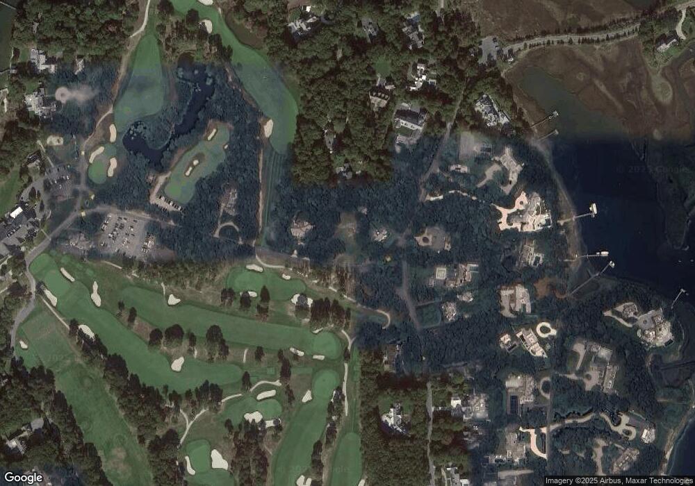
Map
Nearby Homes
- 25 Oyster Way
- 245 N Bay Rd
- 355 Bridge St
- Lot 289 Seapuit River B Rd
- 71 Sand Point
- Lot 288 Seapuit River A Rd
- 440 Grand Island Dr
- 14 Indian Trail
- Lot 289 Seapuit River Road B
- Lot 288 Seapuit River Rd A
- 174 Little River Rd
- 255 Bayberry Way
- 426 Old Post Rd
- 135 Putnam Ave
- 168 Garrison Ln
- 850 Sea View Ave
- 24 Bay Rd
- 5 Putnam Ave
- 20 Grand Island Dr
- 44 Grand Island Dr
- 2 Grand Island Dr
- 25 Oakdale Path
- 25 Oakdale Rd
- 43 Oakdale Path
- 43 Oakdale Rd
- 52 Oakdale Path
- 111 Oyster Way
- 74 Grand Island Dr
- 58 Oyster Way
- 129 Oyster Way
- 150 Oyster Way
- 129 Oyster Way
- 30 Oakdale Path
- 110 Grand Island Dr
- 30 Oakdale Rd
- 48 Oyster Way
- 94 Grand Island Dr
- 145 Oyster Way