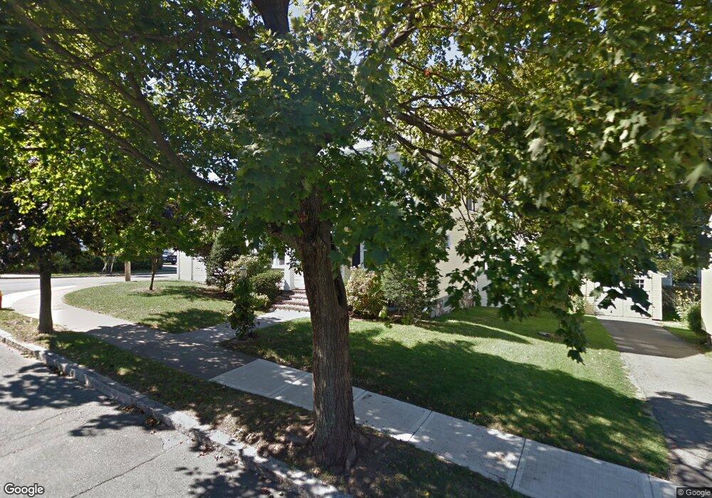
20 Harding Rd Melrose, MA 02176
Melrose East Side NeighborhoodEstimated Value: $869,000 - $1,005,000
3
Beds
1
Bath
1,704
Sq Ft
$556/Sq Ft
Est. Value
About This Home
This home is located at 20 Harding Rd, Melrose, MA 02176 and is currently estimated at $947,332, approximately $555 per square foot. 20 Harding Rd is a home located in Middlesex County with nearby schools including Winthrop Elementary School, Horace Mann Elementary School, and Roosevelt Elementary School.
Ownership History
Date
Name
Owned For
Owner Type
Purchase Details
Closed on
Feb 22, 2001
Sold by
Hasanen Pertti and Hasanen Anne Marie
Bought by
Castro Michael C and Castro Constance M
Current Estimated Value
Purchase Details
Closed on
Jun 25, 1999
Sold by
Blake Stephen W and Blake Donna J
Bought by
Hasanen Pertti and Hasanen Anne M
Create a Home Valuation Report for This Property
The Home Valuation Report is an in-depth analysis detailing your home's value as well as a comparison with similar homes in the area
Home Values in the Area
Average Home Value in this Area
Purchase History
| Date | Buyer | Sale Price | Title Company |
|---|---|---|---|
| Castro Michael C | $327,000 | -- | |
| Hasanen Pertti | $287,000 | -- |
Source: Public Records
Mortgage History
| Date | Status | Borrower | Loan Amount |
|---|---|---|---|
| Open | Hasanen Pertti | $360,000 | |
| Closed | Hasanen Pertti | $20,000 |
Source: Public Records
Tax History Compared to Growth
Tax History
| Year | Tax Paid | Tax Assessment Tax Assessment Total Assessment is a certain percentage of the fair market value that is determined by local assessors to be the total taxable value of land and additions on the property. | Land | Improvement |
|---|---|---|---|---|
| 2025 | $81 | $820,200 | $500,100 | $320,100 |
| 2024 | $8,145 | $820,200 | $500,100 | $320,100 |
| 2023 | $7,702 | $739,200 | $446,000 | $293,200 |
| 2022 | $7,410 | $701,000 | $419,000 | $282,000 |
| 2021 | $7,097 | $648,100 | $378,400 | $269,700 |
| 2020 | $7,163 | $648,200 | $378,400 | $269,800 |
| 2019 | $6,370 | $589,300 | $341,900 | $247,400 |
| 2018 | $6,324 | $558,200 | $310,800 | $247,400 |
| 2017 | $6,208 | $526,100 | $297,300 | $228,800 |
| 2016 | $6,113 | $495,800 | $283,800 | $212,000 |
| 2015 | $5,864 | $452,500 | $270,300 | $182,200 |
| 2014 | $5,830 | $439,000 | $256,800 | $182,200 |
Source: Public Records
Map
Nearby Homes
- 55 Burrell St
- 128 Green St Unit 128
- 46 Country Club Rd
- 218 Upham St
- 6 Linden Rd
- 180 Green St Unit 416
- 180 Green St Unit 303
- 8 Crystal St Unit 3
- 8 Crystal St Unit 2
- 49 Melrose St Unit 7E
- 760 Lynn Fells Pkwy
- 257 1st St
- 50-52 Albion St
- 67 Lovell Rd
- 76 Lovell Rd
- 26 Magnolia Rd
- 118 N Woodcrest Dr
- 110 Ellis Farm Ln
- 16-18 Beacon Place
- 119 W Highland Ave Unit 1