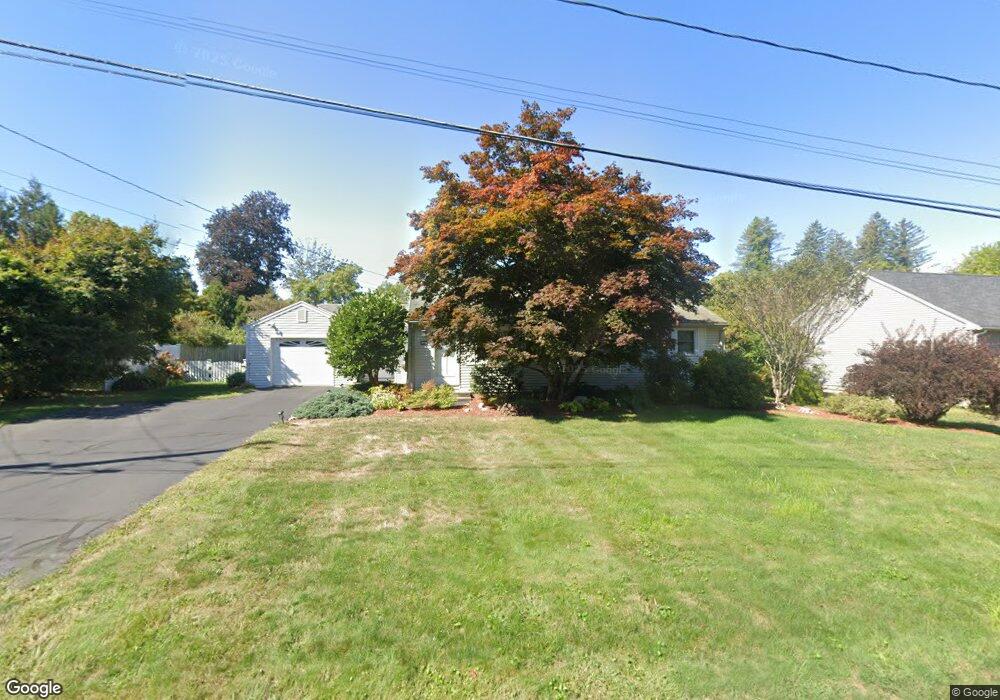
20 Hartman Rd Amherst, MA 01002
Amherst AreaEstimated Value: $428,823 - $466,000
About This Home
This home is located at 20 Hartman Rd, Amherst, MA 01002 and is currently estimated at $446,456, approximately $429 per square foot. 20 Hartman Rd is a home located in Hampshire County with nearby schools including Wildwood Elementary School, Amherst Regional Middle School, and Amherst Regional High School.
Ownership History
We collect this data history from publicly available records. To have your information removed, we recommend requesting removal directly through your county’s website.
Purchase Details
Home Values in the Area
Average Home Value in this Area
Purchase History
We collect this data history from publicly available records. To have your information removed, we recommend requesting removal directly through your county’s website.
| Date | Buyer | Sale Price | Title Company |
|---|---|---|---|
| $150,500 | -- |
Mortgage History
We collect this data history from publicly available records. To have your information removed, we recommend requesting removal directly through your county’s website.
| Date | Status | Borrower | Loan Amount |
|---|---|---|---|
| Closed | $49,000 |
Tax History
We collect this data history from publicly available records. To have your information removed, we recommend requesting removal directly through your county’s website.
| Year | Tax Paid | Tax Assessment Tax Assessment Total Assessment is a certain percentage of the fair market value that is determined by local assessors to be the total taxable value of land and additions on the property. | Land | Improvement |
|---|---|---|---|---|
| 2025 | $67 | $371,100 | $186,000 | $185,100 |
| 2024 | $6,491 | $350,700 | $175,500 | $175,200 |
| 2023 | $6,243 | $310,600 | $159,500 | $151,100 |
| 2022 | $5,934 | $279,000 | $145,000 | $134,000 |
| 2021 | $5,638 | $258,400 | $134,300 | $124,100 |
| 2020 | $5,509 | $258,400 | $134,300 | $124,100 |
| 2019 | $5,387 | $247,100 | $134,300 | $112,800 |
| 2018 | $5,224 | $247,100 | $134,300 | $112,800 |
| 2017 | $5,008 | $229,400 | $128,000 | $101,400 |
| 2016 | $4,868 | $229,400 | $128,000 | $101,400 |
| 2015 | $4,712 | $229,400 | $128,000 | $101,400 |
Map
- 49 Harlow Dr
- 208 Rolling Ridge Rd
- 691 E Pleasant St
- 185 Cherry Ln
- 208 Pine St Unit 53
- 37 Harris St
- 102 Farview Way
- 71 Morgan Cir
- Lot A Kingman Rd
- 166 Summer St
- 177 Montague Rd
- 20 Bridge St
- 45 Henry St
- 409 Henry St
- 390 State St
- 418 State St
- 579 Pulpit Hill Rd
- 539 Pulpit Hill Rd
- 559 Pulpit Hill Rd
- 210 Strong St
- 28 Hartman Rd
- 12 Hartman Rd
- 21 Ridgecrest Rd
- 36 Hartman Rd
- 29 Ridgecrest Rd
- 97 Van Meter Dr
- 13 Ridgecrest Rd
- 21 Hartman Rd
- 15 Hartman Rd
- 29 Hartman Rd
- 37 Ridgecrest Rd
- 115 Van Meter Dr
- 5 Hartman Rd
- 42 Hartman Rd
- 37 Hartman Rd
- 43 Ridgecrest Rd
- 94 Van Meter Dr
- 102 Van Meter Dr
- 108 Harlow Dr
- 24 Ridgecrest Rd
Ask me questions while you tour the home.