20 Heather Way Sunapee, NH 03782
Estimated Value: $1,100,000 - $1,475,000
3
Beds
3
Baths
2,787
Sq Ft
$467/Sq Ft
Est. Value
About This Home
This home is located at 20 Heather Way, Sunapee, NH 03782 and is currently estimated at $1,302,416, approximately $467 per square foot. 20 Heather Way is a home with nearby schools including Sunapee Central School, Sunapee Middle High School, and Sunapee Senior High School.
Ownership History
Date
Name
Owned For
Owner Type
Purchase Details
Closed on
Dec 14, 2007
Sold by
Garden Dev Sunapee Llc
Bought by
Farmer 3Rd Harlow G and Lian Nina C
Current Estimated Value
Home Financials for this Owner
Home Financials are based on the most recent Mortgage that was taken out on this home.
Original Mortgage
$417,000
Outstanding Balance
$263,944
Interest Rate
6.3%
Mortgage Type
Purchase Money Mortgage
Estimated Equity
$1,038,472
Create a Home Valuation Report for This Property
The Home Valuation Report is an in-depth analysis detailing your home's value as well as a comparison with similar homes in the area
Home Values in the Area
Average Home Value in this Area
Purchase History
| Date | Buyer | Sale Price | Title Company |
|---|---|---|---|
| Farmer 3Rd Harlow G | $800,000 | -- |
Source: Public Records
Mortgage History
| Date | Status | Borrower | Loan Amount |
|---|---|---|---|
| Open | Farmer 3Rd Harlow G | $417,000 |
Source: Public Records
Tax History Compared to Growth
Tax History
| Year | Tax Paid | Tax Assessment Tax Assessment Total Assessment is a certain percentage of the fair market value that is determined by local assessors to be the total taxable value of land and additions on the property. | Land | Improvement |
|---|---|---|---|---|
| 2024 | $8,018 | $801,000 | $275,300 | $525,700 |
| 2023 | $11,433 | $1,181,100 | $492,700 | $688,400 |
| 2022 | $11,206 | $801,000 | $275,300 | $525,700 |
| 2021 | $10,918 | $801,000 | $275,300 | $525,700 |
| 2020 | $11,086 | $801,000 | $275,300 | $525,700 |
| 2019 | $10,538 | $661,500 | $285,800 | $375,700 |
| 2018 | $10,300 | $661,500 | $285,800 | $375,700 |
| 2017 | $10,167 | $661,500 | $285,800 | $375,700 |
| 2016 | $9,942 | $661,500 | $285,800 | $375,700 |
| 2015 | $9,654 | $643,200 | $366,600 | $276,600 |
| 2014 | $9,764 | $643,200 | $366,600 | $276,600 |
| 2013 | $9,404 | $643,200 | $366,600 | $276,600 |
Source: Public Records
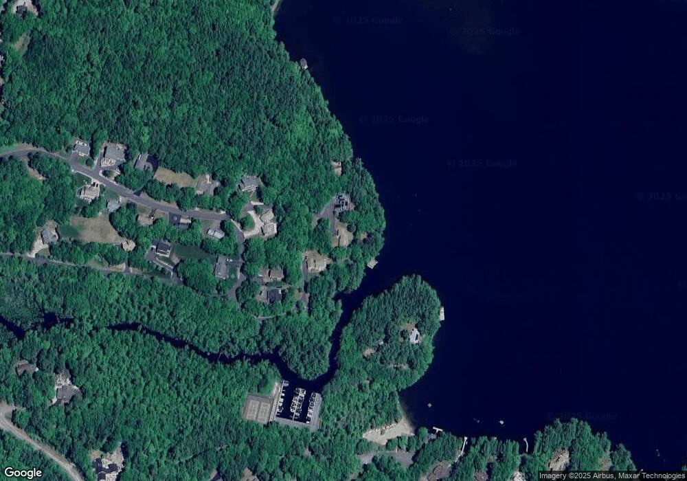
Map
Nearby Homes
- 0 Edgemont Rd Unit 44
- 315 Edgemont Rd
- 274 Edgemont Rd
- 30 Greystone Ln
- 14 Sugarhouse Ln
- 14 Lake Ave Unit 1
- 55 High St
- 8 Snow Rd
- 33 Chandler Brook Rd
- 616 New Hampshire Route 103
- 552 Route 103
- 20 Edgemont Landing Rd
- 356 Route 103
- 52 Jeffrey Dr
- 37 Baker Hill Rd
- 118 North Rd
- 81 Lakewood Manor Rd
- 214 Bradford Rd
- 91 Chalk Pond Rd
- 0 Lakewood Manor Rd Unit 467