20 Herring Pond Way Eastham, MA 2642
Estimated Value: $1,241,000 - $1,813,000
3
Beds
3
Baths
2,099
Sq Ft
$716/Sq Ft
Est. Value
About This Home
This home is located at 20 Herring Pond Way, Eastham, MA 2642 and is currently estimated at $1,502,930, approximately $716 per square foot. 20 Herring Pond Way is a home located in Barnstable County with nearby schools including Eastham Elementary School, Nauset Regional Middle School, and Nauset Regional High School.
Ownership History
Date
Name
Owned For
Owner Type
Purchase Details
Closed on
Jan 8, 2024
Sold by
Stewart Susan M
Bought by
20 Herring Pond Way Irt and Campbell
Current Estimated Value
Purchase Details
Closed on
Mar 23, 2022
Sold by
Campbell-Stewart Susan
Bought by
Sme Stewart 2022 T and Sme Stewart
Create a Home Valuation Report for This Property
The Home Valuation Report is an in-depth analysis detailing your home's value as well as a comparison with similar homes in the area
Home Values in the Area
Average Home Value in this Area
Purchase History
| Date | Buyer | Sale Price | Title Company |
|---|---|---|---|
| 20 Herring Pond Way Irt | -- | None Available | |
| Stewart Susan M | -- | None Available | |
| Sme Stewart 2022 T | -- | None Available |
Source: Public Records
Tax History Compared to Growth
Tax History
| Year | Tax Paid | Tax Assessment Tax Assessment Total Assessment is a certain percentage of the fair market value that is determined by local assessors to be the total taxable value of land and additions on the property. | Land | Improvement |
|---|---|---|---|---|
| 2025 | $10,143 | $1,315,600 | $773,400 | $542,200 |
| 2024 | $9,000 | $1,283,900 | $750,800 | $533,100 |
| 2023 | $7,700 | $1,063,500 | $599,300 | $464,200 |
| 2022 | $7,266 | $846,800 | $513,700 | $333,100 |
| 2021 | $7,634 | $831,600 | $525,300 | $306,300 |
| 2020 | $7,543 | $865,000 | $536,100 | $328,900 |
| 2019 | $6,961 | $843,800 | $520,500 | $323,300 |
| 2018 | $6,842 | $819,400 | $505,400 | $314,000 |
| 2017 | $6,375 | $806,900 | $495,500 | $311,400 |
| 2016 | $6,099 | $819,800 | $513,800 | $306,000 |
| 2015 | $5,711 | $804,400 | $503,700 | $300,700 |
Source: Public Records
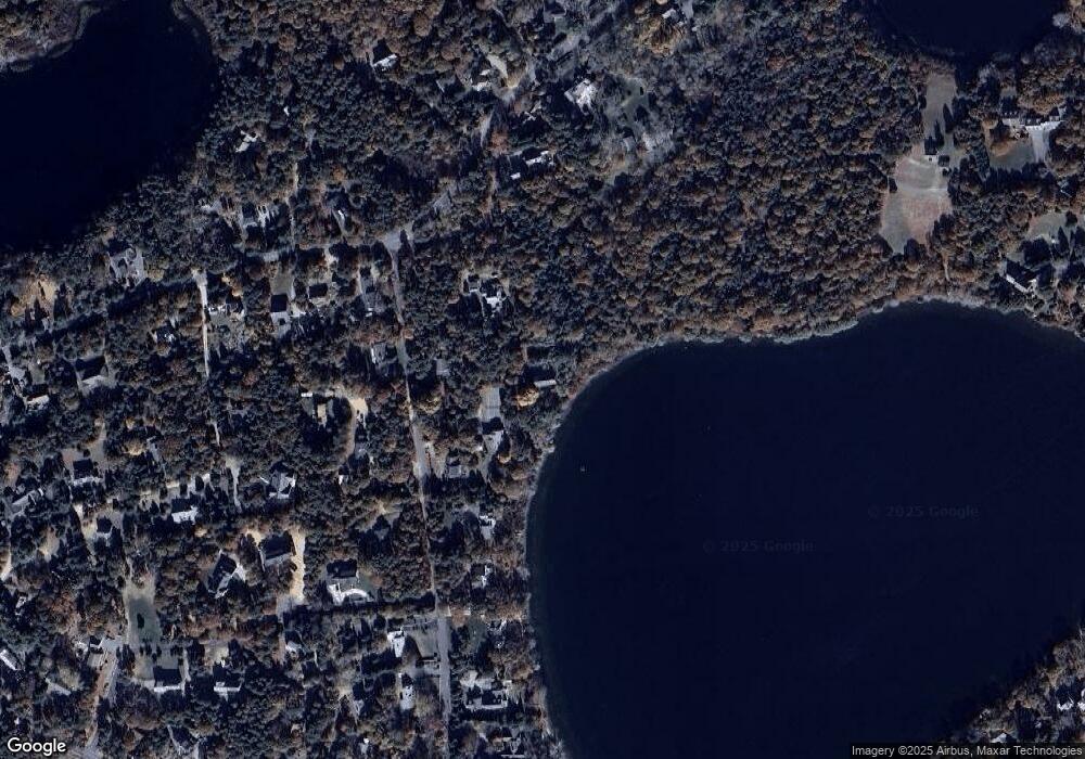
Map
Nearby Homes
- 645 Samoset Rd
- 1295 Herring Brook Rd
- 4 Wood Duck Ln
- 180 Country Ln
- 10 Cartway N
- 1975 State Hwy Unit 3
- 1975 State Hwy Unit 5
- 1875 State Hwy
- 330 Hay Rd
- 20 White Pines Dr
- 45 Cranberry Cir
- 45 Starlight Ln
- 10 Alston Ct
- 20 Redberry Ln
- 1061 State Hwy Unit 4
- 10 Surrey Dr
- 993 Intonti Way
- 995 Intonti Way
- 785 State Hwy Unit 9
- 60 Smith Heights Way
- 30 Herring Pond Way
- 220 Lawton Rd
- 250 Lawton Rd
- 190 Lawton Rd
- 875 Samoset Rd
- 150 Lawton Rd
- 895 Samoset Rd
- 245 Lawton Rd
- 185 Lawton Rd
- 120 Lawton Rd
- 120 Lawton Rd Unit 1 & 2
- 120 Lawton Rd Unit A&B
- 120 Lawton Rd Unit 2
- 275 Lawton Rd
- 0 Samoset Rd
- 145 Lawton Rd
- 110 Lawton Rd
- 205 Lawton Rd
- 835 Samoset Rd
- 935 Samoset Rd