20 High Mowing Rd Bradford, NH 03221
Estimated Value: $434,475 - $493,000
4
Beds
3
Baths
1,596
Sq Ft
$292/Sq Ft
Est. Value
About This Home
This home is located at 20 High Mowing Rd, Bradford, NH 03221 and is currently estimated at $465,869, approximately $291 per square foot. 20 High Mowing Rd is a home located in Merrimack County with nearby schools including Sutton Central Elementary School, Kearsarge Regional Middle School, and Kearsarge Regional High School.
Ownership History
Date
Name
Owned For
Owner Type
Purchase Details
Closed on
Dec 4, 2001
Sold by
Harwood John G and Harwood Laura B
Bought by
Godkin Robert J and Godkin John E
Current Estimated Value
Home Financials for this Owner
Home Financials are based on the most recent Mortgage that was taken out on this home.
Original Mortgage
$134,934
Interest Rate
6.66%
Create a Home Valuation Report for This Property
The Home Valuation Report is an in-depth analysis detailing your home's value as well as a comparison with similar homes in the area
Home Values in the Area
Average Home Value in this Area
Purchase History
| Date | Buyer | Sale Price | Title Company |
|---|---|---|---|
| Godkin Robert J | $136,000 | -- |
Source: Public Records
Mortgage History
| Date | Status | Borrower | Loan Amount |
|---|---|---|---|
| Open | Godkin Robert J | $208,900 | |
| Closed | Godkin Robert J | $24,300 | |
| Closed | Godkin Robert J | $40,800 | |
| Closed | Godkin Robert J | $134,934 |
Source: Public Records
Tax History Compared to Growth
Tax History
| Year | Tax Paid | Tax Assessment Tax Assessment Total Assessment is a certain percentage of the fair market value that is determined by local assessors to be the total taxable value of land and additions on the property. | Land | Improvement |
|---|---|---|---|---|
| 2024 | $6,593 | $244,740 | $108,000 | $136,740 |
| 2023 | $6,071 | $239,280 | $108,000 | $131,280 |
| 2022 | $5,656 | $234,110 | $108,000 | $126,110 |
| 2021 | $5,656 | $234,110 | $108,000 | $126,110 |
| 2020 | $5,822 | $234,110 | $108,000 | $126,110 |
| 2019 | $5,897 | $195,990 | $76,200 | $119,790 |
| 2016 | $5,252 | $194,680 | $76,200 | $118,480 |
| 2015 | $5,252 | $194,680 | $76,200 | $118,480 |
| 2014 | $4,736 | $195,780 | $76,200 | $119,580 |
| 2012 | $4,223 | $195,780 | $76,200 | $119,580 |
Source: Public Records
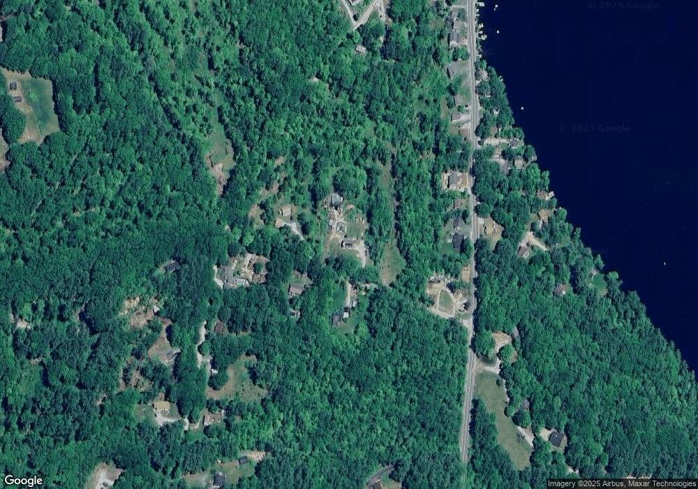
Map
Nearby Homes
- 17 Jolly Farm Rd
- 000 Route 114 Unit 168
- 2024 Route 114
- 2400 Route 114
- 114 E Main St
- 5 Greenhouse Ln
- 108 Circle View Dr
- 55 Water St
- 10 Dodge Hill Rd
- 0 Bagley Hill Rd
- 14 Meetinghouse Hill Rd
- 6 Chapin Way Unit 6
- 12 Chapin Way Unit Lot 12
- 00 Newbury Rd Unit 764-534
- 71 Melvin Rd
- 200 South Rd
- 44 Pleasant View Rd
- 0 Roby Unit 5036005
- 2 Gridley Rd
- 45 Crittenden Rd
- 29 High Mowing Rd
- 28 High Mowing Rd
- 21 High Mowing Rd
- 189 Route 114
- 185 Route 114
- 191 New Hampshire 114
- 193 New Hampshire 114
- 193 Route 114
- 2 & 4 High Mowing Rd
- 102 Foothills Rd
- 185 New Hampshire 114
- 203 Route 114
- 123 Route 114
- 100 Foothills Rd
- 37 Barker Rd
- 205 Route 114
- 188 Route 114
- 188 Route 114
- 198 Route 114
- 101 Foothills Rd