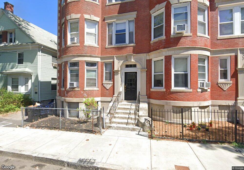
20 Homestead St Unit 2 Dorchester, MA 02121
Washington Park NeighborhoodEstimated Value: $823,568 - $1,151,000
4
Beds
1
Bath
99,999
Sq Ft
$10/Sq Ft
Est. Value
About This Home
This home is located at 20 Homestead St Unit 2, Dorchester, MA 02121 and is currently estimated at $982,392, approximately $9 per square foot. 20 Homestead St Unit 2 is a home located in Suffolk County with nearby schools including Neighborhood School and Mother Caroline Academy & Education Center.
Ownership History
Date
Name
Owned For
Owner Type
Purchase Details
Closed on
Sep 4, 1998
Sold by
Homestead Rt
Bought by
Diggs Bernard L
Current Estimated Value
Home Financials for this Owner
Home Financials are based on the most recent Mortgage that was taken out on this home.
Original Mortgage
$148,500
Interest Rate
6.9%
Mortgage Type
Purchase Money Mortgage
Purchase Details
Closed on
Sep 13, 1995
Sold by
Mccusker James
Bought by
Ortiz Varnie and Barros Kenneth
Create a Home Valuation Report for This Property
The Home Valuation Report is an in-depth analysis detailing your home's value as well as a comparison with similar homes in the area
Home Values in the Area
Average Home Value in this Area
Purchase History
| Date | Buyer | Sale Price | Title Company |
|---|---|---|---|
| Diggs Bernard L | $165,000 | -- | |
| Ortiz Varnie | $20,000 | -- |
Source: Public Records
Mortgage History
| Date | Status | Borrower | Loan Amount |
|---|---|---|---|
| Open | Ortiz Varnie | $262,500 | |
| Closed | Ortiz Varnie | $148,500 |
Source: Public Records
Tax History Compared to Growth
Tax History
| Year | Tax Paid | Tax Assessment Tax Assessment Total Assessment is a certain percentage of the fair market value that is determined by local assessors to be the total taxable value of land and additions on the property. | Land | Improvement |
|---|---|---|---|---|
| 2025 | $13,420 | $1,158,900 | $235,000 | $923,900 |
| 2024 | $11,156 | $1,023,500 | $180,400 | $843,100 |
| 2023 | $9,812 | $913,600 | $161,100 | $752,500 |
| 2022 | $9,287 | $853,600 | $150,500 | $703,100 |
| 2021 | $8,758 | $820,800 | $144,700 | $676,100 |
| 2020 | $7,052 | $667,800 | $132,300 | $535,500 |
| 2019 | $6,285 | $596,300 | $97,800 | $498,500 |
| 2018 | $5,948 | $567,600 | $97,800 | $469,800 |
| 2017 | $6,011 | $567,600 | $97,800 | $469,800 |
| 2016 | $5,434 | $494,000 | $97,800 | $396,200 |
| 2015 | $4,978 | $411,100 | $98,400 | $312,700 |
| 2014 | $4,618 | $367,100 | $98,400 | $268,700 |
Source: Public Records
Map
Nearby Homes
- 9 Abbotsford St Unit 1
- 4 Ruthven St
- 75 Ruthven St
- 214 Humboldt Ave
- 41 W Walnut Park
- 78 Hutchings St Unit 1
- 27 Dixwell St Unit 11
- 27 Dixwell St Unit 12
- 27 Dixwell St Unit 4
- 1-3 Glines Ave
- 164 Ruthven St Unit 1
- 28 Wabon St
- 20 Chilcott Place
- 99 Harrishof St
- 3 Atherton St
- 151 Townsend St
- 35-37 Notre Dame St
- 26-28-30 Notre Dame St
- 39 W Walnut Park
- 90 Munroe St
- 20 Homestead St
- 16 Homestead St
- 24 Homestead St Unit 6
- 24 Homestead St Unit 5
- 24 Homestead St Unit 4
- 24 Homestead St Unit 3
- 24 Homestead St Unit 2
- 24 Homestead St Unit 1
- 26 Homestead St
- 12 Homestead St
- 21 Homestead St
- 9A Ruthven St
- 9A Ruthven St Unit 2
- 17 Homestead St
- 23 Homestead St
- 9 Ruthven St
- 9 Ruthven St Unit 2
- 9 Ruthven St Unit 1
- 9 Ruthven St Unit 3
- 15 Homestead St