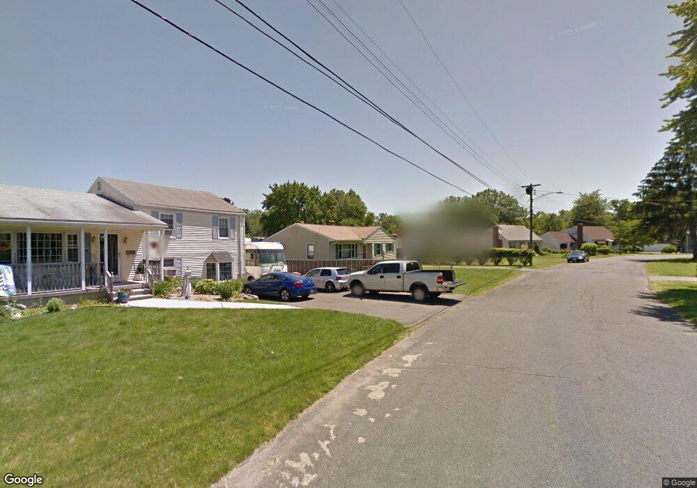
20 Joan Rd New Britain, CT 06053
Estimated Value: $273,000 - $292,000
3
Beds
1
Bath
1,098
Sq Ft
$258/Sq Ft
Est. Value
About This Home
This home is located at 20 Joan Rd, New Britain, CT 06053 and is currently estimated at $283,224, approximately $257 per square foot. 20 Joan Rd is a home located in Hartford County with nearby schools including Holmes School, Pulaski Middle School, and St. Francis of Assisi Middle School.
Ownership History
Date
Name
Owned For
Owner Type
Purchase Details
Closed on
Jun 12, 2007
Sold by
Zaiko Walter
Bought by
Chudy Wladyslaw and Chuda Helena
Current Estimated Value
Purchase Details
Closed on
Jul 30, 1997
Sold by
Baronousky Arthur G and Baronousky Edith
Bought by
Blanchard Steven R
Create a Home Valuation Report for This Property
The Home Valuation Report is an in-depth analysis detailing your home's value as well as a comparison with similar homes in the area
Home Values in the Area
Average Home Value in this Area
Purchase History
| Date | Buyer | Sale Price | Title Company |
|---|---|---|---|
| Chudy Wladyslaw | $172,000 | -- | |
| Blanchard Steven R | $25,000 | -- |
Source: Public Records
Mortgage History
| Date | Status | Borrower | Loan Amount |
|---|---|---|---|
| Previous Owner | Blanchard Steven R | $4,000 |
Source: Public Records
Tax History Compared to Growth
Tax History
| Year | Tax Paid | Tax Assessment Tax Assessment Total Assessment is a certain percentage of the fair market value that is determined by local assessors to be the total taxable value of land and additions on the property. | Land | Improvement |
|---|---|---|---|---|
| 2025 | $5,392 | $137,620 | $62,090 | $75,530 |
| 2024 | $5,448 | $137,620 | $62,090 | $75,530 |
| 2023 | $5,268 | $137,620 | $62,090 | $75,530 |
| 2022 | $4,522 | $91,350 | $28,630 | $62,720 |
| 2021 | $4,522 | $91,350 | $28,630 | $62,720 |
| 2020 | $4,613 | $91,350 | $28,630 | $62,720 |
| 2019 | $4,613 | $91,350 | $28,630 | $62,720 |
| 2018 | $4,613 | $91,350 | $28,630 | $62,720 |
| 2017 | $4,405 | $87,220 | $26,110 | $61,110 |
| 2016 | $4,366 | $86,450 | $26,110 | $60,340 |
| 2015 | $4,236 | $86,450 | $26,110 | $60,340 |
| 2014 | $4,236 | $86,450 | $26,110 | $60,340 |
Source: Public Records
Map
Nearby Homes
- 34 Dorman Rd
- 187 Miriam Rd
- 910 Farmington Ave
- 57 Merigold Dr
- 34 Hutchinson St
- 83 Kim Dr
- 79 Helen Dr
- 2453 Corbin Ave
- 90 Country Club Rd
- 55 Alexander Rd
- 67 Eastwick Rd
- 164 Brittany Farms Rd Unit A
- 59 Heather Ln
- 192 Blodgett Roy Dr
- 394 Mcclintock St
- 258 Eddy Glover Blvd
- 410 Farmington Ave Unit O6
- 198 Brittany Farms Rd Unit D
- 51 Tunxis St
- 1114 Fienemann Rd