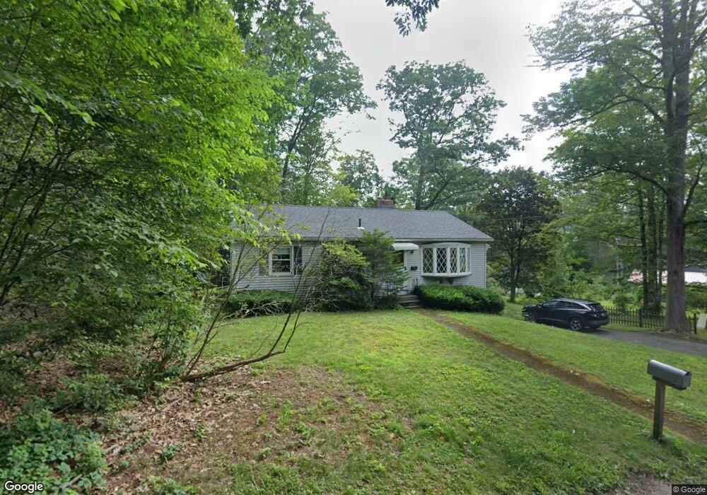
20 Kendrick Rd Shelburne Falls, MA 01370
Buckland NeighborhoodEstimated Value: $367,691 - $436,000
2
Beds
1
Bath
1,661
Sq Ft
$234/Sq Ft
Est. Value
About This Home
This home is located at 20 Kendrick Rd, Shelburne Falls, MA 01370 and is currently estimated at $387,923, approximately $233 per square foot. 20 Kendrick Rd is a home located in Franklin County with nearby schools including Mohawk Trail Regional High School.
Ownership History
Date
Name
Owned For
Owner Type
Purchase Details
Closed on
Aug 22, 2003
Sold by
Hubbard Michael J and Hubbard Wendy H
Bought by
Coller Casey W and Cardwell Grace E
Current Estimated Value
Home Financials for this Owner
Home Financials are based on the most recent Mortgage that was taken out on this home.
Original Mortgage
$124,000
Outstanding Balance
$54,207
Interest Rate
5.52%
Mortgage Type
Purchase Money Mortgage
Estimated Equity
$333,716
Purchase Details
Closed on
Nov 25, 1998
Sold by
Otoole Funding T and Otoole Regina M
Bought by
Hubbard Michael J and Hubbard Wendy H
Home Financials for this Owner
Home Financials are based on the most recent Mortgage that was taken out on this home.
Original Mortgage
$108,000
Interest Rate
6.83%
Mortgage Type
Purchase Money Mortgage
Create a Home Valuation Report for This Property
The Home Valuation Report is an in-depth analysis detailing your home's value as well as a comparison with similar homes in the area
Home Values in the Area
Average Home Value in this Area
Purchase History
| Date | Buyer | Sale Price | Title Company |
|---|---|---|---|
| Coller Casey W | $155,000 | -- | |
| Coller Casey W | $155,000 | -- | |
| Hubbard Michael J | $108,000 | -- | |
| Hubbard Michael J | $108,000 | -- |
Source: Public Records
Mortgage History
| Date | Status | Borrower | Loan Amount |
|---|---|---|---|
| Open | Hubbard Michael J | $124,000 | |
| Closed | Hubbard Michael J | $124,000 | |
| Previous Owner | Hubbard Michael J | $108,000 |
Source: Public Records
Tax History
| Year | Tax Paid | Tax Assessment Tax Assessment Total Assessment is a certain percentage of the fair market value that is determined by local assessors to be the total taxable value of land and additions on the property. | Land | Improvement |
|---|---|---|---|---|
| 2025 | $4,555 | $268,900 | $58,100 | $210,800 |
| 2024 | $4,478 | $255,000 | $58,100 | $196,900 |
| 2023 | $3,962 | $233,900 | $58,100 | $175,800 |
| 2022 | $3,925 | $233,900 | $58,100 | $175,800 |
| 2021 | $3,730 | $209,100 | $58,100 | $151,000 |
| 2020 | $3,600 | $194,400 | $58,100 | $136,300 |
| 2019 | $3,402 | $182,600 | $58,100 | $124,500 |
| 2018 | $3,331 | $176,700 | $58,100 | $118,600 |
| 2017 | $3,189 | $176,700 | $58,100 | $118,600 |
| 2016 | $3,001 | $177,600 | $58,100 | $119,500 |
| 2015 | $2,984 | $177,600 | $58,100 | $119,500 |
Source: Public Records
Map
Nearby Homes
- 13 Bray Rd
- 10 Deerfield Ave Unit 2
- 30 Main St
- 10 Gardner Falls Rd
- 2151 Route 2
- 2155 Massachusetts 2
- 0 Upper St
- 24 W Oxbow Rd
- 2930 Shelburne Falls Rd
- 0 W Oxbow Rd Unit 73453651
- 0 W Oxbow Rd Unit 248444
- 0 N Bear River Rd Unit 73485981
- 13 Griswoldville St
- 108 Colrain Shelburne Rd
- 240 Beldingville Rd
- 8 Deer Run Path
- 23 E Brook Dr
- 527 Main St
- 169 Old Albany Rd
- 3 Flagg Hill Rd
- 14 Ashfield St
- 5 Hillside Ave
- 22 Kendrick Rd
- 3 Hillside Ave
- 3 Hillside Ave
- 6 Crittenden Hill Rd
- 14 Kendrick Rd
- 28-30 Ashfield St
- 10 Kendrick Rd
- 9 Kendrick Rd
- 11 Crittenden Hill Rd Unit 1
- 11 Crittenden Hill Rd
- 3 Union St
- 4 Union St
- 14 Crittenden Hill Rd
- 8 Kendrick Rd
- 49 School St
- 30 Crittenden Hill Rd
- 1 School House Ln
- 9 Crittenden Hill Rd
Your Personal Tour Guide
Ask me questions while you tour the home.