20 Kooaukee Ct Strafford, NH 03884
Estimated Value: $550,358 - $775,000
3
Beds
2
Baths
1,764
Sq Ft
$386/Sq Ft
Est. Value
About This Home
This home is located at 20 Kooaukee Ct, Strafford, NH 03884 and is currently estimated at $681,340, approximately $386 per square foot. 20 Kooaukee Ct is a home located in Strafford County with nearby schools including Strafford School and Coe-Brown Northwood Academy.
Ownership History
Date
Name
Owned For
Owner Type
Purchase Details
Closed on
Jan 11, 2007
Sold by
Wunsch Judd R
Bought by
Cutting Ralph J and Cutting Barbara J
Current Estimated Value
Home Financials for this Owner
Home Financials are based on the most recent Mortgage that was taken out on this home.
Original Mortgage
$248,000
Outstanding Balance
$147,957
Interest Rate
6.18%
Mortgage Type
Purchase Money Mortgage
Estimated Equity
$533,383
Create a Home Valuation Report for This Property
The Home Valuation Report is an in-depth analysis detailing your home's value as well as a comparison with similar homes in the area
Home Values in the Area
Average Home Value in this Area
Purchase History
| Date | Buyer | Sale Price | Title Company |
|---|---|---|---|
| Cutting Ralph J | $310,000 | -- |
Source: Public Records
Mortgage History
| Date | Status | Borrower | Loan Amount |
|---|---|---|---|
| Open | Cutting Ralph J | $15,500 | |
| Open | Cutting Ralph J | $248,000 |
Source: Public Records
Tax History Compared to Growth
Tax History
| Year | Tax Paid | Tax Assessment Tax Assessment Total Assessment is a certain percentage of the fair market value that is determined by local assessors to be the total taxable value of land and additions on the property. | Land | Improvement |
|---|---|---|---|---|
| 2024 | $8,643 | $437,400 | $193,300 | $244,100 |
| 2023 | $8,151 | $437,300 | $193,300 | $244,000 |
| 2022 | $7,900 | $461,200 | $217,200 | $244,000 |
| 2021 | $8,514 | $461,200 | $217,200 | $244,000 |
| 2020 | $7,731 | $301,400 | $137,200 | $164,200 |
| 2019 | $7,001 | $298,300 | $137,200 | $161,100 |
| 2018 | $7,049 | $298,300 | $137,200 | $161,100 |
| 2016 | $6,828 | $321,300 | $160,000 | $161,300 |
| 2015 | $6,235 | $285,900 | $139,900 | $146,000 |
| 2014 | $6,642 | $286,800 | $139,900 | $146,900 |
| 2013 | $6,471 | $285,300 | $139,900 | $145,400 |
| 2012 | $6,385 | $285,300 | $139,900 | $145,400 |
Source: Public Records
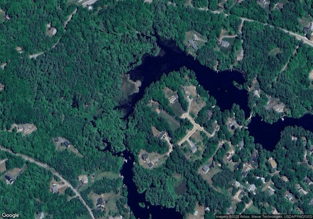
Map
Nearby Homes
- 133 & 137 Browns Pasture Rd
- 1760 Province Rd
- Map 102 Lot 9 Kramas Ln
- Map 3 Lot 18-2b and 18-2c Water St
- Map 219 Lot 6-8 Ridge Rd
- 11 Drake Hill Rd
- 8 Bow Lake Rd
- 0 1st New Hampshire Turnpike Unit 5026030
- 0 1st New Hampshire Turnpike Unit 5013320
- 150A 1st New Hampshire Turnpike
- 152 Evans Rd
- 21 Quimby Dr
- 20 Quimby Dr
- M37 L40 Beaver Rd
- 64 Kelsey Mill Rd
- 17 Brook Circle Rd
- 152 Olde Canterbury Rd
- R11 07 Clough Rd
- 955 Catamount Rd
- 268 Province Rd
- 18 Kooaukee Ct
- 28 Kooaukee Ct
- 16 Kooaukee Ct
- 30 Kooaukee Ct
- 14 Kooaukee Ct
- 21 Kooaukee Ct
- 8 Kooaukee Ct
- 42 Bow Lake Estates Rd
- 1149 Province Rd
- 5 Kooaukee Ct
- 52 Bow Lake Estates Rd
- 49 Bow Lake Estates Rd
- 41 Pointe Trinity Dr
- 41 Pointe Trinity Dr
- 56 Bow Lake Estates Rd
- 56 Bow Lake Estates Rd
- 55 Pointe Trinity Dr
- 67 Pointe Trinity Dr
- 57 Bow Lake Estates Rd
- 58 Bow Lake Estates Rd