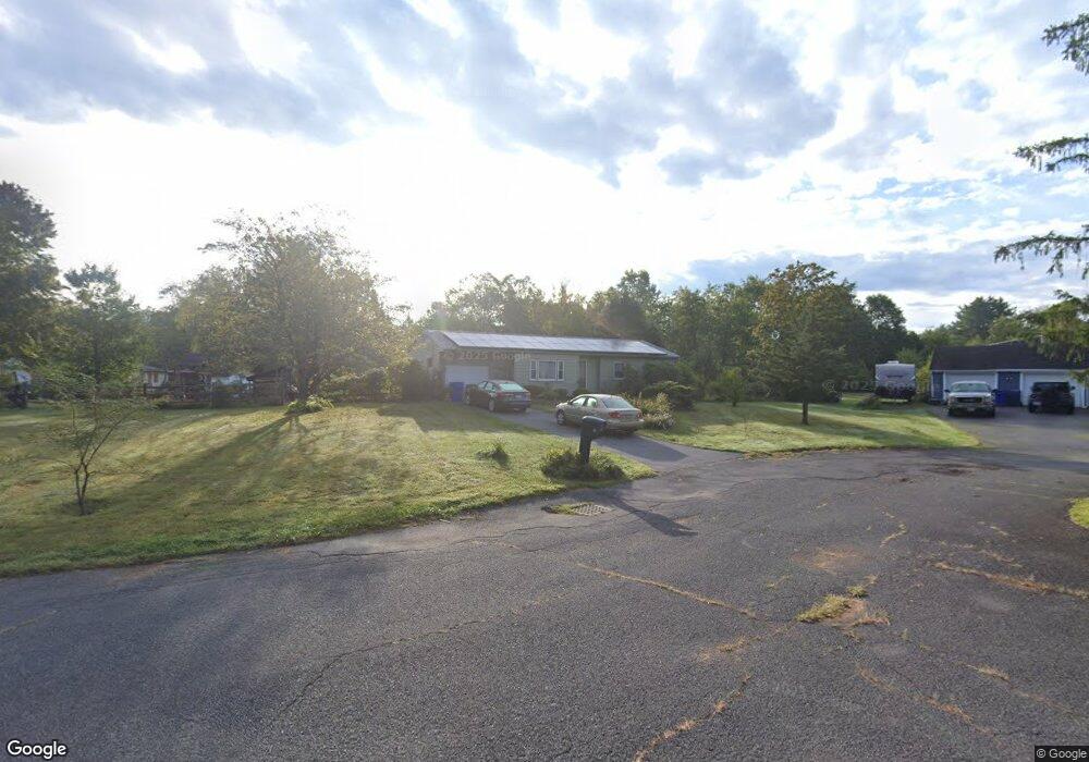
20 Lantern Ln Amherst, MA 01002
Estimated Value: $435,000 - $488,000
3
Beds
2
Baths
1,486
Sq Ft
$304/Sq Ft
Est. Value
About This Home
This home is located at 20 Lantern Ln, Amherst, MA 01002 and is currently estimated at $451,101, approximately $303 per square foot. 20 Lantern Ln is a home located in Hampshire County with nearby schools including Crocker Farm Elementary School, Amherst Regional Middle School, and Amherst Regional High School.
Ownership History
Date
Name
Owned For
Owner Type
Purchase Details
Closed on
Mar 22, 2001
Sold by
Baker Howard P and Baker Virginia H
Bought by
Bakuli David
Current Estimated Value
Home Financials for this Owner
Home Financials are based on the most recent Mortgage that was taken out on this home.
Original Mortgage
$140,600
Interest Rate
6.93%
Mortgage Type
Purchase Money Mortgage
Create a Home Valuation Report for This Property
The Home Valuation Report is an in-depth analysis detailing your home's value as well as a comparison with similar homes in the area
Home Values in the Area
Average Home Value in this Area
Purchase History
| Date | Buyer | Sale Price | Title Company |
|---|---|---|---|
| Bakuli David | $148,000 | -- |
Source: Public Records
Mortgage History
| Date | Status | Borrower | Loan Amount |
|---|---|---|---|
| Closed | Bakuli David | $130,000 | |
| Closed | Bakuli David | $160,000 | |
| Closed | Bakuli David | $140,600 |
Source: Public Records
Tax History
| Year | Tax Paid | Tax Assessment Tax Assessment Total Assessment is a certain percentage of the fair market value that is determined by local assessors to be the total taxable value of land and additions on the property. | Land | Improvement |
|---|---|---|---|---|
| 2025 | $6,311 | $351,600 | $161,600 | $190,000 |
| 2024 | $6,149 | $332,200 | $152,400 | $179,800 |
| 2023 | $5,901 | $293,600 | $138,600 | $155,000 |
| 2022 | $5,645 | $265,400 | $126,000 | $139,400 |
| 2021 | $5,363 | $245,800 | $116,700 | $129,100 |
| 2020 | $5,240 | $245,800 | $116,700 | $129,100 |
| 2019 | $5,101 | $234,000 | $116,700 | $117,300 |
| 2018 | $4,947 | $234,000 | $116,700 | $117,300 |
| 2017 | $4,822 | $220,900 | $111,100 | $109,800 |
| 2016 | $4,687 | $220,900 | $111,100 | $109,800 |
| 2015 | $4,478 | $218,000 | $111,100 | $106,900 |
Source: Public Records
Map
Nearby Homes
- 141 Tracy Cir
- 89 Potwine Ln
- 170 E Hadley Rd Unit 87
- 6 Eveningstar Dr
- 26 Greenleaves Dr Unit 635
- 27 Greenleaves Dr Unit 726
- 19 Baldwin Ln
- 24 Greenleaves Dr Unit 418
- 1 Autumn Ln
- 13 Vista Terrace
- 30 Greenleaves Dr
- 53 Pine Grove Unit 53
- 67 Pine Grove Unit 67
- 63 Amity Place Unit 63
- 100 Larkspur Dr
- 75 Amity Place Unit 75
- 0 Main St
- 174 Lincoln Ave
- 310 Belchertown Rd
- 23 Alyssum Dr
- 26 Lantern Ln
- 57 Farmington Rd
- 10 Lantern Ln
- 8 Pondview Dr
- 65 Farmington Rd
- 36 Pondview Dr
- 35 Brookside Ct
- 25 Lantern Ln
- 19 Lantern Ln
- 73 Farmington Rd
- 27 Brookside Ct
- 223 Glendale Rd
- 35 Farmington Rd
- 46 Pondview Dr
- 17 Pondview Dr
- 25 Pondview Dr
- 26 Brookside Ct
- 33 Pondview Dr
- 87 Farmington Rd
- 222 Glendale Rd
Your Personal Tour Guide
Ask me questions while you tour the home.