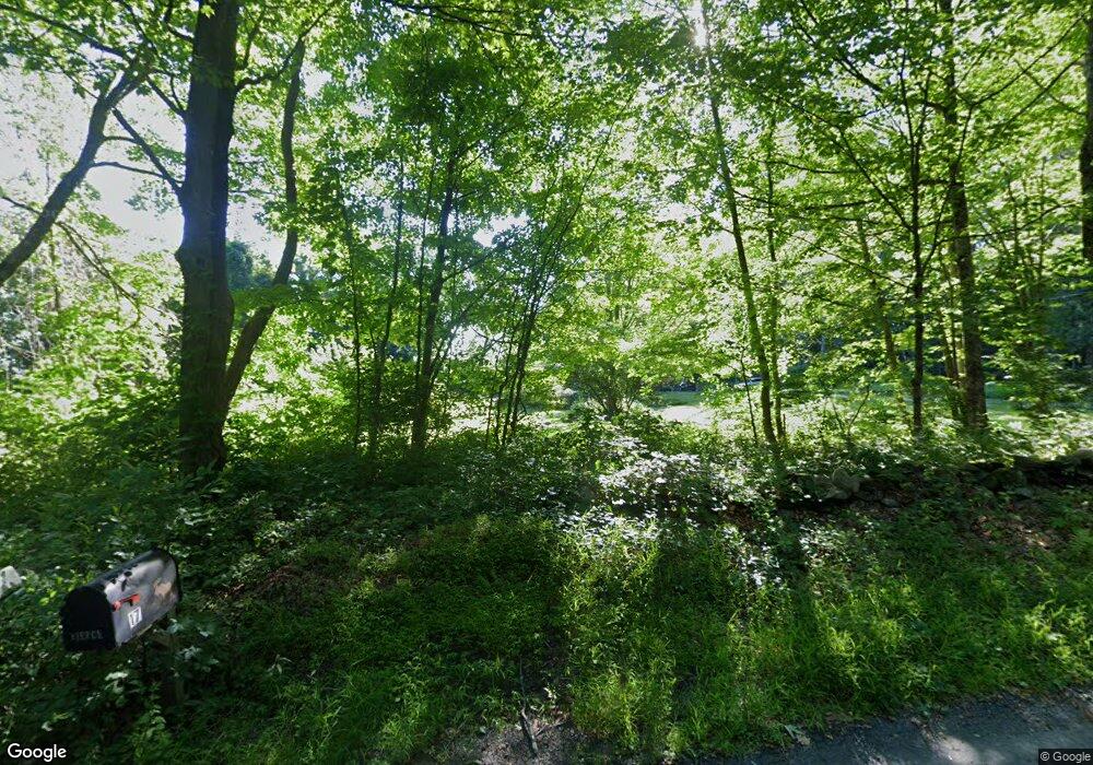
20 Laurel Mountain Rd West Whately, MA 01039
Estimated Value: $358,000 - $568,000
3
Beds
2
Baths
1,824
Sq Ft
$256/Sq Ft
Est. Value
About This Home
This home is located at 20 Laurel Mountain Rd, West Whately, MA 01039 and is currently estimated at $467,437, approximately $256 per square foot. 20 Laurel Mountain Rd is a home with nearby schools including Whately Elementary School and Frontier Regional School.
Ownership History
Date
Name
Owned For
Owner Type
Purchase Details
Closed on
Mar 23, 2021
Sold by
Bouchie-Green Catherine
Bought by
Vacca Anthony and Burchenal-Green Catherine
Current Estimated Value
Purchase Details
Closed on
Jul 6, 2000
Sold by
Abrams Cathy E
Bought by
Burchie-Green C
Home Financials for this Owner
Home Financials are based on the most recent Mortgage that was taken out on this home.
Original Mortgage
$68,000
Interest Rate
8.55%
Mortgage Type
Purchase Money Mortgage
Create a Home Valuation Report for This Property
The Home Valuation Report is an in-depth analysis detailing your home's value as well as a comparison with similar homes in the area
Home Values in the Area
Average Home Value in this Area
Purchase History
| Date | Buyer | Sale Price | Title Company |
|---|---|---|---|
| Vacca Anthony | -- | None Available | |
| Burchie-Green C | $170,000 | -- |
Source: Public Records
Mortgage History
| Date | Status | Borrower | Loan Amount |
|---|---|---|---|
| Previous Owner | Burchie-Green C | $140,000 | |
| Previous Owner | Burchie-Green C | $68,000 |
Source: Public Records
Tax History Compared to Growth
Tax History
| Year | Tax Paid | Tax Assessment Tax Assessment Total Assessment is a certain percentage of the fair market value that is determined by local assessors to be the total taxable value of land and additions on the property. | Land | Improvement |
|---|---|---|---|---|
| 2025 | $5,383 | $403,500 | $101,000 | $302,500 |
| 2024 | $5,247 | $383,300 | $106,000 | $277,300 |
| 2023 | $5,068 | $356,900 | $101,000 | $255,900 |
| 2022 | $4,999 | $364,600 | $101,000 | $263,600 |
| 2021 | $5,038 | $337,700 | $101,000 | $236,700 |
| 2020 | $5,074 | $323,800 | $98,300 | $225,500 |
| 2019 | $5,021 | $323,500 | $98,300 | $225,200 |
| 2018 | $4,962 | $323,500 | $98,300 | $225,200 |
| 2017 | $5,047 | $323,500 | $98,300 | $225,200 |
| 2016 | $4,540 | $303,500 | $98,300 | $205,200 |
| 2015 | $4,718 | $291,800 | $86,600 | $205,200 |
| 2014 | $4,463 | $283,000 | $86,600 | $196,400 |
Source: Public Records
Map
Nearby Homes
- LOT D Mountain Rd
- 151 Pantry Rd
- 147 Pantry Rd
- 0 North St Unit 73407299
- 320 West St
- 32 Swamp Rd
- 0 Old Stage Rd Unit 73394977
- 0 Pantry Rd Unit 73430264
- 37 N Farms Rd
- 45 N Farms Rd
- 121 West St
- 86 Ashfield Rd
- 3 High St
- 1 S Main St
- 158 Main St
- 2B Linseed Rd
- 0 Straits Rd
- 820 E Guinea Rd
- 3 Depot Rd
- 34 Gore Ave
- 14 Laurel Mountain Rd
- 23 Laurel Mountain Rd
- 5 Webber Rd
- 27 Laurel Mountain Rd
- 95 Haydenville Rd
- Lot B Haydenville Rd
- 95 Haydenville Rd
- 29 Laurel Mountain Rd
- 9 Laurel Mountain Rd
- 3 Webber Rd
- 33 Laurel Mountain Rd
- 33 Laurel Mountain Rd
- 33 Laurel Mountain Rd
- 0 Haydenville Rd Unit 72202866
- 0 Haydenville Rd Unit 72076529
- 0 Haydenville Rd Unit 73089218
- 0 Haydenville Rd Unit 30342966
- 0 Haydenville Rd Unit 30305414
- 9 Haydenville Rd
- 37 Laurel Mountain Rd
