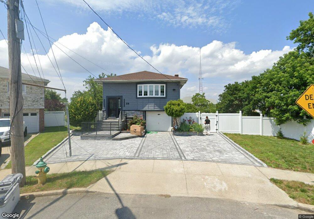
20 Laurel Rd Freeport, NY 11520
Estimated Value: $678,000 - $719,490
4
Beds
2
Baths
1,101
Sq Ft
$635/Sq Ft
Est. Value
About This Home
This home is located at 20 Laurel Rd, Freeport, NY 11520 and is currently estimated at $698,745, approximately $634 per square foot. 20 Laurel Rd is a home located in Nassau County with nearby schools including Columbus Avenue School, Caroline G. Atkinson Intermediate School, and John W Dodd Middle School.
Ownership History
Date
Name
Owned For
Owner Type
Purchase Details
Closed on
Apr 7, 2023
Sold by
Liriano Ramon and Liriano Altagracia
Bought by
Vargas Leonardo and Checo Jose
Current Estimated Value
Home Financials for this Owner
Home Financials are based on the most recent Mortgage that was taken out on this home.
Original Mortgage
$548,454
Outstanding Balance
$533,350
Interest Rate
6.65%
Mortgage Type
New Conventional
Estimated Equity
$165,395
Purchase Details
Closed on
Oct 28, 2015
Sold by
Callus Reginald R
Bought by
Liriano Ramon and Liriano Altagracia
Home Financials for this Owner
Home Financials are based on the most recent Mortgage that was taken out on this home.
Original Mortgage
$286,219
Interest Rate
4.37%
Mortgage Type
FHA
Purchase Details
Closed on
Jul 18, 2011
Sold by
Callus Reginald R and Callus Louis M
Bought by
Callus Reginald R
Create a Home Valuation Report for This Property
The Home Valuation Report is an in-depth analysis detailing your home's value as well as a comparison with similar homes in the area
Home Values in the Area
Average Home Value in this Area
Purchase History
| Date | Buyer | Sale Price | Title Company |
|---|---|---|---|
| Vargas Leonardo | $577,320 | Fidelity National Ttl Ins Co | |
| Liriano Ramon | $291,500 | Advantage Title | |
| Callus Reginald R | -- | -- |
Source: Public Records
Mortgage History
| Date | Status | Borrower | Loan Amount |
|---|---|---|---|
| Open | Vargas Leonardo | $548,454 | |
| Previous Owner | Liriano Ramon | $286,219 |
Source: Public Records
Tax History
| Year | Tax Paid | Tax Assessment Tax Assessment Total Assessment is a certain percentage of the fair market value that is determined by local assessors to be the total taxable value of land and additions on the property. | Land | Improvement |
|---|---|---|---|---|
| 2025 | $8,970 | $416 | $183 | $233 |
| 2024 | $906 | $416 | $183 | $233 |
Source: Public Records
Map
Nearby Homes
- 308 Bedell St
- 62 W 1st St
- 130 Gordon Place
- 54 W 2nd St
- 121 Garfield St
- 176 Gordon Place
- 51 Atlantic Ave
- 251 Arthur St
- 271 Arthur St
- 21 Stillwell Place
- 254 Arthur St
- 51 E 2nd St
- 251 Garfield St
- 268 Gordon Place
- 4 Laurette Ln
- 335 Arthur St
- 208 Sportsmans Ave
- 120 Sportsmans Ave
- 22 Wilshire Ct
- 3 Archer St
Your Personal Tour Guide
Ask me questions while you tour the home.