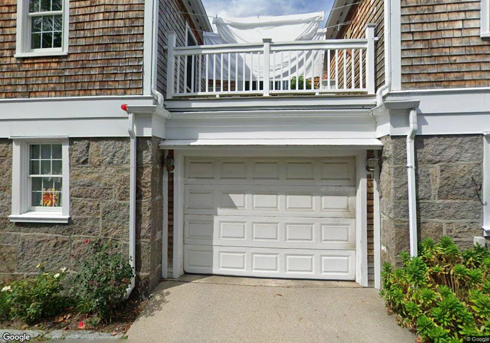
20 Leonard St Unit 3 Gloucester, MA 01930
Annisquam NeighborhoodEstimated Value: $845,716 - $936,000
2
Beds
2
Baths
1,610
Sq Ft
$558/Sq Ft
Est. Value
About This Home
This home is located at 20 Leonard St Unit 3, Gloucester, MA 01930 and is currently estimated at $897,679, approximately $557 per square foot. 20 Leonard St Unit 3 is a home located in Essex County with nearby schools including Plum Cove School, Ralph B O'maley Middle School, and Gloucester High School.
Ownership History
Date
Name
Owned For
Owner Type
Purchase Details
Closed on
May 4, 2006
Sold by
Smith 3Rd Benjamin A
Bought by
Smith 3Rd Benjamin A
Current Estimated Value
Purchase Details
Closed on
Oct 10, 2002
Sold by
Douglas Arthur F and Douglas Jewel S
Bought by
Smith Benjamin A
Purchase Details
Closed on
May 15, 2001
Sold by
20 Leonard St Trust and Cook Donald H
Bought by
Douglas Arthur F and Douglas Jewel S
Create a Home Valuation Report for This Property
The Home Valuation Report is an in-depth analysis detailing your home's value as well as a comparison with similar homes in the area
Home Values in the Area
Average Home Value in this Area
Purchase History
| Date | Buyer | Sale Price | Title Company |
|---|---|---|---|
| Smith 3Rd Benjamin A | -- | -- | |
| Smith Benjamin A | $450,000 | -- | |
| Douglas Arthur F | $360,000 | -- |
Source: Public Records
Mortgage History
| Date | Status | Borrower | Loan Amount |
|---|---|---|---|
| Open | Douglas Arthur F | $25,000 | |
| Open | Douglas Arthur F | $335,000 | |
| Previous Owner | Douglas Arthur F | $360,000 |
Source: Public Records
Tax History
| Year | Tax Paid | Tax Assessment Tax Assessment Total Assessment is a certain percentage of the fair market value that is determined by local assessors to be the total taxable value of land and additions on the property. | Land | Improvement |
|---|---|---|---|---|
| 2025 | $8,177 | $841,300 | $0 | $841,300 |
| 2024 | $7,841 | $805,900 | $0 | $805,900 |
| 2023 | $7,923 | $748,200 | $0 | $748,200 |
| 2022 | $7,939 | $676,800 | $0 | $676,800 |
| 2021 | $7,912 | $636,000 | $0 | $636,000 |
| 2020 | $8,018 | $650,300 | $0 | $650,300 |
| 2019 | $7,636 | $601,700 | $0 | $601,700 |
| 2018 | $6,884 | $532,400 | $0 | $532,400 |
| 2017 | $6,496 | $492,500 | $0 | $492,500 |
| 2016 | $6,161 | $452,700 | $0 | $452,700 |
| 2015 | $6,043 | $442,700 | $0 | $442,700 |
Source: Public Records
Map
Nearby Homes
- 672 Washington St
- 136 Leonard St
- 226 Atlantic St
- 2 Breezy Point Rd
- 178 Atlantic St
- 4 Ciaramitaro Ct
- 167 Atlantic St
- 3 Deacon Farm Ln
- 13 Honeysuckle Rd
- 31 Echo Ave
- 9 Hickory St
- 1030 Washington St
- 43 High St Unit B
- 10 Emerald St
- 13 Mystic Ave
- 3 Rockland St
- 8 Mystic Ave
- 6 Monroe Ct
- 98 Maplewood Ave
- 12 Arthur St
- 20 Leonard St Unit 5
- 20 Leonard St Unit 4
- 20 Leonard St Unit 2
- 20 Leonard St Unit 1
- 22 Leonard St
- 18 Leonard St
- 18 Leonard St Unit 2
- 18 Leonard St Unit 1
- 24 Leonard St Unit WINTER
- 24 Leonard St
- 16 Leonard St
- 14 Adams Hill Rd
- 17 Leonard St
- 1 Arlington St
- 26 Leonard St
- 2 Arlington St
- 16 Adams Hill Rd
- 14 Leonard St
- 3 Arlington St
- 21 Leonard St
Your Personal Tour Guide
Ask me questions while you tour the home.