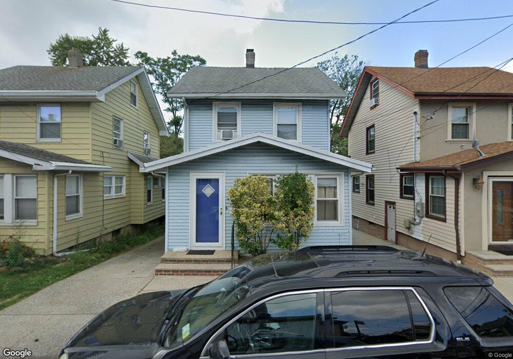
20 Lester St Staten Island, NY 10314
Westerleigh NeighborhoodEstimated Value: $537,742 - $737,000
2
Beds
1
Bath
932
Sq Ft
$668/Sq Ft
Est. Value
About This Home
This home is located at 20 Lester St, Staten Island, NY 10314 and is currently estimated at $622,686, approximately $668 per square foot. 20 Lester St is a home located in Richmond County with nearby schools including P.S. 29 Bardwell, Intermediate School 27, and Susan E Wagner High School.
Ownership History
Date
Name
Owned For
Owner Type
Purchase Details
Closed on
Jul 20, 2006
Sold by
Whalen Elizabeth A and Marie Nora Stevenson Trust
Bought by
Civiletti Anthony
Current Estimated Value
Home Financials for this Owner
Home Financials are based on the most recent Mortgage that was taken out on this home.
Original Mortgage
$337,250
Outstanding Balance
$202,748
Interest Rate
6.88%
Mortgage Type
Purchase Money Mortgage
Estimated Equity
$419,938
Purchase Details
Closed on
May 28, 2003
Sold by
Stevenson Marie Nora
Bought by
Whalen Elizabeth A and The Marie Nora Stevenson Trust
Create a Home Valuation Report for This Property
The Home Valuation Report is an in-depth analysis detailing your home's value as well as a comparison with similar homes in the area
Home Values in the Area
Average Home Value in this Area
Purchase History
| Date | Buyer | Sale Price | Title Company |
|---|---|---|---|
| Civiletti Anthony | $355,000 | None Available | |
| Whalen Elizabeth A | -- | -- |
Source: Public Records
Mortgage History
| Date | Status | Borrower | Loan Amount |
|---|---|---|---|
| Open | Civiletti Anthony | $337,250 |
Source: Public Records
Tax History Compared to Growth
Tax History
| Year | Tax Paid | Tax Assessment Tax Assessment Total Assessment is a certain percentage of the fair market value that is determined by local assessors to be the total taxable value of land and additions on the property. | Land | Improvement |
|---|---|---|---|---|
| 2025 | $4,425 | $32,280 | $7,900 | $24,380 |
| 2024 | $4,425 | $34,440 | $6,986 | $27,454 |
| 2023 | $4,474 | $22,032 | $6,854 | $15,178 |
| 2022 | $4,365 | $32,100 | $10,920 | $21,180 |
| 2021 | $4,341 | $26,580 | $10,920 | $15,660 |
| 2020 | $4,120 | $25,620 | $10,920 | $14,700 |
| 2019 | $3,841 | $26,460 | $10,920 | $15,540 |
| 2018 | $3,743 | $18,360 | $7,918 | $10,442 |
| 2017 | $3,715 | $18,222 | $8,482 | $9,740 |
| 2016 | $3,437 | $17,191 | $7,631 | $9,560 |
| 2015 | $2,936 | $16,218 | $10,706 | $5,512 |
| 2014 | $2,936 | $15,300 | $12,120 | $3,180 |
Source: Public Records
Map
Nearby Homes
- 33 Gower St
- 25 Coale Ave
- 80 Kemball Ave
- 83 N Gannon Ave Unit A
- 125 N Gannon Ave
- 86 Clermont Place
- 25 Winthrop Place
- 21 Winthrop Place
- 27 Sommers Ln
- 80 Beechwood Place
- 148 Sturges St
- 136 Sturges St
- 85 Perry Ave
- 105 Perry Ave
- 160 Westcott Blvd
- 179 Mountainview Ave
- 60-A Perry Ave
- 36 Sawyer Ave
- 77 Todt Hill Rd
- 125 Westcott Blvd