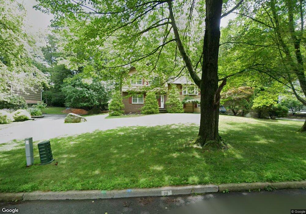
20 Lillian Ct Ramsey, NJ 07446
Estimated Value: $837,739 - $994,000
--
Bed
--
Bath
2,192
Sq Ft
$430/Sq Ft
Est. Value
About This Home
This home is located at 20 Lillian Ct, Ramsey, NJ 07446 and is currently estimated at $943,435, approximately $430 per square foot. 20 Lillian Ct is a home located in Bergen County with nearby schools including Ramsey High School and Young World Day School.
Ownership History
Date
Name
Owned For
Owner Type
Purchase Details
Closed on
Aug 29, 2000
Sold by
Sforza Frank D
Bought by
Buysse Anthony and Buysse Michelle
Current Estimated Value
Home Financials for this Owner
Home Financials are based on the most recent Mortgage that was taken out on this home.
Original Mortgage
$190,000
Outstanding Balance
$69,248
Interest Rate
8.1%
Estimated Equity
$874,187
Create a Home Valuation Report for This Property
The Home Valuation Report is an in-depth analysis detailing your home's value as well as a comparison with similar homes in the area
Home Values in the Area
Average Home Value in this Area
Purchase History
| Date | Buyer | Sale Price | Title Company |
|---|---|---|---|
| Buysse Anthony | $417,500 | -- |
Source: Public Records
Mortgage History
| Date | Status | Borrower | Loan Amount |
|---|---|---|---|
| Open | Buysse Anthony | $190,000 |
Source: Public Records
Tax History Compared to Growth
Tax History
| Year | Tax Paid | Tax Assessment Tax Assessment Total Assessment is a certain percentage of the fair market value that is determined by local assessors to be the total taxable value of land and additions on the property. | Land | Improvement |
|---|---|---|---|---|
| 2025 | $16,512 | $757,400 | $413,400 | $344,000 |
| 2024 | $16,014 | $585,100 | $307,300 | $277,800 |
| 2023 | $15,347 | $585,100 | $307,300 | $277,800 |
| 2022 | $15,347 | $585,100 | $307,300 | $277,800 |
| 2021 | $15,172 | $585,100 | $307,300 | $277,800 |
| 2020 | $15,037 | $585,100 | $307,300 | $277,800 |
| 2019 | $14,382 | $585,100 | $307,300 | $277,800 |
| 2018 | $14,025 | $585,100 | $307,300 | $277,800 |
| 2017 | $13,762 | $585,100 | $307,300 | $277,800 |
| 2016 | $13,381 | $585,100 | $307,300 | $277,800 |
| 2015 | $12,957 | $479,700 | $282,500 | $197,200 |
| 2014 | $12,736 | $479,700 | $282,500 | $197,200 |
Source: Public Records
Map
Nearby Homes
- 35 Lillian Ct
- 453 Island Rd
- 194 N Central Ave
- 511 Washington Dr
- 712 Washington Dr
- 18 Morse Ave
- 45 Windsor Ln
- 128 Oak Ridge Rd
- 112 Ackerman Ave
- 24 Mohawk Dr
- 46 Cherry Ln
- 312 Cypress Ct Unit 2
- 199 Darlington Ave
- 8 Elbert St
- 112 Magnolia Rd Unit 4
- 135 Mulberry Rd Unit 6
- 172 Redwood Ct Unit 10
- 585 N Central Ave
- 1 Spruce Run
- 21 Spruce Run